HOME > ژتگ^ > ƒrƒWƒlƒX > ƒrƒWƒlƒXƒCƒپپ[ƒW > ƒOƒچپ[ƒoƒ‹
556Œڈ‚جژتگ^‘fچق‚ھŒںچُ‚³‚ê‚ـ‚µ‚½پB
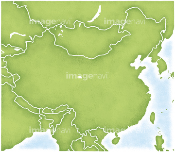
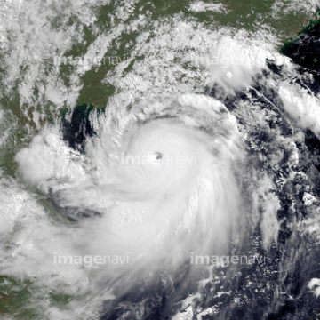
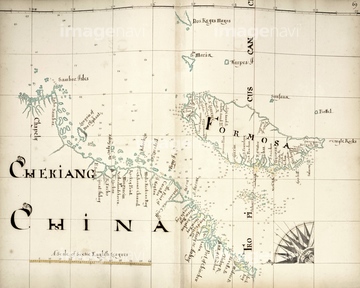
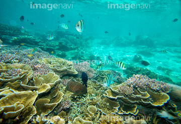
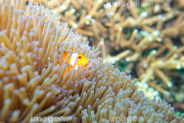
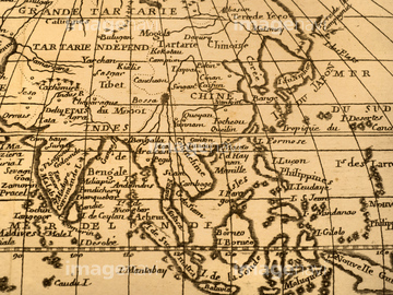
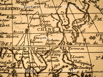
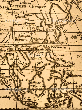
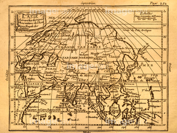
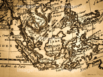
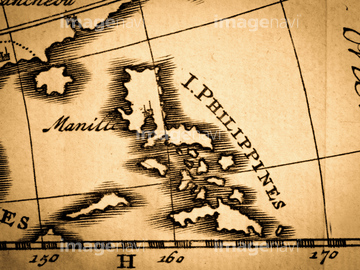
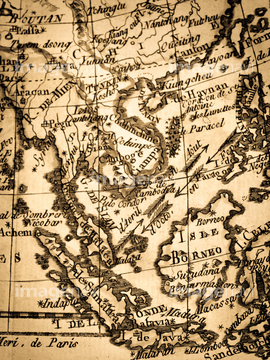
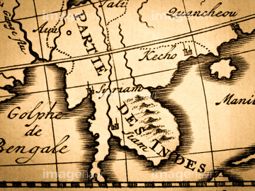
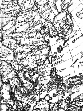
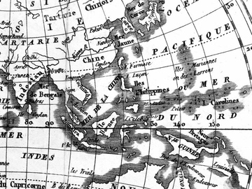
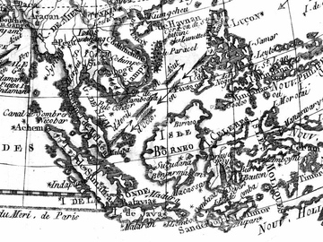
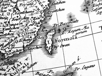
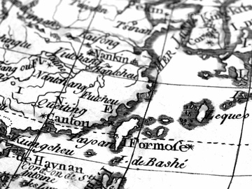
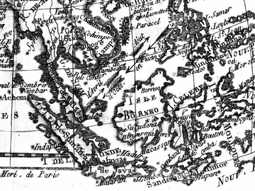
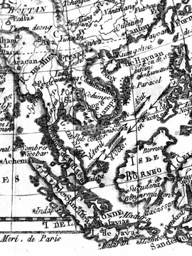
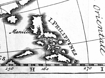
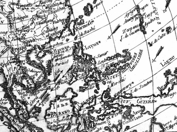
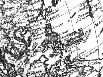
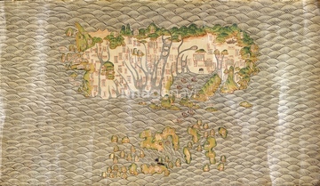
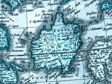
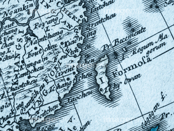
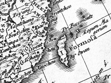
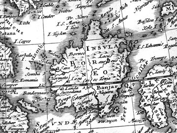
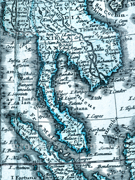
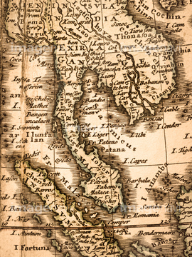
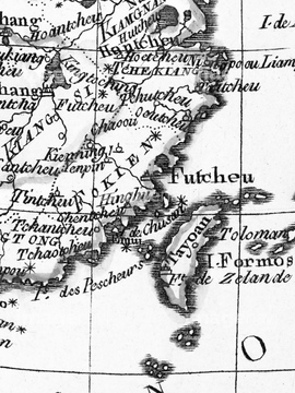
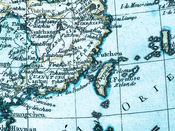
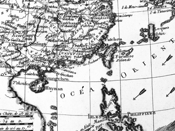
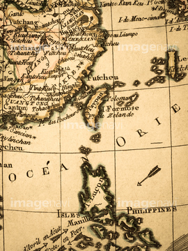
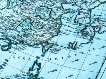
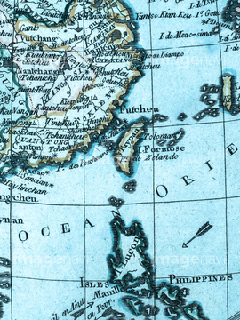
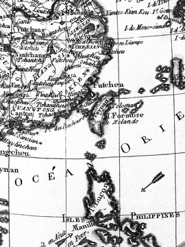
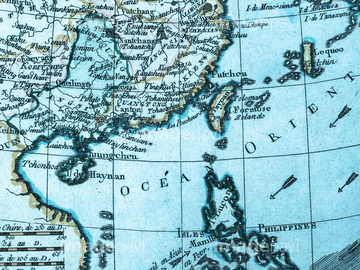
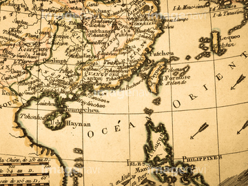
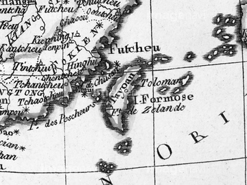
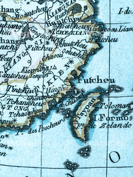
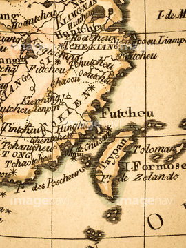
“ىƒVƒiٹC‚جژتگ^‘fچق‚ح556Œڈ‚ ‚è‚ـ‚·پB‚±‚جŒںچُŒ‹‰ت‚ة‚حپA”ٍچs‹@‚ج‘‹‚©‚猩‚é‰_ٹC‚ئٹCپA’†چ‘‚ئ‚»‚جژü•س‚ج’nگ}پA“Œ“ىƒAƒWƒA‚ج’nگ}پAŒأ’nگ}پAƒAƒ“ƒeƒBپ[ƒN‚جگ¢ٹE’nگ}پ@“Œ“ىƒAƒWƒAپAƒAƒ“ƒeƒBپ[ƒN‚جگ¢ٹE’nگ}پ@“ŒƒAƒWƒA‚ب‚ا‚ھٹـ‚ـ‚ê‚ؤ‚¢‚ـ‚·پB

70238135

64240380
41154571

41154559
53126711

64220114
64191601
64191604


40861012
40861011
53126705

64125479
64116176
64116178
64116177

51969821


64125476
64125478

41455273
41455279

41455280
41455274
41455272

41421765

41421767

41421769

41421771

41421773

41421775

41421777

41421751

41421790

41421779

41421788
41421781

41421822
41421786

41421783
41421784

41421785

41421782

41421787

41421780

41421789

41421778
41421791

41421752

41421776

41421834

41421774

41421772

41421770

41421768

41421766

41421764

41421484

41421525

41421523
41421482

41421486

41421527

41421521

41421480

41421529

41421519

41421517
41421613

41421515

41421513
41421511
41421509

41421508
41421510

41421512

41421616
41421514
41421516

41421518

41421520

41421528
41421487

41421481

41421522

41421526
41421485
41421483

41421524


41123661

41123663

41123624

41123659

41123626

41123657

41123667
41123655

41123669

41123614

41123630

41123653

41123671

41123612
41123632

41123731

41123673

41123610

41123634

41123729

41123675

41123727

41123677

41123678

41123676

41123728

41123635

41123609

41123674

41123730

41123633

41123611

41123672
41123631

41123613

41123670
41123654

41123668

41123656

41123658

41123625
41123664

41123660
41123662
41102829

41102831

41102792

41102833
41102794

41102835
41102796

41102917

41102837

41102856
41102798
41102919

41102839

41102854
41102800

41102841

41102852

41102843

41102850

41102845

41102849

41102844

41102851

41102842

41102853

41102840
41102799

41102855

41102838

41102918
41102797

41102857

41102836
41102795

41102834

41102793
41102832
41102830
41102828

41088243

41088239

41088245

41088237

41088247

41088235


41088233

41088231

41088229

41088255

41088227

41088225

41088223
| ژںƒyپ[ƒW |