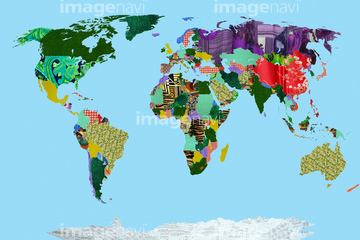
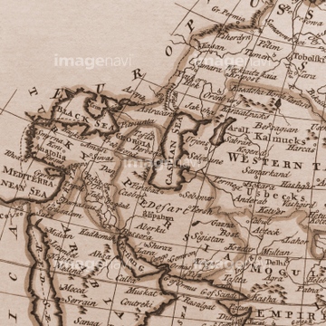
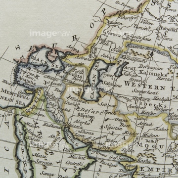
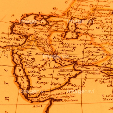
HOME > ژتگ^ > ڈو‚蕨پEŒً’ت > Œً’تƒCƒپپ[ƒW > ’nگ}
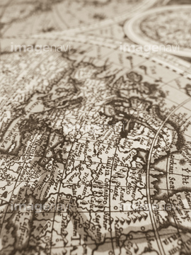
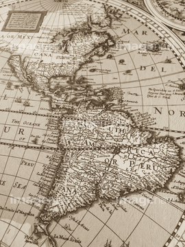
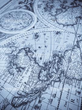
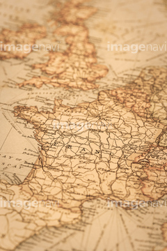
10,000Œڈ‚جژتگ^‘fچق‚ھŒںچُ‚³‚ê‚ـ‚µ‚½پB
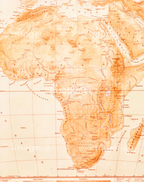
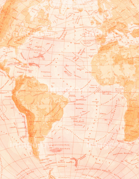
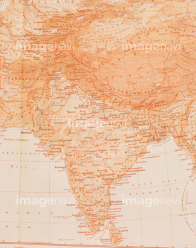
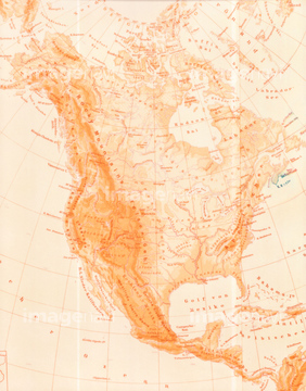
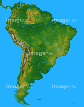
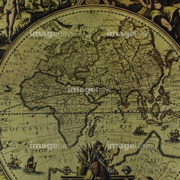
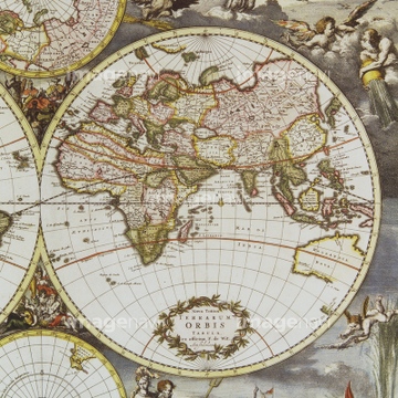
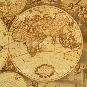
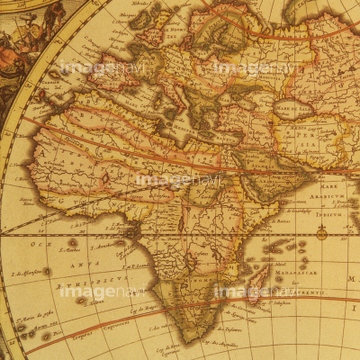
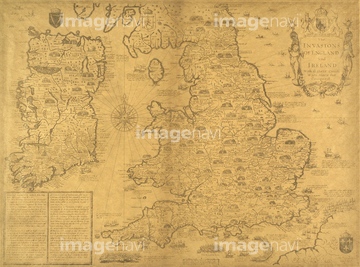
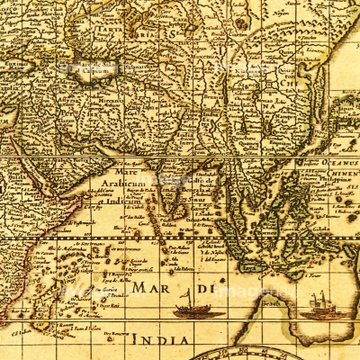
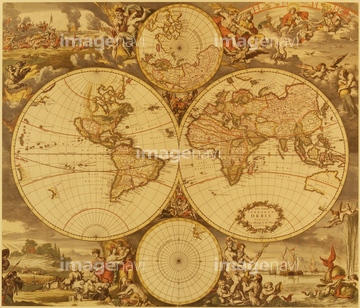
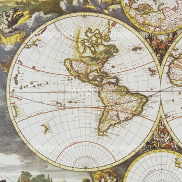
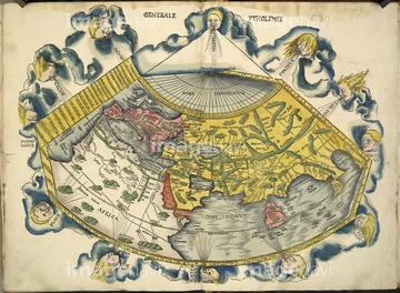
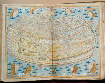
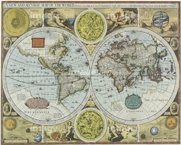
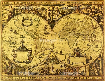
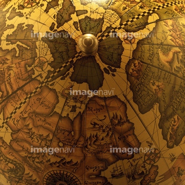
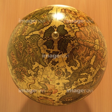
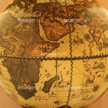
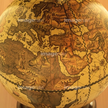
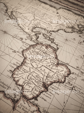
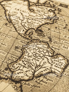
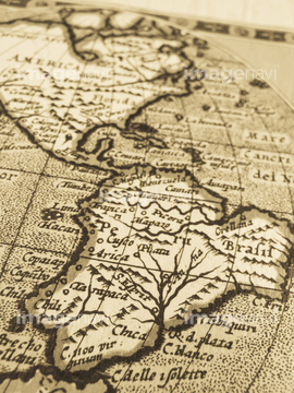
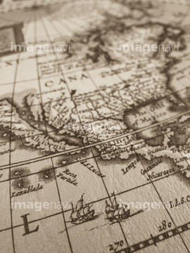
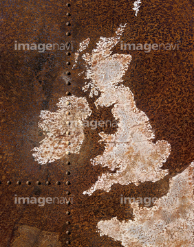
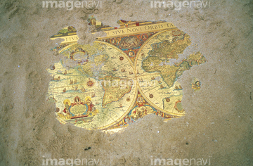
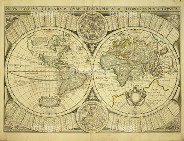
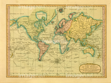
‚±‚جŒںچُŒ‹‰ت‚ة‚حپAŒأ’nگ}ƒCƒپپ[ƒWپAŒأ’nگ}پAگ¢ٹE’nگ}پAŒأ‚¢گ¢ٹE’nگ}پA’n‹…‹VپAContinents outlined on a world map‚ب‚ا‚ھٹـ‚ـ‚ê‚ؤ‚¢‚ـ‚·پB
10903464
10903456
10903458
10903461
10903460

10307331

10307335

10307351

10307357

10307361
10903455
30014856
30014858

10307301

10307320

10307332

10307334

10307344

10307345

10307348

10307349

10307362
10307319
10307324
10307325
10307326

10307333
10307339
10307340
10307342

10307343

10307358

10307359

10918136

10307341

10307350

10307352

10307353
16922585
19283283
30013599
10918542
10918620
10918544
10036519
12406251

10307315
10307316
10307317

10307323
10307330

10307356

10307360
40515434
40515460
40515461
40515480

10307308
10307302
10307303
10307305
10307307
10307309
10307310
10307312
10307313
10307314
10307321

10307322
10307327
10307329
10307336
10307337
10307338
10307346
10307347

10307354

10307355
10307399
30036701

12401891

30036702
14103481
30013617
19283281
19283282
70195238
40860459
40515432

40515433
40515459

40515469
64082763

14103482
10307318
10307328
10307390
10307391
10307392
10307393
10307394

10307395
10307396
10307397
10307398
10307400
63020006
70201730

70201731
30036073
16922575

10922780

10922781
40869827
40860441
40860444
40860452
40860465
40515435
40515442
40515445
40515446
40515447
40515450
40515451
40515455
40515458
40515462
40515465
40515467
40515471
40515472
40515475
40515476
40515477
40515478
40515479
40515481
40515482

40534589
40534592

40534594
40534595
40534596
40534598
40534599
20932380
10307304
10307306
10307311
30036054
30036593
40033725

21852887
64037990

10114855

70040576
30047041
30013590
30036703
30036704
16922562
16922566
16922567
16922568
16922569
16922570
70272645

00018928

30036448
30014855
30035878
30036066
30035869
19283045
19283091
19283231
19283232
19283233
19283234
19283280
70194581

70195234
70283498
70283507
40563071
10918628
10918553

16922584
40860454
41421606
41421818
41455284
41455287
| ژںƒyپ[ƒW |
