HOME > ژتگ^ > ’nگ}پE‰qگ¯ژتگ^ > گ¢ٹE‚ج’nگ} > ƒAƒtƒٹƒJ
10,000Œڈ‚جژتگ^‘fچق‚ھŒںچُ‚³‚ê‚ـ‚µ‚½پB
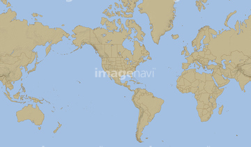
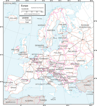
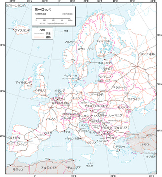
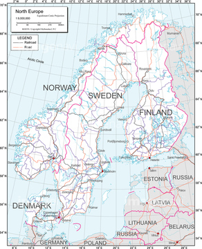
‚±‚جŒںچُŒ‹‰ت‚ة‚حپAƒˆپ[ƒچƒbƒpپAƒAƒtƒٹƒJ‘ه—¤پA–kƒAƒپƒٹƒJ‘ه—¤پAƒtƒ‰ƒ“ƒXژü•س’nگ}پA’nˆوگ}_ƒAƒ‹ƒvƒX_Œً’تگ}پA’nˆوگ}_ƒˆپ[ƒچƒbƒpپEƒچƒVƒA_Œً’تگ}‚ب‚ا‚ھٹـ‚ـ‚ê‚ؤ‚¢‚ـ‚·پB
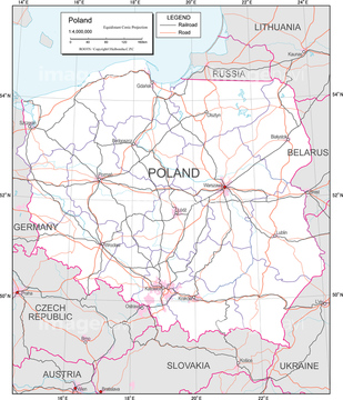
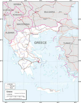
14301139

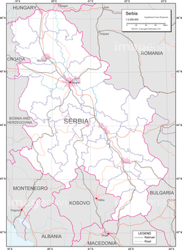
14301133
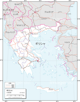
14301134
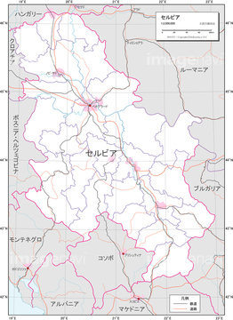
14301135
14301136
14301137
14301138
14301140
14301142
14301143

14301141
14301082
14301083
14301084

14301094
14301095
14301078
14301079
14301080
14301081
14301085

14301087
14301088
30038106
14301195

14301199
19601647
19604483
19601658

14301089
14301090

14301091

14301092
14301093

14301096
19604479
19601654
14301187
14301188
14301189
14301190
14301203
14301204
14301205
14301206
19604628
19601783

14301127

14301128
14301063

14301064

14301065
14301115
14301116
14301117
14301279
14301280
14301281
14301282
14301287

14301274
14301275
14301276
14301277

14301286
30039259

64055083
19604476
19601651
19604478
19601653
19604622
19604627
19604629
19604632
19601777
19601782
19601784
19601787
14301098
14301099
19604472
14301306
14301307
14301308
14301309
19600820

14301122

14301123

14301124

14301125

14301126

14301129
14301241
14301242
14301243
14301244
14301249
14301253

14301375

14301376
14301377

14301378

14301379

14301380

14301381

14301382
14301383

14301384

14301385

14301386

14301387

14301388

14301389

14301390
14301391

14301395

14301396
19604626
19604648
19601781
19601801
19604607
19604633
19601764
19601788
14301104
30038102

14301105
14301106
14301191

14301192
14301193
14301194
14301200
14301201
14301202

14301207

14301208

14301209

14301210

14301211

14301215

14301216
14301111
14301112
14301113
14301114
14301118
14301120
14301121

14301066

14301067

14301068
30038081

14301368

14301369

14301370


11830077
19604498
19601673
14301148
19604623
19604624
19604625
19604640
19604647
19604649
| ژںƒyپ[ƒW |
