HOME > ژتگ^ > ’nگ}پE‰qگ¯ژتگ^ > گ¢ٹE‚ج’nگ} > ƒAƒtƒٹƒJ
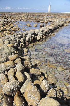
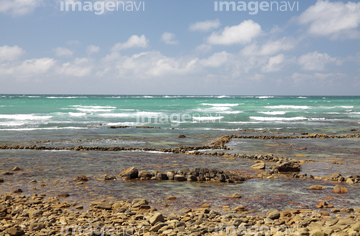
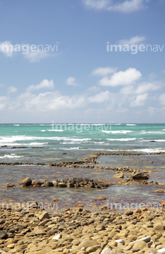
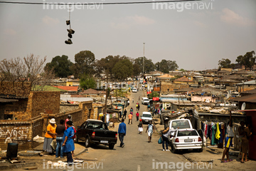
10,000Œڈ‚جژتگ^‘fچق‚ھŒںچُ‚³‚ê‚ـ‚µ‚½پB
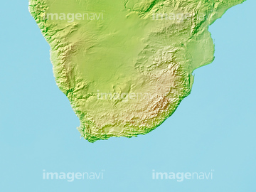
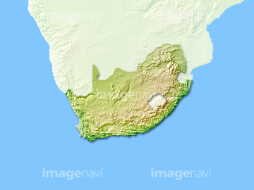
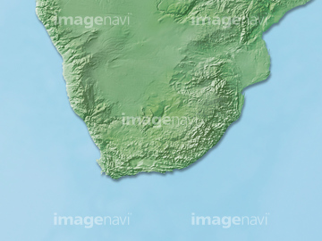
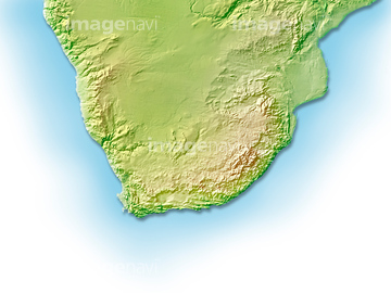
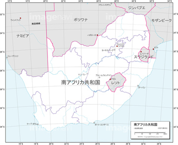
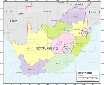
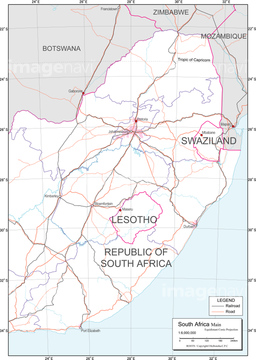
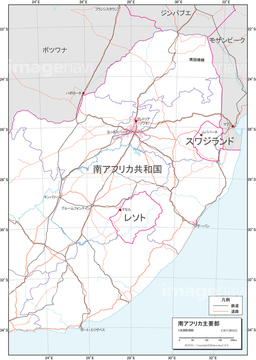
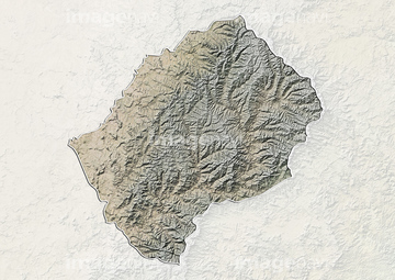
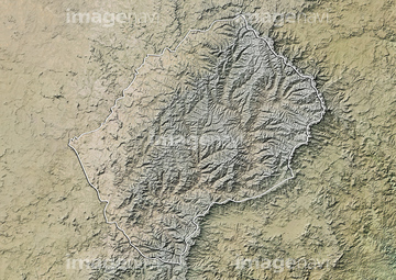
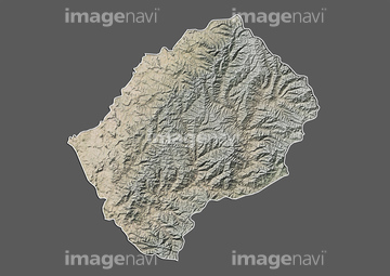
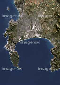
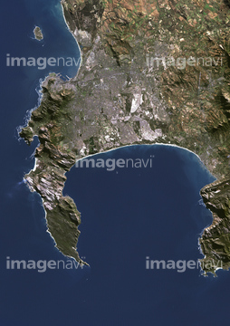
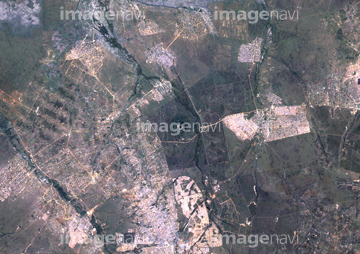
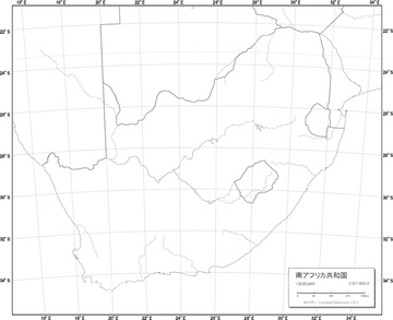
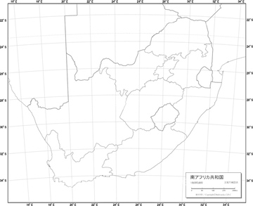
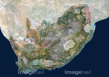
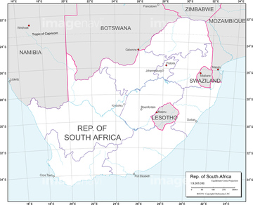
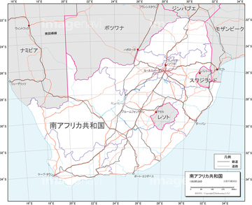
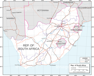
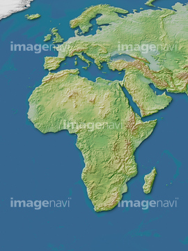
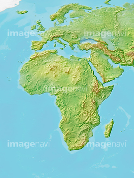
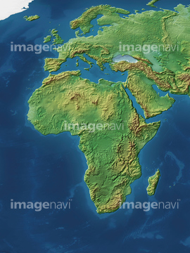
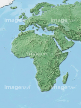
‚±‚جŒںچُŒ‹‰ت‚ة‚حپA“ىƒAƒtƒٹƒJ’nگ}پA“ىƒAƒtƒٹƒJژü•س’nگ}پA“ىƒAƒtƒٹƒJ‚ج’nگ}پAچ‘•تگ}_“ىƒAƒtƒٹƒJ_ƒŒƒٹپ[ƒtپAچ‘•تگ}_“ىƒAƒtƒٹƒJ_”’’nگ}پAچ‘•تگ}_“ىƒAƒtƒٹƒJ_چsگ‹و•ھگ}‚ب‚ا‚ھٹـ‚ـ‚ê‚ؤ‚¢‚ـ‚·پB

14301331

14301329
14301330
14301337
14301328
14301325
14301326

14301327
14301332
14301336
14301324

14301335

14301333

14301334
14301338
14301339

30038114

41226068

19603490
19600397
19600930
19604467
19601642
19600815
10918628
64083493
16907894
51451194

41126985

41139668
19602339
19602391
19602445
19602499
19600273

19600551
19600671
19602013
19602018
19602022
19604321

51436147

41575254

40579142

41042092
19605134
19604581
19604582
19604734
19604856
19605008
19601081
19601201

19604063

40573651
19604206

41278275
51417299

40572785


41087445
51417298
64082965

51477200
51466450
40054197
63031824
63031432
63031737
63030065

14301078
19603941

23052447
51498294
64028039
14301079
14301080
14301081
14301085

41539495

41539696

41480030
41267286
41267288

41267299
41267306

41267307
63030672
14301257
14301258
14301259

14301260
14301270
63031327
64242381

64242382

64242383
64242394
18549908
19414508

64214288
64214393

14301089

14301122
14301144
14301145
14301146
14301147

14301155

14301156
14301157

14301158

14301159

14301160
14301161

14301162

14301163

14301167

14301168

14301346

14301375

14301376
14301377

14301378

14301379
14301382
14301383

14301384

14301385

14301386

14301387

14301388

14301389

14301390
14301391
14301395

14301396
41267322

14301045

14301046

14301047
14301294
14301295
14301296
14301297
14301303

14300062


51488445
51915877
51478137
51478138
19285845
30392874

30392890

51991977

14301313

14301314

14301315

14301316
| ژںƒyپ[ƒW |
