HOME > ژتگ^ > ’nگ}پE‰qگ¯ژتگ^ > گ¢ٹE‚ج’nگ} > گ¢ٹE‘Sگ}
10,000Œڈ‚جژتگ^‘fچق‚ھŒںچُ‚³‚ê‚ـ‚µ‚½پB
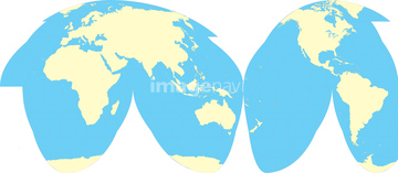
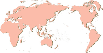
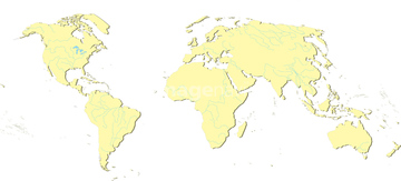
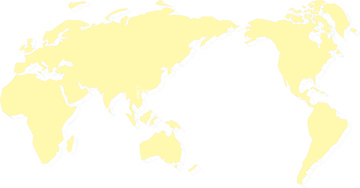
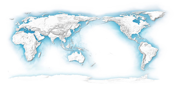
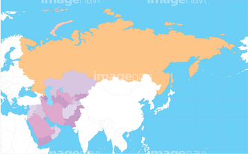
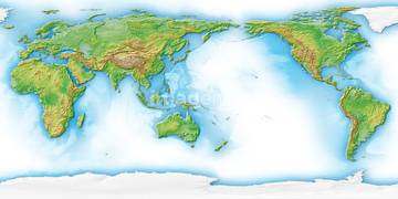
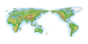
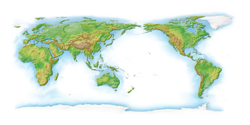
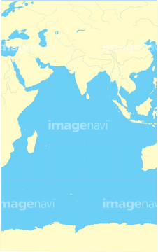
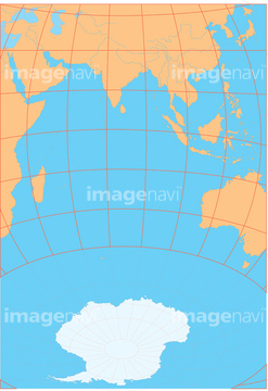
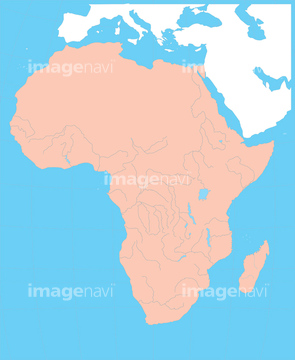
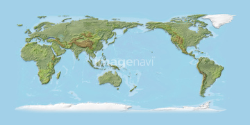
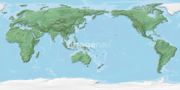
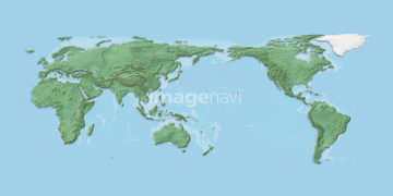
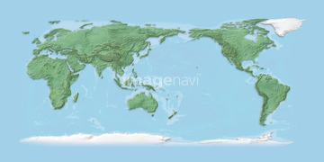
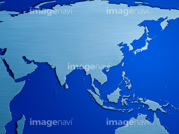
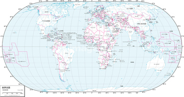
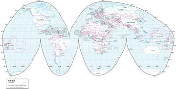
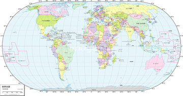
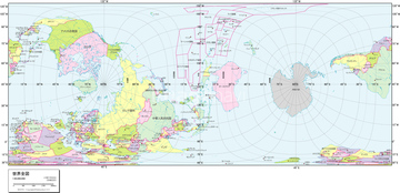
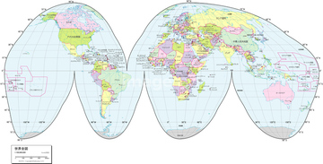
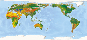
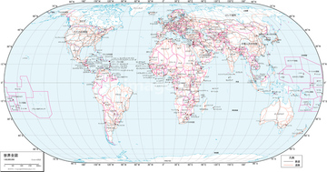
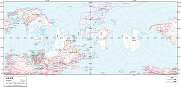
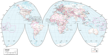
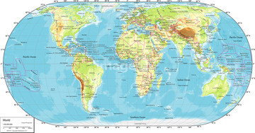
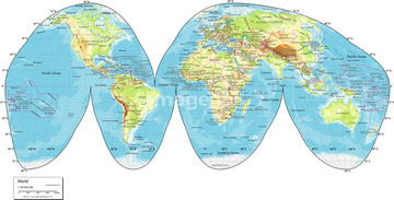
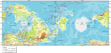
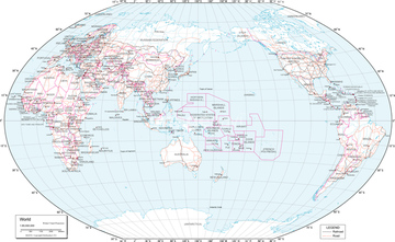
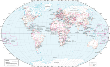
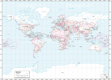
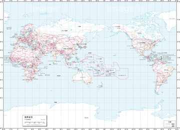
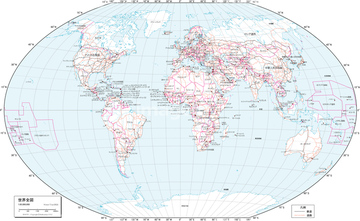
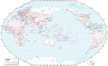
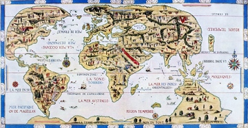
‚±‚جŒںچُŒ‹‰ت‚ة‚حپAگ¢ٹE’nگ}ƒCƒپپ[ƒWپAگ¢ٹE’nگ}•Wچ‚ƒCƒپپ[ƒWپAMap of Russia and Middle East in colorsپAگ¢ٹE’nگ}”’”wŒiپAIndian Ocean-centered mapپAIndian Ocean-centered map on globe‚ب‚ا‚ھٹـ‚ـ‚ê‚ؤ‚¢‚ـ‚·پB
16907919

16907921
16907761
16907909
14301069
14301070
14301071

14301072

14301073
16907785
16907754
16907762
16907916
16907747
16907773
16907917
16907748
16907755
16907756
16907913
16907884
16907889
16907752
16907753
14301063
14301064
14301065
16907784
16907759
16907793
16907757
16907772
16907774
16907918
16907749
16907758
16907779
16907780
16907873
16907911
16907912
16907778
16907781
16907795
16907892
16907906
16907789
16907790
14301066
14301067
14301068
14301045
14301046
14301047
16907787
16907796
16907775
16907776
16907777
16907782
16907783
16907874
16907887
16907904
16907905
16907910
16907914
16907915
16907750
16907760
16907920
16907903
16907751
16907908
16907875
16907902
14301048
14301049
14301050
14301051
14301052
14301053
14301054
14301055
14301056
14301057
14301058
14301059
14301060
14301061
14301062

64055079
16907786
16907879
16907890
16907897
16907898
16907872
16907878
16907882
16907893
16907894
16907895
16907896
16907876
14301074
14301075
14301076
14301077
16907877
16907880
16907881
16907883
16907885
16907886
16907888
16907891
16907899
16907900
16907901
16907907
30047041
63020007

64052702

10903456
64082674
14301108
19600228
19600237
19600778
19600784
19600787
70093225
70102712

70125589

51435744
30035590

64055082
30039259
10903460
10918567
19604684
19604687
19604690
19601606
19601612
19601615

64055073

64052691
14301119
14301104
14301344
14301345
17265926
16907764
16907765
16907771

30047317
16907768
16907769
19601036

19601042
19601045
19604164
19604167
19604170

51417134
30013599
30036702
19604691
19604692
19601601
19601602
10903458
10903461
10903464
10918136

17265925
30026690
51495010
14301111
14301112
14301113
14301114
14301115
14301116
14301117
14301118
| ژںƒyپ[ƒW |
