HOME > ژتگ^ > ڈو‚蕨پEŒً’ت > Œً’تƒCƒپپ[ƒW > ’nگ}
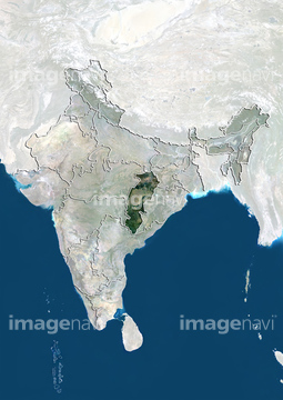
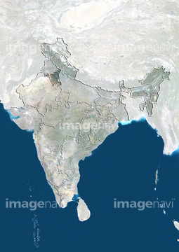
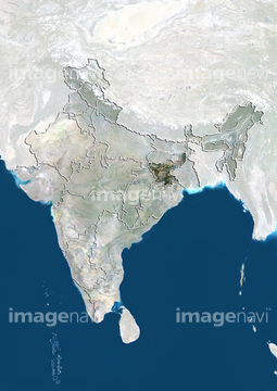
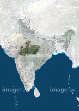
10,000Œڈ‚جژتگ^‘fچق‚ھŒںچُ‚³‚ê‚ـ‚µ‚½پB
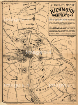
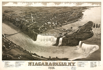
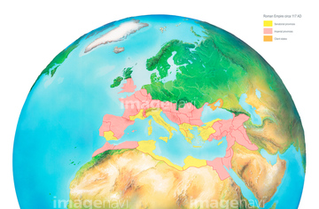
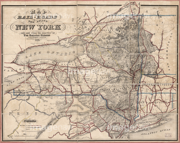
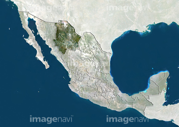
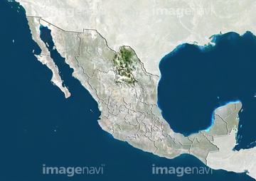
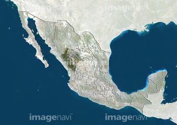
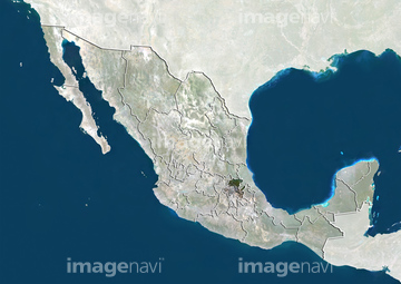
‚±‚جŒںچُŒ‹‰ت‚ة‚حپA’nگ}ƒCƒپپ[ƒWپAچqٹCƒCƒپپ[ƒWپAŒأ’nگ}پAŒأ’nگ}ƒCƒپپ[ƒWپARoman Empire, artworkپAMap of the Rail-Roads of the State of New York, Prپc‚ب‚ا‚ھٹـ‚ـ‚ê‚ؤ‚¢‚ـ‚·پB
17200242
30014856
30014858

17274337
30036704
30036748


51424033
64239607
30036743
30036745
30047316
52210909

64149791
52228583

19286467

64050184
64191575
30036448
64011190
29071317
30014855
12406251
53121115
30036720

52215736


19285242

19285243

32440926

10307301

10307320

10307331

10307332

10307334

10307335

10307344

10307345

10307348

10307349

10307351

10307357

10307362
64048838
30036746


| ژںƒyپ[ƒW |
