HOME > 写真 > 自然・風景 > 宇宙 > 地球
10,000件の写真素材が検索されました。
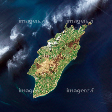
この検索結果には、Boston, USA, satellite image、Budapest, Hungary, satellite image、Chicago, USA, satellite image、Helsinki, Finland, satellite image、Ibiza, Spain, satellite image、Kiev, Ukraine, satellite imageなどが含まれています。
17200263

64014117

64015263

64014831

64074902

64053686

64154732

64210700
64014192

64014193

64014194


64014196
64014211
64014212


64014147

64014155
64014156
64014161
64014164


64014670

64014109
64015487
64014923
64016071


64065656
64065660


64016256

64016257
64016332


64011094

64011098
64011100
64014199
64014148
64014151
64014152
64014154
64014157
64014158
64014163
64014165
64014166
64014169

64051876

64139332
64065658
64065662
64037462
64212390
64260878
64014739
64015260

64210710


64220114


64016860

64016861

64016862

64016863

64016878

64016884
64017024

64011099
64014198
64014200
64014149
64014159
64014160
64014162
64014168


64060621

64014740

64163101
64011101
64011276

64046391

64098673

64098684
64014770

64014975

64041390
64113430
64113431

64014968

64074792

64074793
17200266

64014421
64263649
64015259
64026179
64026180
70571204

64053325

64088839

64014700
64011097
64011103
64011181
64011401


64097127

64129762

64098688

64098690


64098702

64098804

64098806

64098807

64098808
64014969
64012741

64041383
64059759

64100572
64097883

64014976

64014977

64014985


64244158
64244159


64214598
64012909

64010000

64010005

64139331


64102918
64163303
64146932
64246524
64246546
17200271
64096063
64100578
64100579
64100581
64014961
64067340

64067341

64067342

64067343

64067344
| 次ページ |
