HOME > 写真 > 地図・衛星写真 > 衛星写真 > 環境問題
10,000件の写真素材が検索されました。
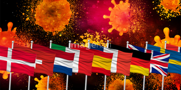
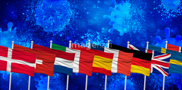
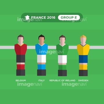
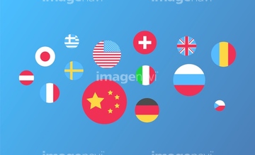
この検索結果には、国旗 国 世界 アイコン、コロナ ウイルス ヨーロッパ ばい菌、コロナ ウイルス ヨーロッパ 撃退、風船 国旗 世界 アイコン 、ヨーロッパ コロナ ウイルス 背景、Table Football (Soccer) players, France 2016, grou…などが含まれています。
19018785
19018786

19018787
19018788
19018789


41563007
41408186
41408187
41408188
41408189
41408190
41408191
19019554

51450260


64205834

41211319
41563005
41408183
41408184
30038098
41563004
29720624
29720625
20546013
30038106
17263970
17263972
17263985
17263989
17263990
17263991
20512017
41136214
41136215
30038103
64119851
30038094
41279766
29621107
29615665
64094133
64108422
64109851
64089854
30038105
41136359
41136360
30038093
29611902
29703379
20528198
41133976
41133977

41563042
41575225
41126954
41139638
41120473
41198890
41087461
41278243
40579108
40586547
40586548
41042062
41137347
41137348
30038099
41563008
41137050
41137051
29705206
64161939
64156264
64078756
64087008
64127285
30038107
19007212


29620814

29620818


29620543


30038095
64044993
41279806
41135833
41118790
40568896
41279804
20530266
41279821
51432167
51432461
51432462
51432463
51432464
| 次ページ |
