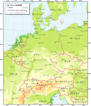
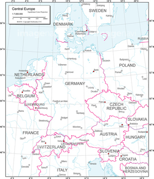
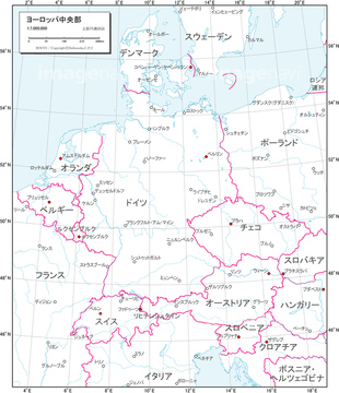
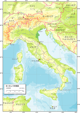
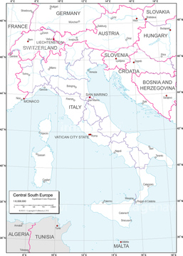
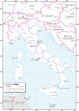
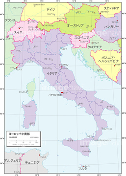
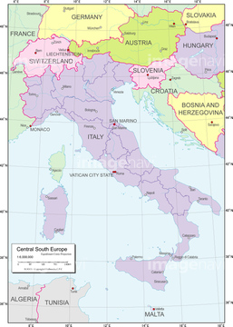
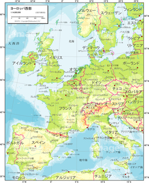
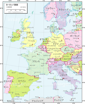
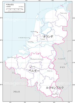
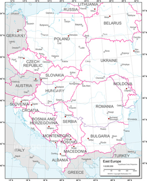
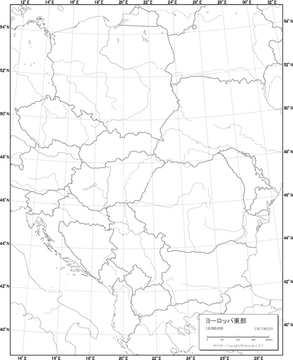
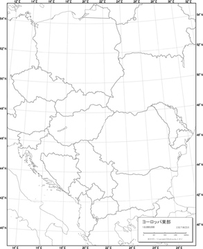
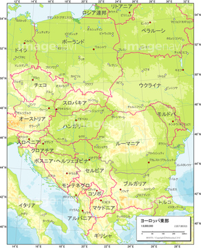
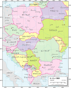
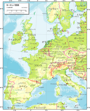
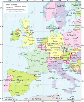
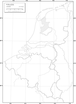
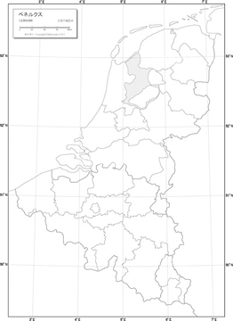
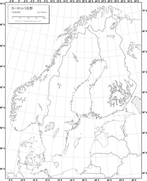
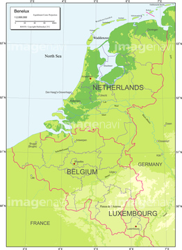
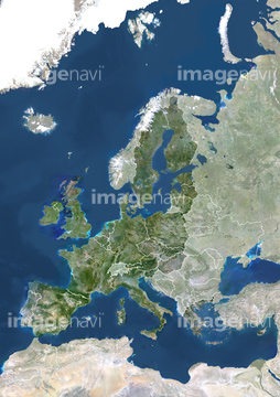
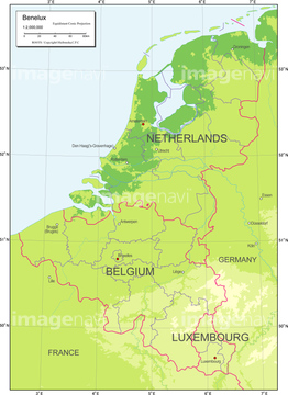
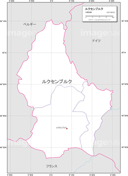
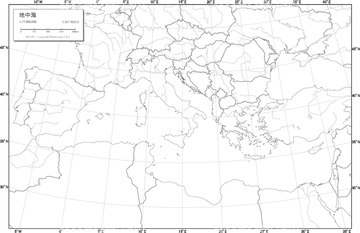
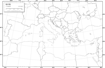
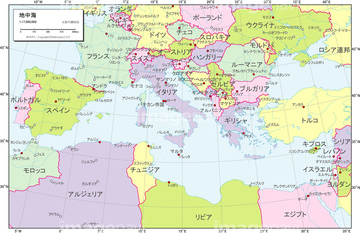
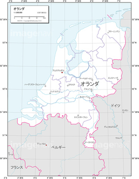
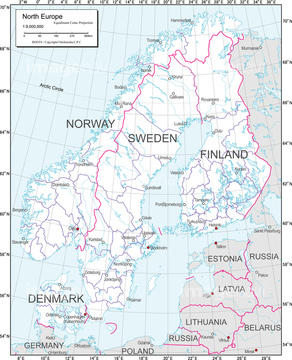
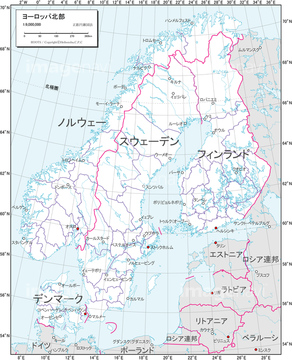
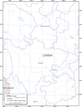
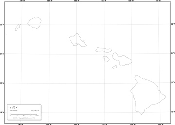
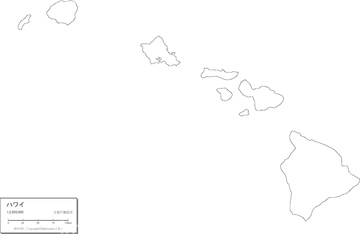
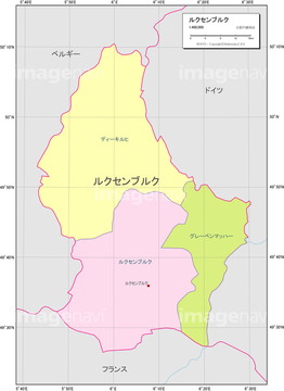
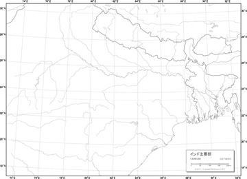
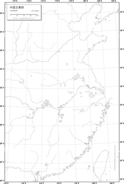
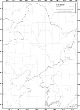
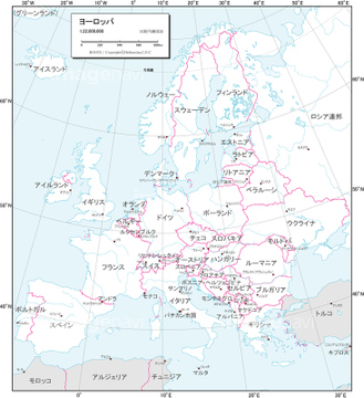
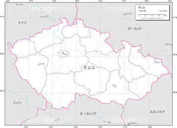
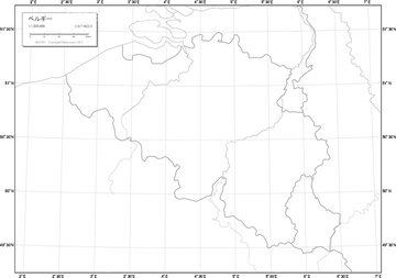
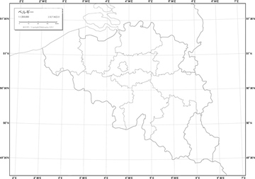
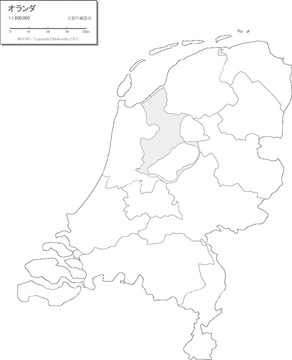
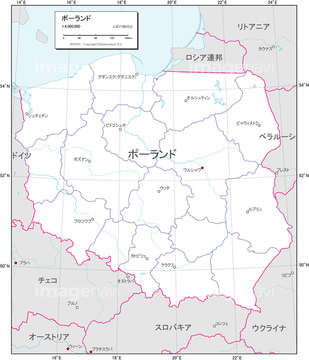
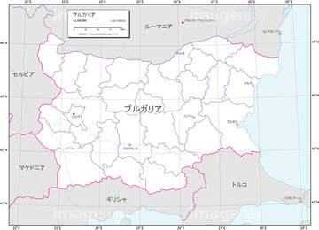
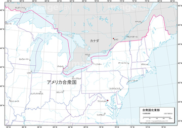
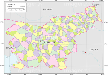
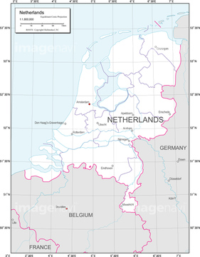
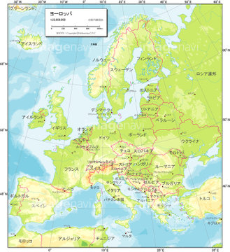
HOME > ژتگ^ > ’nگ}پE‰qگ¯ژتگ^ > گ¢ٹE‚ج’nگ} > ƒˆپ[ƒچƒbƒp
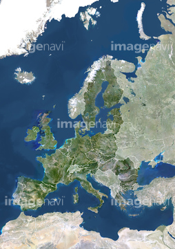
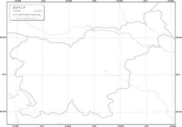
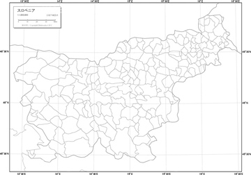
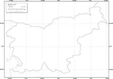
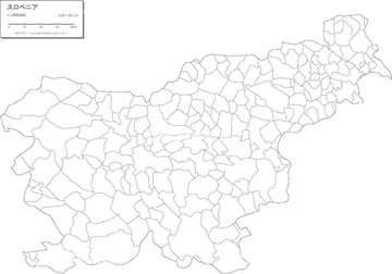
10,000Œڈ‚جژتگ^‘fچق‚ھŒںچُ‚³‚ê‚ـ‚µ‚½پB
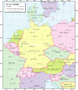
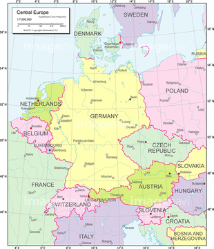
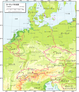
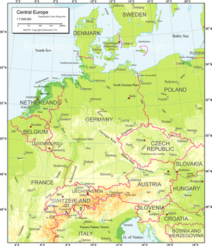
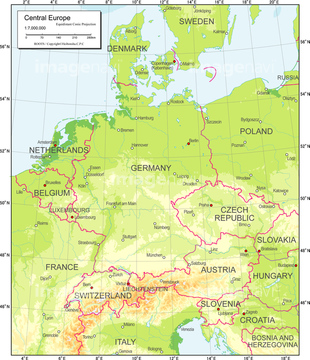
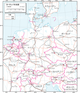
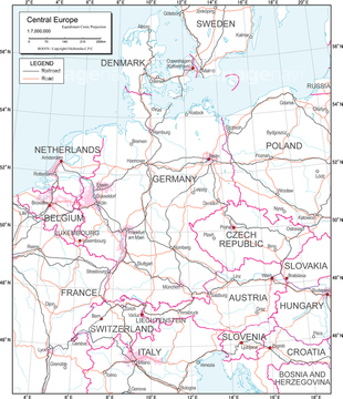
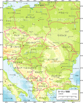
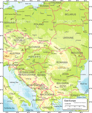
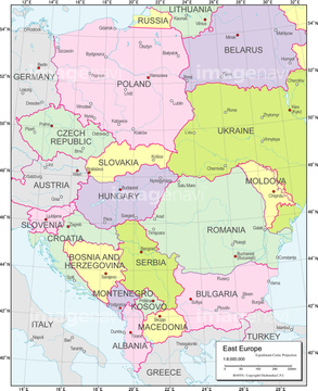
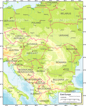
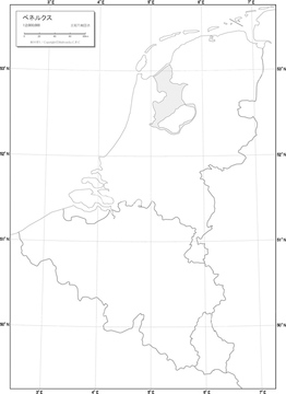
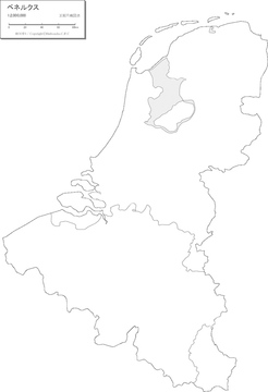
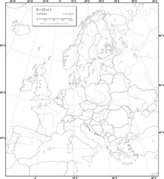
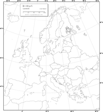
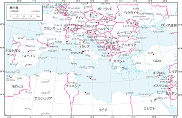
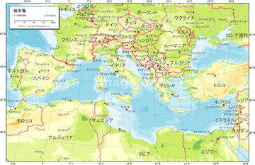
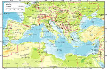
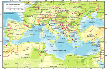
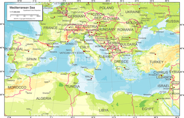
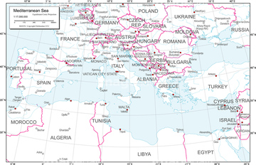
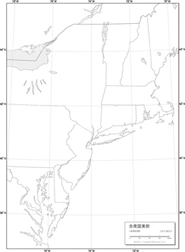
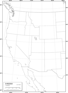
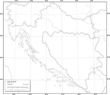
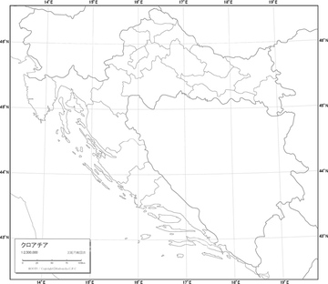
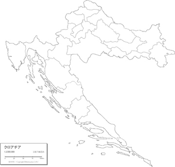
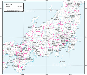
‚±‚جŒںچُŒ‹‰ت‚ة‚حپA’nˆوگ}_ƒˆپ[ƒچƒbƒp’†‰›•”_”’’nگ}پA’nˆوگ}_ƒˆپ[ƒچƒbƒp’†‰›•”_’nگ¨گ}پA’nˆوگ}_ƒˆپ[ƒچƒbƒp’†‰›•”_چsگ‹و•ھگ}پA’nˆوگ}_ƒˆپ[ƒچƒbƒp’†‰›•”_ژ©‘Rگ}پA’nˆوگ}_ƒˆپ[ƒچƒbƒp’†‰›•”_Œً’تگ}پA’nˆوگ}_ƒˆپ[ƒچƒbƒpگ¼•”_”’’nگ}‚ب‚ا‚ھٹـ‚ـ‚ê‚ؤ‚¢‚ـ‚·پB

19602044
19602030
19600558
19605015
19600280
19600822
19604213
19601088
19603948
19604741
19601649
19604474
19602036
19602050

19602035
19602041
19602049
19600563
19605020
19600285
19600827
19604218
19601094

19600286
19600828
19600279
19605016

19600281
19602031
19602045
19600559
19600823
19601089
19603949
19604214
19604742

19603954
19605021
19601093
19603953
19604746
19600564
19604219
19602029
19602039
19602043
19602052
19604747
19605014
19600821
19601655
19602034
19602040
19602048

19601087
19603947
51450243

19600557
19604740
19601654
19604479
19604212
19600250


19601650
19604475
19600426
19602032
19602046
19600283
19602033
19602047
19600825
19604480
19601972
19601985
19601987
19602065
19602075
19602080
19600445
19600415
19601934
19601945
19600240
19600257
19605022
19600287
19602037
19602051
19602053
19602028
19602038
19602042
19600429
19605019
19600284
19604985
19601092
19603952
19601648
19604473
51450244

19602528
19602565
19602600
19602637
19600561
19601091
19603951
19604744
19605018
19605163
19602055
19602057
19602060
19604216
19601931
19601960
19602063

19602078
19602089
19600439
19602017
19602026
19602027
19602062
19602066
19602074
19602076
19602077
19602081
19602547
19602582
19602619
19602656
19600958
19601924
19601932
19601936
19601941
19601943
19601947
19601953
19601961
19601964
19602013
19602018
19602022
19602870
19602892
19602914
19602936
19605024
19600289
19600440
19600241
19600247
19600258
19600302
19600282
19600438
19602517
19602555
19602590
19602627
19600277
19600434
19602546
19602581
19602618
19602655
19605182
19604975
19604983
19604987
19604992
19605008
19600248
19600252
19600273
19602531
19602566
19602603
19602640

19600005
19600441
19600437
19600442
19600414
19605152
19600294
19600975
19605166
19600560
| ژںƒyپ[ƒW |
