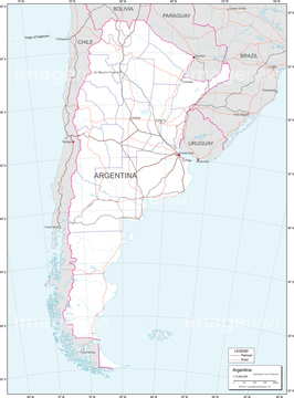
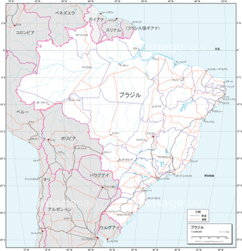
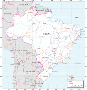
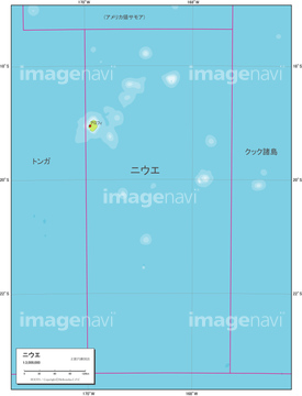
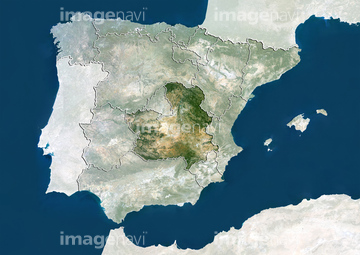
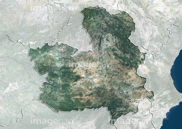
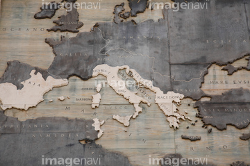
HOME > ژتگ^ > ’nگ}پE‰qگ¯ژتگ^ > گ¢ٹE‚ج’nگ} > ƒIƒZƒAƒjƒA
10,000Œڈ‚جژتگ^‘fچق‚ھŒںچُ‚³‚ê‚ـ‚µ‚½پB
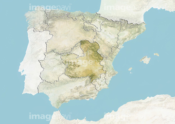
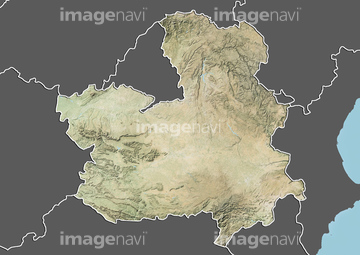
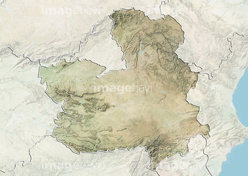
‚±‚جŒںچُŒ‹‰ت‚ة‚حپAچ‘•تگ}_ƒoƒ`ƒJƒ“_چsگ‹و•ھگ}پAچ‘•تگ}_ƒ‚ƒiƒR_چsگ‹و•ھگ}پAچ‘•تگ}_ƒjƒEƒG_”’’nگ}پAچ‘•تگ}_ƒCƒ^ƒٹƒA_Œً’تگ}پAچ‘•تگ}_’†‰طگl–¯‹¤کaچ‘_Œً’تگ}پAچ‘•تگ}_“ْ–{_Œً’تگ}‚ب‚ا‚ھٹـ‚ـ‚ê‚ؤ‚¢‚ـ‚·پB

19604346
19604345
19604352
19604353
19605094
19605095
19604610
19604611
19604505
19604506
19604514
19604515
19604540
19604541
19604555
19604556
19604581

19604582
19604653
19604654
19604663

19604664
19604668
19604669
19604508
19604509

19604544
19604545
19604603

19604604
19604605
19604606
19604670
19604671
19604673
19604674
19604817
19604818
19604024
19604025
19604636
19604637
63020006
41474453

29204777
41474454

29204701

29204764

29204765

29204768

29204803


70124540
70088302


10903455

10903460
32206738
32206739
32206740
32206742
32206745
32206746
32206747
32206748
32206749
32206750
32206751
32206752
10307337

10918545

10918546

10307301

10307351

10307357

10307362
19259954
19259955
19259956

19259957
19259958
19259959
51453351
51453352
19259945
19259949
19259960
19259962
19259963

19259964

10918549

10918551
19259970

10918565
10918574

10918575

10918585
19283225
70283506
41154505
41226036

41226040

41226041
41226049

41226050

41226052

41226056
41226059
41226064

41226070
41474749

41154545
70088310

51451218
64014717
32206753
70088311

10903458
10903461

10903464

19259951
19259952
19259953

10307322
10307329

10307354

10307355

10307358

10307359
70110865
70254835
70254837
19259946
19259947
19259961

10903456
10918542
10918553

10918620

10122909

10307320

10307331

10307332

10307334

10307335

10307344

10307345

10307348

10307349

10307361

12406251

10918136

10307315

10307323

10307356

10307360

10036519

54001367
| ژںƒyپ[ƒW |
