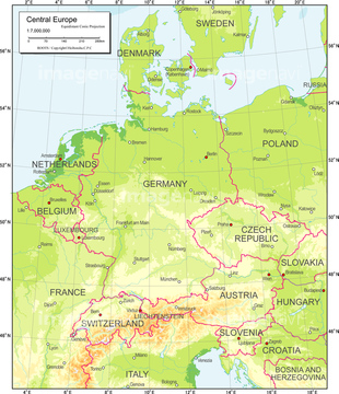
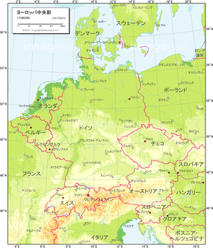
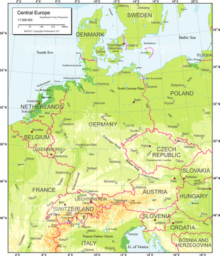
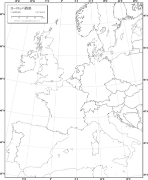
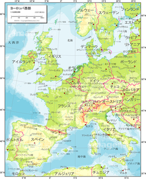
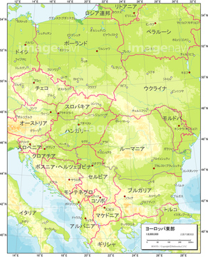
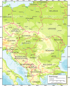
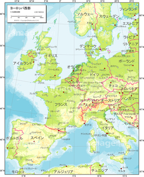
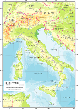
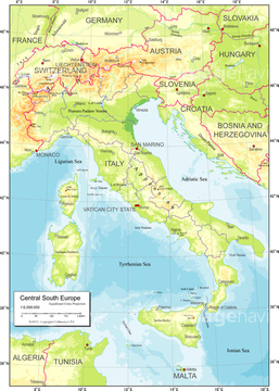
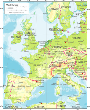
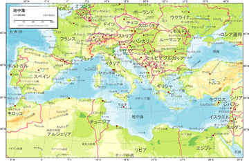
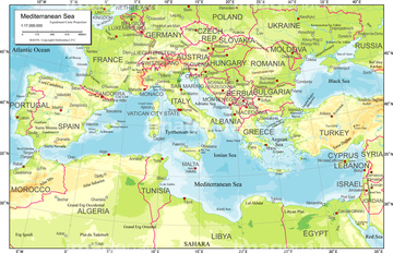
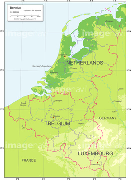
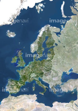
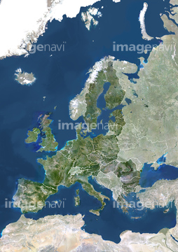
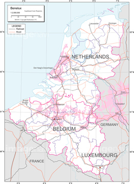
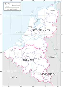
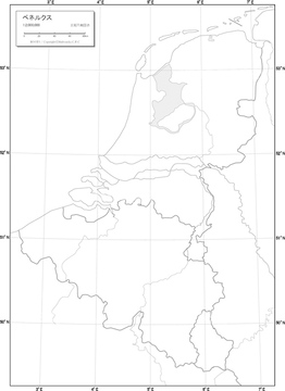
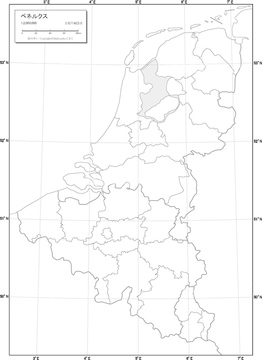
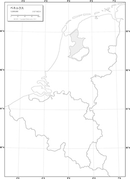
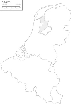
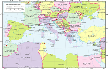
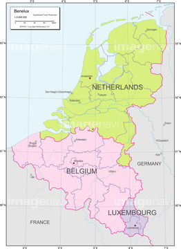
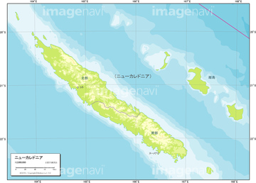
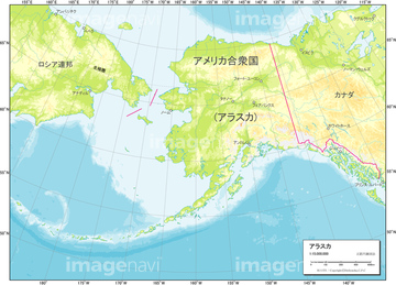
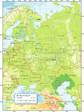
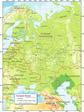
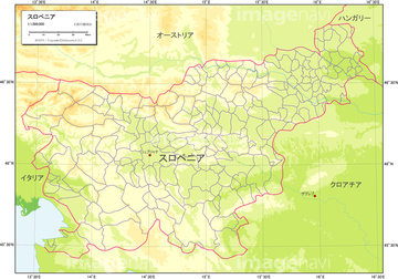
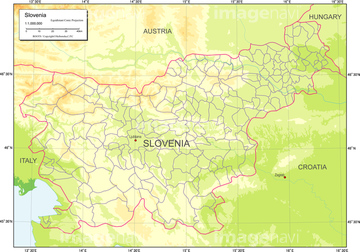
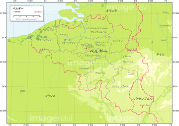
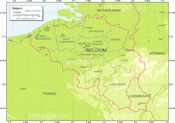
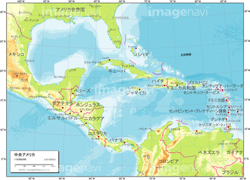
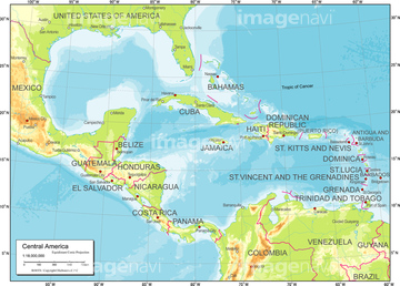
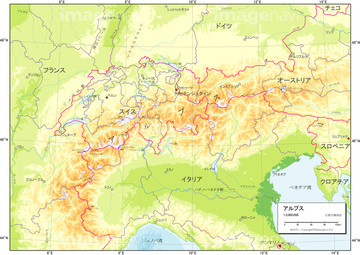
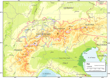
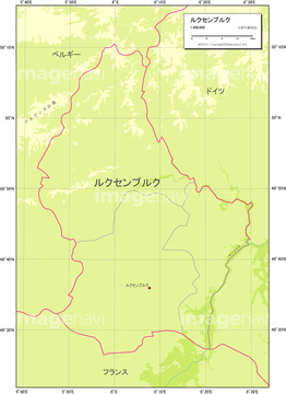
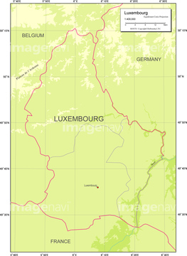
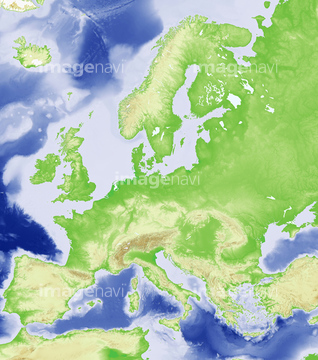
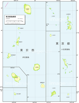
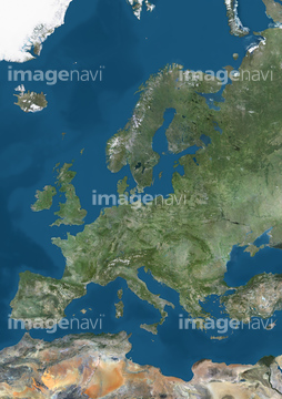
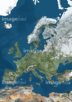
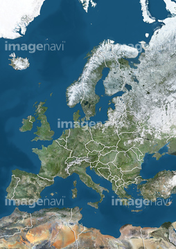
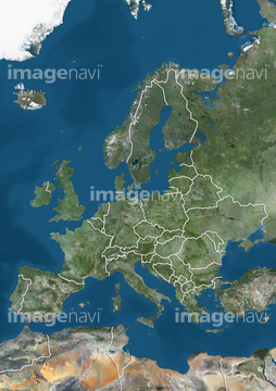
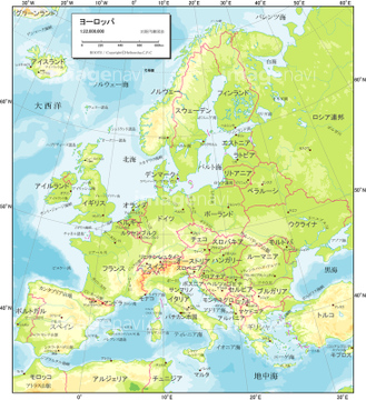
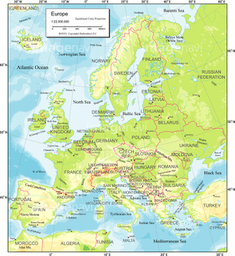
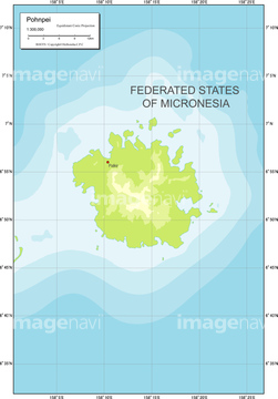
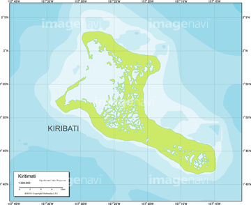
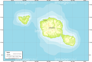
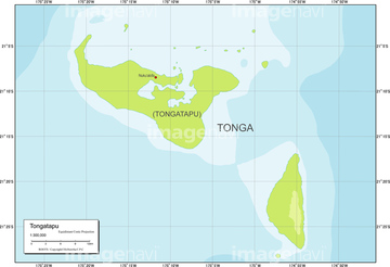
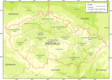
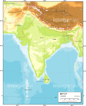
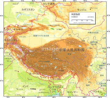
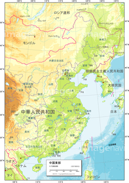
HOME > ژتگ^ > ’nگ}پE‰qگ¯ژتگ^ > گ¢ٹE‚ج’nگ} > ƒˆپ[ƒچƒbƒp
10,000Œڈ‚جژتگ^‘fچق‚ھŒںچُ‚³‚ê‚ـ‚µ‚½پB
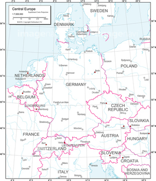
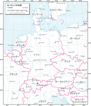
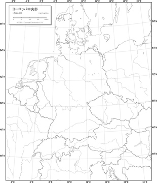
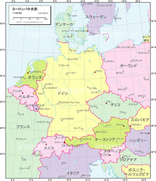
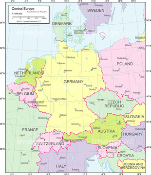
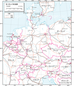
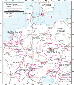
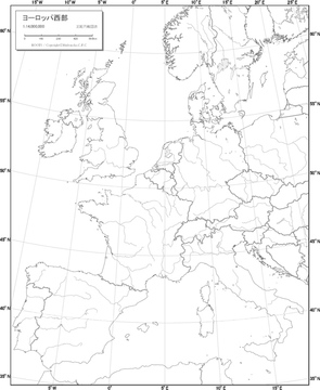
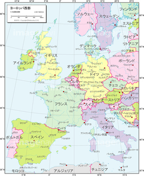
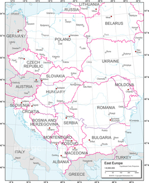
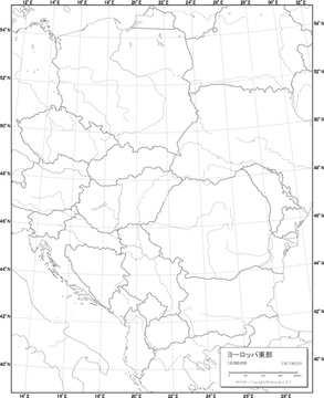
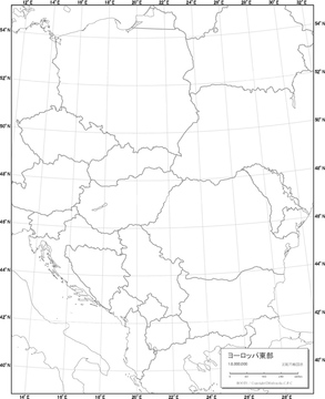
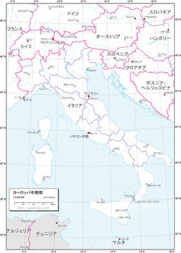
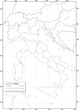
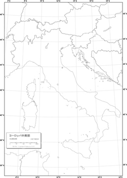
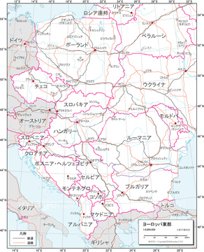
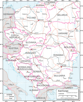
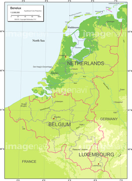
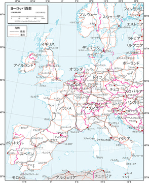
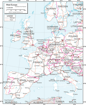
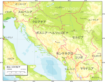
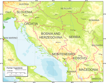
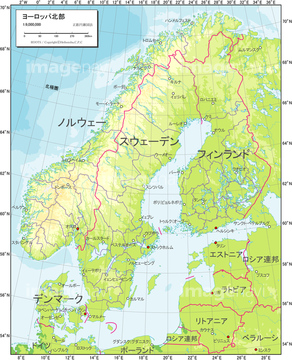
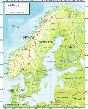
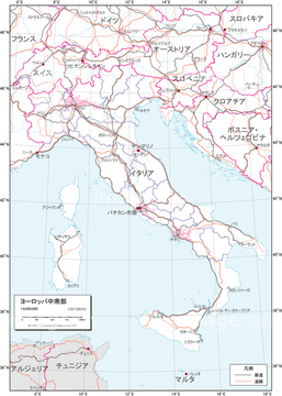
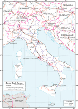
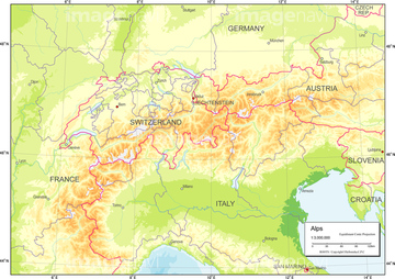
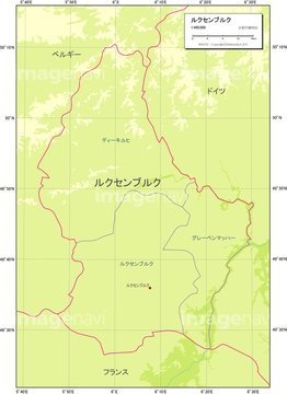
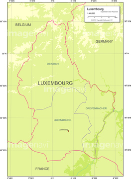
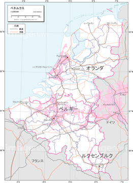
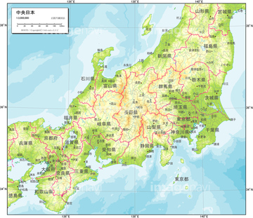
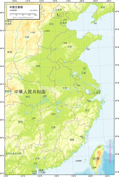
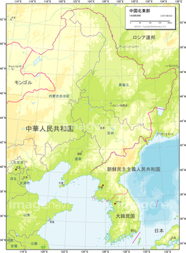
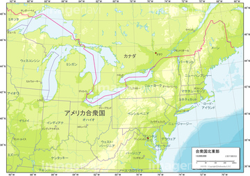
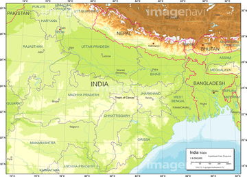
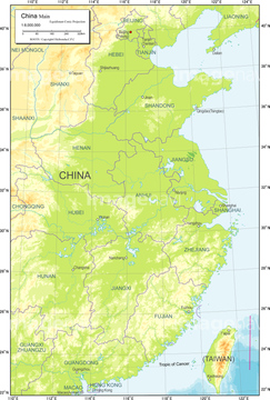
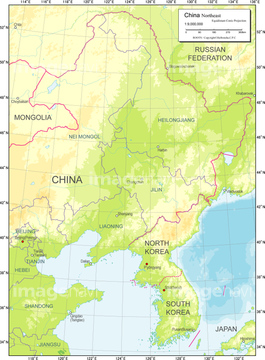
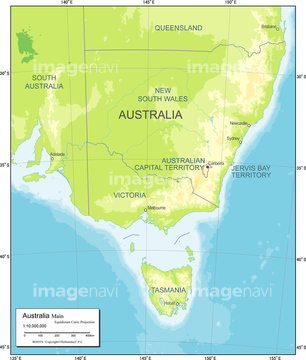
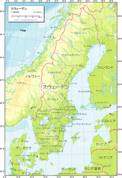
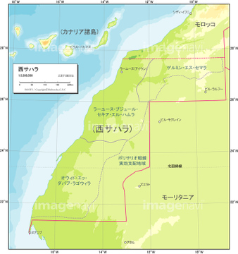
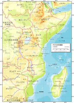
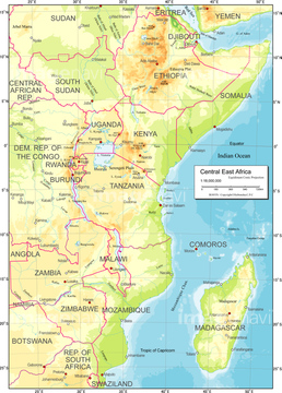
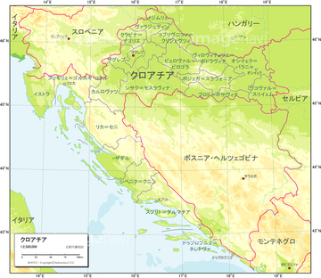
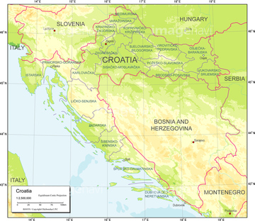
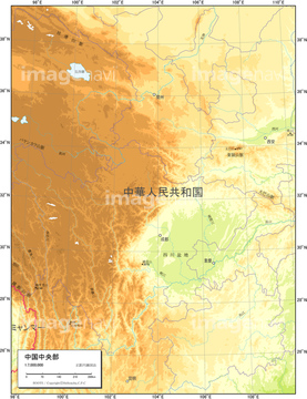
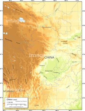
‚±‚جŒںچُŒ‹‰ت‚ة‚حپA’nˆوگ}_ƒˆپ[ƒچƒbƒp’†‰›•”_’nگ¨گ}پA’nˆوگ}_ƒˆپ[ƒچƒbƒp’†‰›•”_ژ©‘Rگ}پA’nˆوگ}_ƒˆپ[ƒچƒbƒp’†‰›•”_”’’nگ}پA’nˆوگ}_ƒˆپ[ƒچƒbƒp’†‰›•”_چsگ‹و•ھگ}پA’nˆوگ}_ƒˆپ[ƒچƒbƒp’†‰›•”_Œً’تگ}پA’nˆوگ}_ƒˆپ[ƒچƒbƒpگ¼•”_”’’nگ}‚ب‚ا‚ھٹـ‚ـ‚ê‚ؤ‚¢‚ـ‚·پB
19604741
19600558
19601088
19603948
19605015
19600280
19602030

19602044
19600822
19604213
19601649
19604474
19602036
19602050
19601094
19600559
19604742

19603954
19601089
19603949
19600563
19604746
19600564
19601093
19603953
19604747

19600286
19600828
19605016

19600281
19602031
19602045
19600823
19604214
19605021
19605020
19600285

19602035
19602041
19602049
19604219
19600827
19604218
19600561
19604744
19601091
19603951

19600557
19604740
51450243
19601650
19604475


19601087
19603947
19601655
19604480
19600565
19604748
19600562
19604745
19603456


19601654
19604479
51450244
19600279
19600283
19600821
19602033
19602047
19600825
19600560
19601095
19603955
19600518
19600535
19601092
19603952
19600528

19604711
19600556
19604739
19600699
19604884
19601648
19604473
19604743
19605014
19602029
19602039
19602043
19602052
19605018
19604216
19604212
19600536
19600580
19600567
19604750
19600717
19604902
19600079
19600526
19600530

19600551
19600572
19604701
19604709
19604713
19604718
19604734
19604755
19600549
19604732
19600706
19600555
19601079
19603939
19600689
19604874
19600575
19604758
19600716
19604901
19601058
19603918
19600701
19604886
19601105
19603965

19603454

19601086
19603946
19601229
19604091
19603455
19600711
19604896
19603794
19600114
53112516
53112517
19601090
19603950
19600517
19600519
19600524
19600533
19600540
19600541
19600542
19600544
19600545
19600546

19600547

19600570
19600576
19604700
19604702
19604707
19604716
19604719
19604723
19604724
19604725
19604727
19604728
19604729
19604730
19604753

19604759
19604763
19603760
19600712
19604897
19600525
19600574
19604708
19604757
19600082
19600146
19601097
19603957
19600710
19604895
19600521
19600527
19600529
19600531
19600532
19600534
19600539
19600543
| ژںƒyپ[ƒW |
