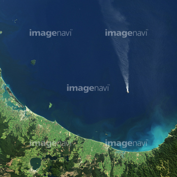
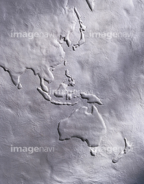
HOME > ژتگ^ > ’nگ}پE‰qگ¯ژتگ^ > گ¢ٹE‚ج’nگ} > ƒIƒZƒAƒjƒA
10,000Œڈ‚جژتگ^‘fچق‚ھŒںچُ‚³‚ê‚ـ‚µ‚½پB
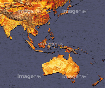
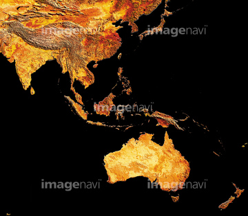
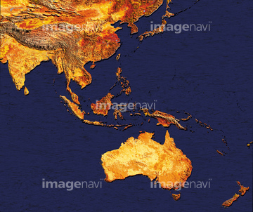
‚±‚جŒںچُŒ‹‰ت‚ة‚حپAچ‘•تگ}_ƒjƒEƒG_’nگ¨گ}پAچ‘•تگ}_ƒjƒEƒG_ژ©‘Rگ}پAچ‘•تگ}_ƒjƒEƒG_”’’nگ}پAچ‘•تگ}_ƒIپ[ƒXƒgƒ‰ƒٹƒA_Œً’تگ}پAچ‘•تگ}_ƒCƒ“ƒh_Œً’تگ}پAچ‘•تگ}_ƒAƒ‹ƒWƒFƒٹƒA_Œً’تگ}‚ب‚ا‚ھٹـ‚ـ‚ê‚ؤ‚¢‚ـ‚·پB
19604817
19604818
19604024
19604025
19605094
19605095
19604540
19604541
19604508
19604509

19604544
19604545
19604603

19604604
19604605
19604606
19604610
19604611
19604670
19604671
19604352
19604353
19604505
19604506
19604514
19604515
19604555
19604556
19604581
19604582
19604663
19604668
19604669
19604664
19604345

19604346
19604673
19604674
19604653
19604654
19604636
19604637

41154558
99074180
63020006

41226038

41226039

41473933
64014737
64014731

64063904

41154543
64014735

10903458
10903461

10903464

10903456
10918542
10918553

10918620

10122909

10307361
51451516
41226258
41226262
41226332
41226336

41226270
41226344

41473934
41226257
41226266
41226331
41226340

10918538

10918543

10918544

10918549
10918552

10918557

10918601
41154554

41154564

41226045
41226047

41226057

41226065

41226069
64016069

64014726
64014729
64014730
64014732

29204802

29204804
41226261
41226335

41154562

41154569

41154579

10918619

10918577

41226037

64016162
64015062
64016065

10307341

10307350

10307352

10307353
70254836
10903460
10918545

10918546

10307301

10307320

10307331

10307332

10307334

10307335

10307344

10307345

10307348

10307349

10307351

10307357

10307362
30036053
41481325

30076667

40860452

41473932

41226254
41226255

41226256
41226264

41226265
41226267
41226269

41226328
41226329

41226330
41226338

41226339
41226341
41226343


41226189
41226190
41226191
41226192
41226193

41226194

41226195
41226196

41226231

41226246

41226305

41226320

41154548
| ژںƒyپ[ƒW |
