HOME > 写真 > 地図・衛星写真 > 衛星写真 > 典型地形
10,000件の写真素材が検索されました。
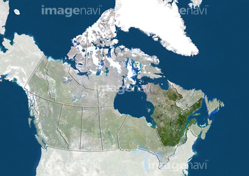
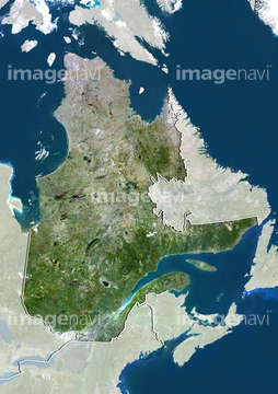
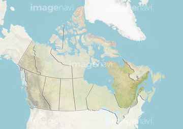
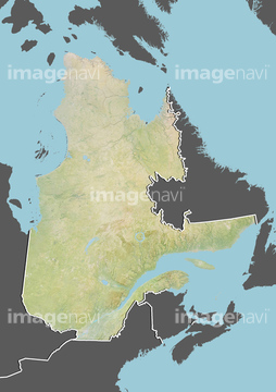
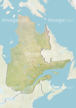
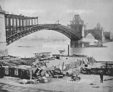
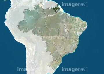
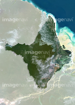
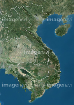
この検索結果には、蒸気船、South Sudan, True Colour Satellite Image With Bord…、MISSISSIPPI: VICKSBURG.、MISSISSIPPI RIVER.、Canada and the Province of Quebec, True Colour Sat…、Province of Quebec, Canada, True Colour Satellite …などが含まれています。
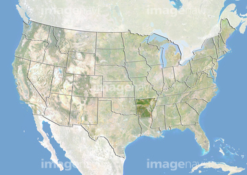


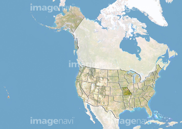


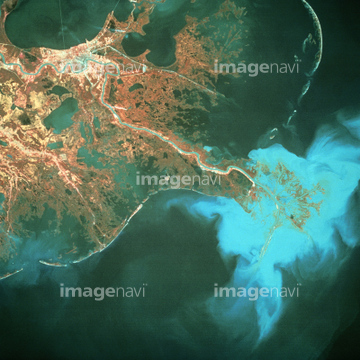
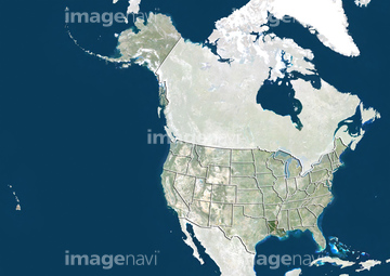
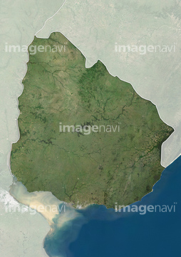
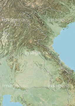
30029250
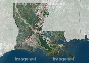

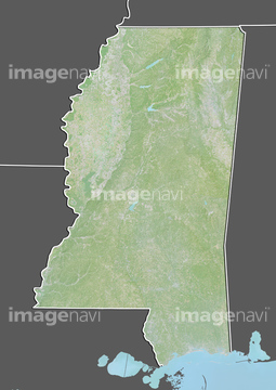

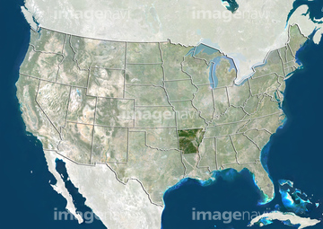
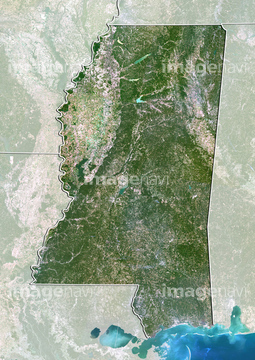
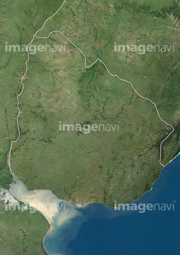
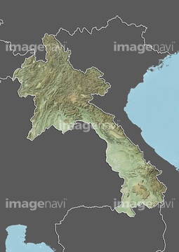
51971795
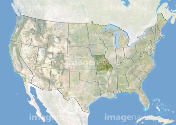
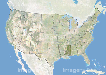
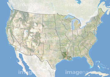
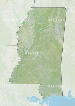
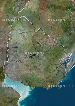
19285723
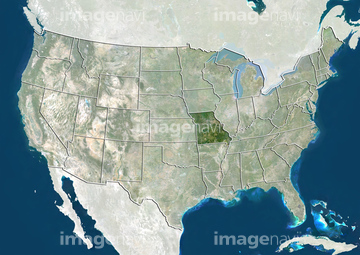
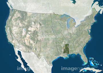
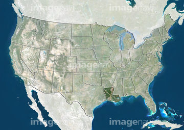
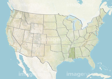
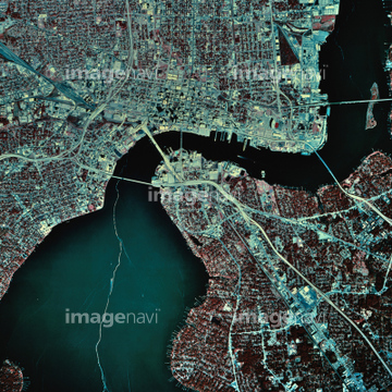
51994666
51944994
64073391

64074420

64059353
51934132
51995023
51949296

53112615
53112616
64016053
64112706
64112707
51451178
40079878
51994640
51994641
51983222
64086755
51912889
99046023
64015047
64100572
64081931
64081933
64081955


64177187
64115499
30337059
30304423
52223399
51982001
51982779
51983221
51983692
64028163
64259530
99046002
51939577
51939578
30052668
30052669
30052688
51939623
64016912
64045942

64074422
51451452


| 次ページ |
