HOME > 写真 > 科学・テクノロジー > 科学
10,000件の写真素材が検索されました。
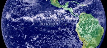
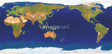
この検索結果には、ランドサット日本列島、ランドサット世界地図、World weather, satellite image、World map, satellite image、Africa, night-day satellite image、Australia, night-day satellite imageなどが含まれています。


17200250
64146827
64146829

70571190

64146823
64146824
64146825
64146828

64146819

17200234

17200249
17200251


17200253


17200255

17200257


64041384
64008713
70571191
17201589
64188079
64188112
64188116
64024733

64053686

64074902


64163101

64041383

64041390

17200256

17200258


64243651
70571192

64014670

64146820

64106828
51988201

64116457

64116458

64074792
64040019

64074794

64074795
64011202
64011205
64011210

64059203

64106823
64146826

64023338
64023339

64057572
64025791
64170107

64011200

64011203

64011211

64011230
64146830

64014155

64014193

64014196

64074793
64059213

64091526
64064283
64064284
64053731
64053738
64053739

64075837
64024672
64024724
64083199

64088667

20993033
64040026
64011218

64105661

64014831

64067342

64067344

64075072

64075073

64023450
64104223

64040011

64040012

64040015

64040016

64053256

64053257

64053258

64053259

64053260

64053368

64053369

64053371

64053372

64053385

64053561

64024244

64210700
64052716
64023461

64252300
64252301


64011207
64173035
64014752
64024671
64258105
64258106
64167304
64059199
64059200
64059201
64059204
64059205
64059206
64059207
64059208
64059209
64059210
64059211
64059212
64050204
64025829
| 次ページ |
