HOME > 写真 > 自然・風景 > 気象・天気 > 嵐
10,000件の写真素材が検索されました。
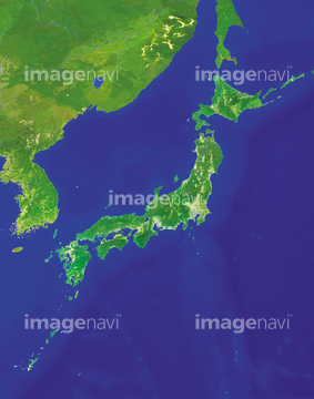
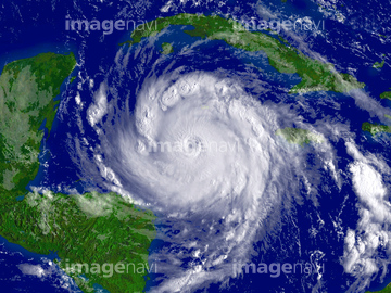
この検索結果には、ランドサット日本列島、ランドサット世界地図、Tornado、Atlantic atmospheric water vapour、Landspout tornado、Large tornadoなどが含まれています。

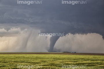
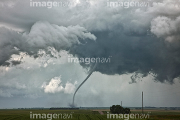
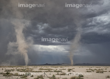
64014971
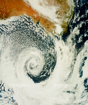
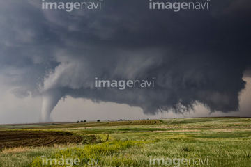
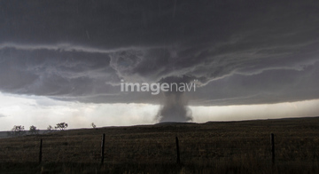
64146823
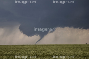
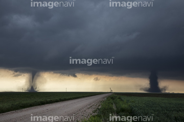
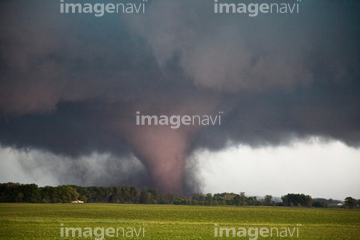
64146824
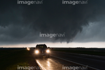
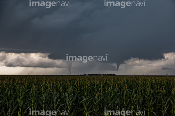
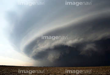
64146825
64146827
64146828
64146829
64243651

64008713

70571190
70571191
70571192

64037524
64037525
64037523

64037520
64037526
64190450
64190451
21547067
64037519
64011357
64011358
64011359
64011360
64011361

64014975

64088667

64014954
64014955
64014956

64106823
64011351
64011352
64011353
64011354
64011356
64140698
64014770
64037521
64037522
64140696
64140697
64170965
64170967
64170970
64170972

64170973
64197522
64011362
21540775
21540778
30024420

64169046

64169059
64011540
64090631
64090642
64090643

64146819
64146826
64072159
64026179
64026180
70571204
64014948
21540810
64140699
17266327
64140695
64183475
64140700
17200276
21540807
64054788
64054789
64054790
64054791
64170966
64197523
64197526

64140771
64054792
64037569
64037570
64037571
64074832
64011516
64170107
64025791
21540772
21540770
64100936
30922408
30922409

64105661

64163101

64065656


64220114
70289867

64060621

64014155

64014193

64014740

64014831
64016858

64016860

64016861

64016862

64016863

64016884
64016965
64067340

64067342

64067344

64074902

64075072

64075073
70571193
70571194
70571195
70571196
70571197
70571198
| 次ページ |
