HOME > ژتگ^ > ڈو‚蕨پEŒً’ت > Œً’تƒCƒپپ[ƒW > ’nگ}
10,000Œڈ‚جژتگ^‘fچق‚ھŒںچُ‚³‚ê‚ـ‚µ‚½پB
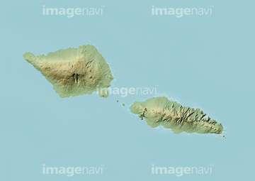
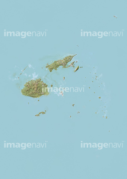
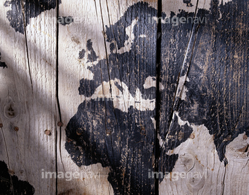
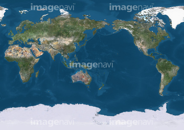
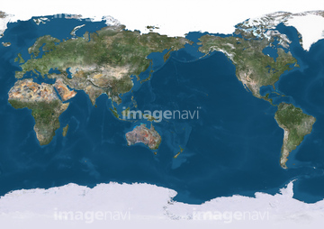
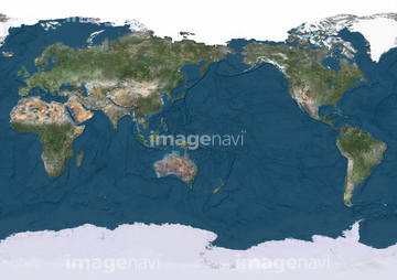
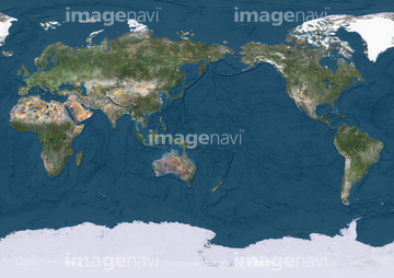
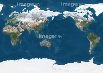
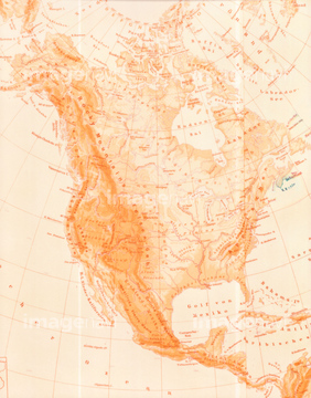
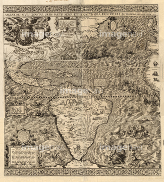
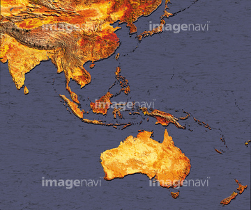
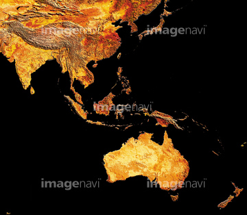
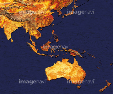
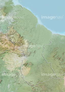
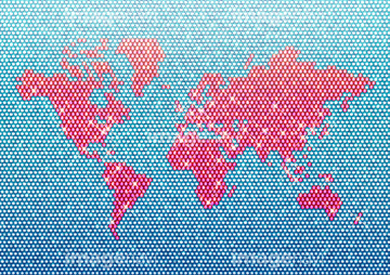
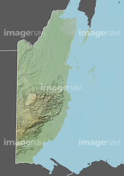
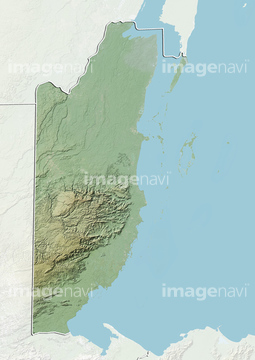
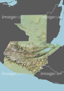
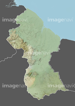
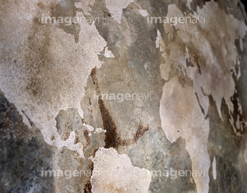
‚±‚جŒںچُŒ‹‰ت‚ة‚حپAŒأ’nگ}پAMap of the world, 17th centuryپAElectronic world mapپAThe 'Kitab Rudjdjar' or 'Tabula Rogeriana'پAگ¢ٹE’nگ}پAWorld Map on Wall with Streaked Sunlight‚ب‚ا‚ھٹـ‚ـ‚ê‚ؤ‚¢‚ـ‚·پB
30014858
30014856
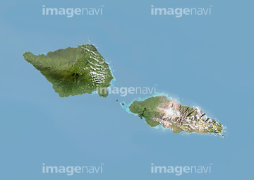
64239607
30036704
10903456
30014855
30036448
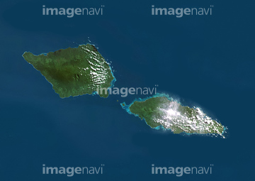
64014735

10307322
17200242

51424033
30036720
52210909
17274337
51451335
51451399
51451015
30036073
19940273
10903461

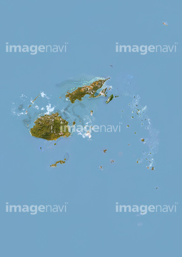
64149791
10918136
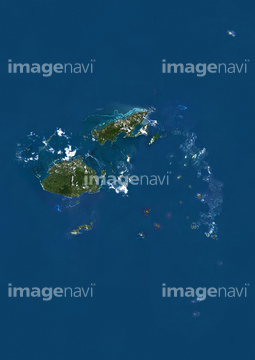
63020006
51451395
51451057
70201730

64014726
64014729
64014730
64014732
51451074
51452700
51450771
51450955
51451060
30367722
51452172
51450922
51452899
51452905
51452907
51452925
51452927
51452931

51452947


30036703
30013599
30036702
30036074
51451287
51451401
51451017
10112052

30036057
30035869
30036093
10112053
52215736
| ژںƒyپ[ƒW |
