HOME > 写真 > イラスト・CG > テーマ > 水彩画
10,000件の写真素材が検索されました。
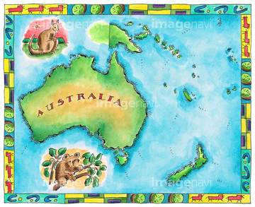
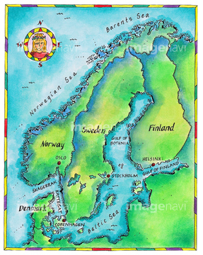
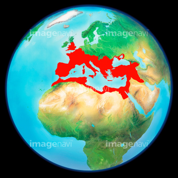
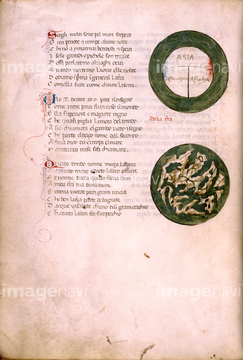
この検索結果には、王冠、長野、Roman Empire, artwork、Map of american west coast、Map of Transoxania, Asia、Map of the Garden of Edenなどが含まれています。
30038124
30038090
30038092
30038105
30038102
30038093
30038106
30038108
30038076
30038097
30038082
30038111
30038072
30038073
30038075
30038103

30038116
30038117
30038118

30038114
30038120
30038083
30038077
30038089
30038079
30038070
30038110
30038115
30038122
30038081
30038104
30038071
30038074
30038095
30038086
30038078
30038084
30038085
64083437
30038123
30038113
30038112
64062251
64062252
30038109

40662771

40548581
30038119
30038098
41043106
64048837
30038080
64089074
64047144
64084135
64056495

19051140
19051184

19051260
29617947
31195560
31195561
31195562
14402977
14403865
16002298
19282809
64089032
10112047
10122755
10122961

19068309
31347805
31710700
64251201
40897068
40897069
29609702
19283101
29667538

29667714
29667764
41043101
41043102
41043103
41043104
41043105
41043107
41043108
41043110
41043112
41043113
41043114
41043116
41043124
41043125
40301620
40301621
40301622
40301623
40301624
40301625
40301626
40301643
40301644
40301645
40301646
40301647
40301648
40301649
40301659
40301660
40301661
40301662
40301663
40301664
40301665
40301666
40819574
40819580
40819584
40819587
40819588
40819591
40819599
40819602
40819607
40819615
40819719
41096126
41096127

41201469

41210168

41210169

41210170

41210172
30038094

40629061

40629089

30047312
29611365
10112051
30038099
64089082
64107450
64107451
64107452
64107453
64107454
10112048
10112049
10112050

10112054
11855599

11855600

11855601
11855606
11855607
70254835
70254836
70254837
64043174
64045830
64044503
64050948
64050949
64050950
64053050
64042641
10044424
10044426

30038127
19003539
64089035
64089037
16907763
16907764
16907765
16907766
16907767
16907768
16907769
16907770
16907771
| 次ページ |
