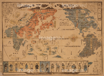
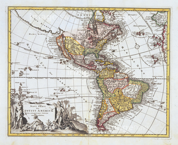
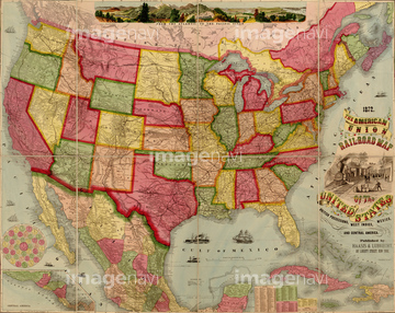
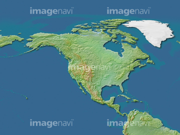
HOME > ژتگ^ > ڈو‚蕨پEŒً’ت > Œً’تƒCƒپپ[ƒW > ’nگ}
10,000Œڈ‚جژتگ^‘fچق‚ھŒںچُ‚³‚ê‚ـ‚µ‚½پB
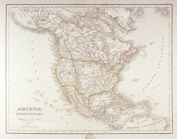
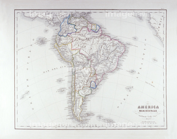
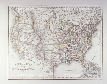
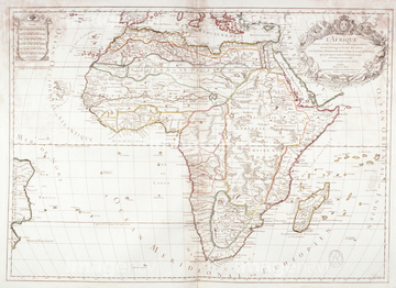
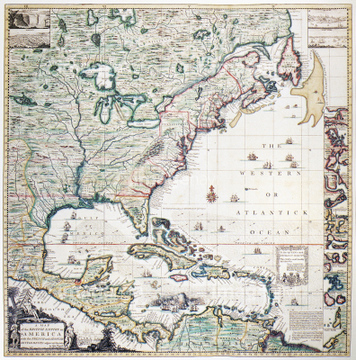
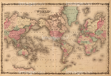
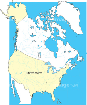
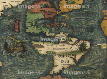
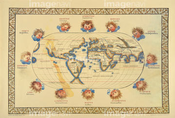
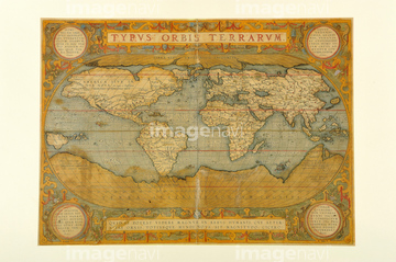
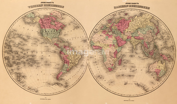
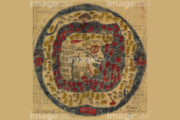
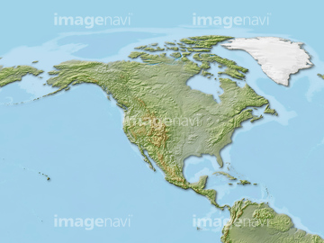
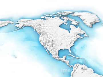
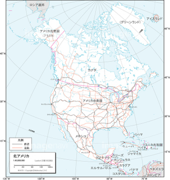
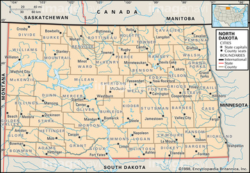
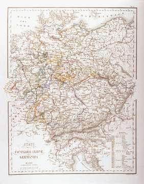
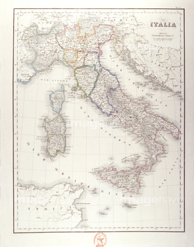
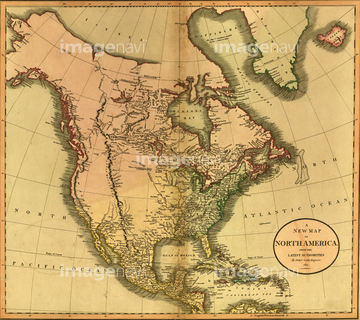
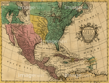
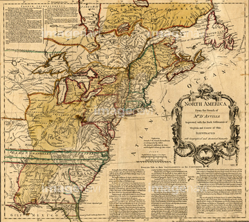
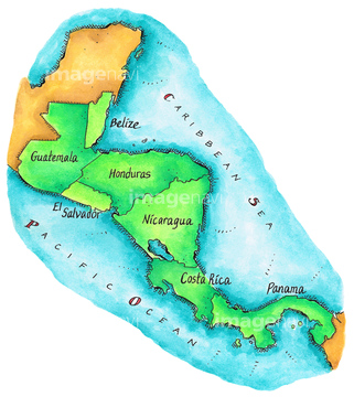
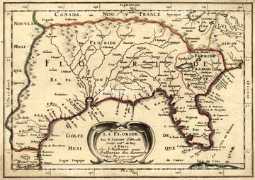
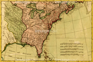
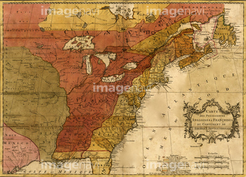
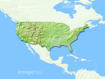
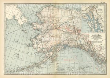
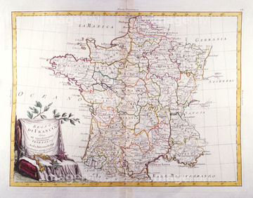
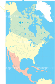
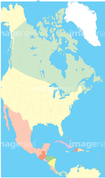
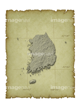
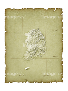
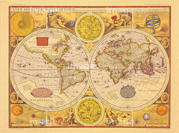
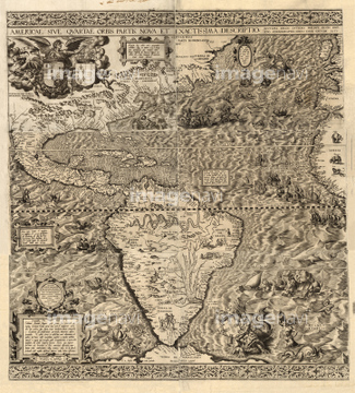
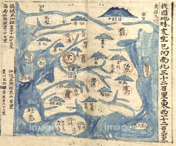
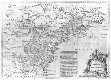
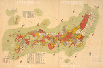
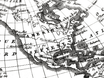
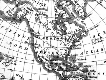
‚±‚جŒںچُŒ‹‰ت‚ة‚حپAŒأ’nگ}پA–kƒAƒپƒٹƒJ‘ه—¤پAƒCƒ^ƒٹƒA’nگ}پAŒأ’nگ}ƒCƒپپ[ƒWپAƒJƒiƒ_’nگ}پAگ¢ٹE’nگ}Œأ’nگ}•—‚ب‚ا‚ھٹـ‚ـ‚ê‚ؤ‚¢‚ـ‚·پB
30047325
30047326

64055083
30047328

10307322

64052655
30047318

30047320
30047322

30047323
70125588
14301098
14301099

64052692


10307361

10307362

10903456

64055080

70102713
30039259
30038092


64055079

64055075

10307320

10307332

10307334

10307348

30014856
14301169
14301170
14301074
14301075
14301076
14301077
30047317
30047338
51417255
51417253
30047335

10307321
10307327

10307341

10307346

10307347

10307350

10307352
14301153

14301154
14301397
14301398
51909164

10307354

10307355
51430885
16907789
16907790
16907903
51436689
70102711
70102712

70125589
51436080
51436011
51430888

51430892

51430900
51430902
51430884
14301228
14301229
51430889

64052695

64055082

64055073

64055081

30014858
19283282

10307301

10307351

10307357

14301089
14301090

14301091

14301092
14301093

14301094
14301095

14301096

14301097

64052698
14301131
14301132
51436034
51436036
19604487
19601662
51439584
30047331
30047334
14301142
14301143
51435999
51436000
51436004
51436005
51436008
30038090
16907782
16907783
16907915

16907874
51436691

14301109
14301110
51436003


10307333

10307336

10307343

10307353

64055077

10307338

51421896

14301375

14301376

14301377

14301378

14301379

14301380

14301381

14301382

14301383

14301384

14301385

14301386

14301387

14301388

14301389

14301390
14301391

14301392

14301393

14301394

14301395

14301396

64055078
51417250


16907873
14301304
14301305
16907902

51430906
30100596

14301087

14301088

51909153
64082719
51417211
14301322
14301323
51436631
14301148
16907909

64055074
70125587

51435514
51435515
51908167
51417325
51430883
51435696

64052691

30038082


70097066

41421602
41421603
41421623
| ژںƒyپ[ƒW |
