HOME > ژتگ^ > ڈو‚蕨پEŒً’ت > Œً’تƒCƒپپ[ƒW > ’nگ}
10,000Œڈ‚جژتگ^‘fچق‚ھŒںچُ‚³‚ê‚ـ‚µ‚½پB
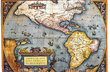
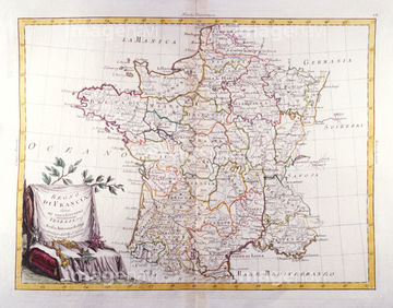
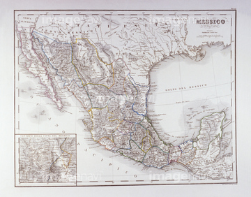
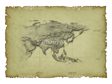
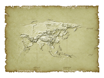
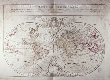
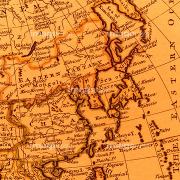
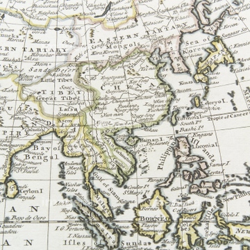
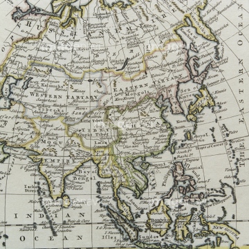
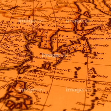
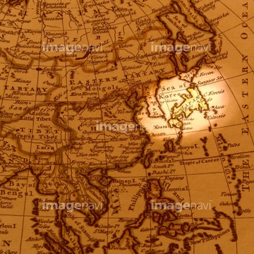
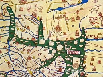
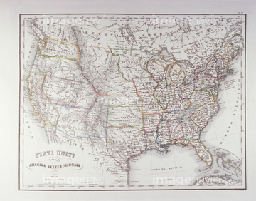
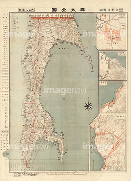
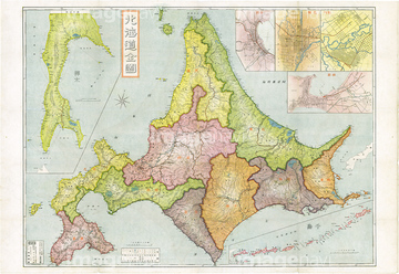
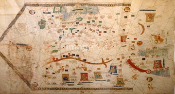
‚±‚جŒںچُŒ‹‰ت‚ة‚حپAŒأ’nگ}پAƒCƒ^ƒٹƒA’nگ}پA’nگ}ƒCƒپپ[ƒWپAƒ†پ[ƒ‰ƒVƒA‘ه—¤ƒAƒWƒAپAThe Hereford Mappa Mundi of 1280.پAEmpires Of Japan, China & Korea 1655‚ب‚ا‚ھٹـ‚ـ‚ê‚ؤ‚¢‚ـ‚·پB
30047335
30047338
30047321
30047326
30047319
30047337
30047322

64052692
30047318

30047320

30047323

64055073

64055081
30047336
70125588
30047331
30047334

64052655

30047325
30047317

70102713
30036753
30036746


19286467

64055075
14301109
14301110
30047316
10307302
10307305
10307307
10307309
10307312
10307313
10307314

30036748
30047311
30036737

30036740
30036743
30036745
70102711
70102712

70125589
51493137

10307301

10307351

10307357

51435558

64052695
30047328


64055074

64055079

64055083

10307308
11830077

64052691

64052702
11830057
11830001
11830007
11830010
11830011
11830015
11830017
11830019
11830023
11830024
11830037
11830039
11830040
11830041
11830045
11830054
11830078
11830082
11830086
11830088
11830014
11830030
11830087
70097066
70097072
70097073
70097075
70097076
70097077
11830083

10122909

10307331

10307344

10307345

10307349

10307362
14301185
14301186
51414337

51414338

51414339

51414340

51414343

51414344

51414347

51414348

51414349

51414350

51414351

51414353

51414354

51414355

51414356

51414357

51414358

51414359

51414360

51414361

51414421

51414422

51414423

51414424

51414425

51414426

51414427

51414428

51414429

51414430

51414431

51414432

51414433

51414434

51414435

51414436

51414437

51414438

51414439

51414440

51414441

51414442

51423095

64055082
70125587

30036744

10307358

10307359
51435529

64055077

64055078
19283281

51435514
51435515
11830002
11830003
11830004
11830005
11830006
11830008
11830009
11830018
11830022
11830025
11830026
11830027
11830029
11830031
11830032
11830033
11830043
11830044
11830048
11830049
11830079

11830080
11830081
11830084
11830085
11830089
70097071
70097074
70097079

70097080
51919954
51904109
53121115
70097078
51493136
51410016
51904056

51405927

51405928

51405929


51405937
| ژںƒyپ[ƒW |
