HOME > 写真 > 自然・風景 > 森林 > ジャングル
10,000件の写真素材が検索されました。
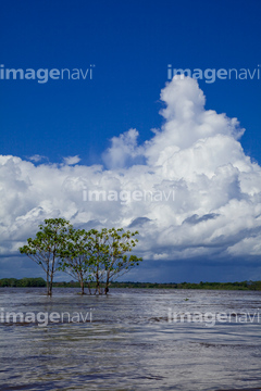
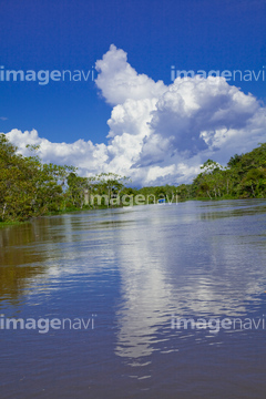
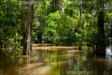
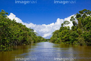
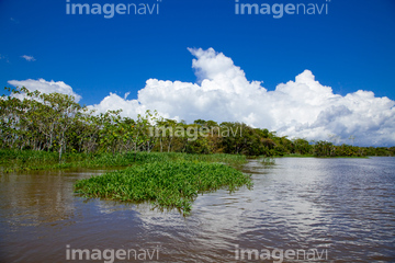
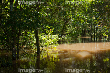
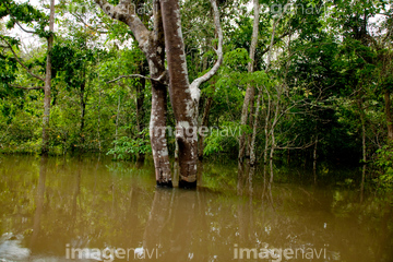
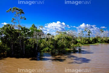
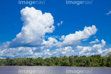
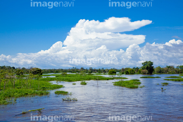
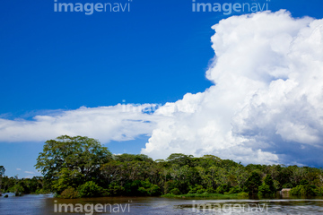
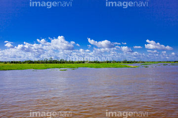
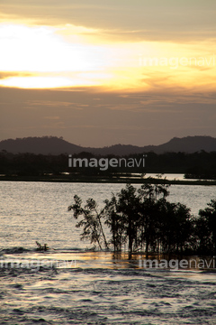
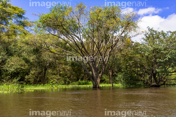
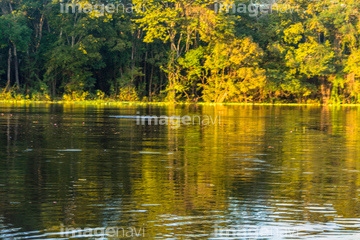
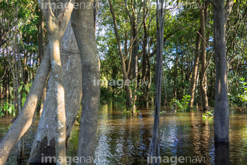
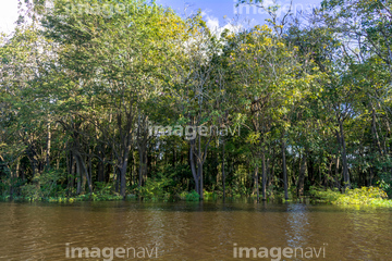
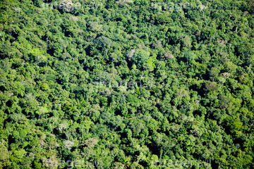
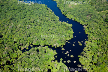
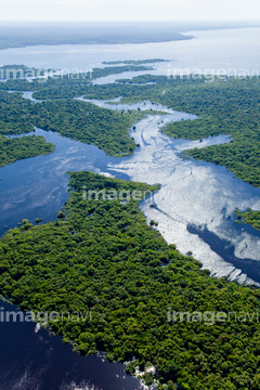
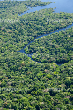
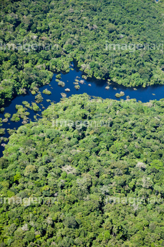
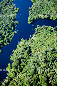
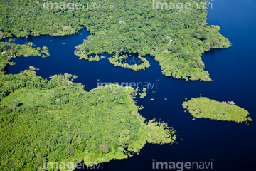
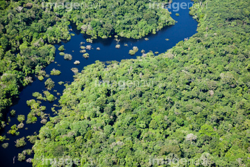
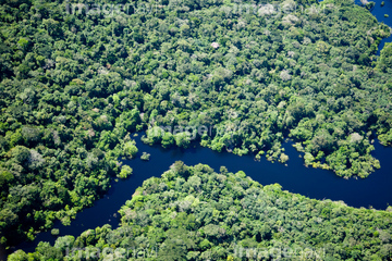
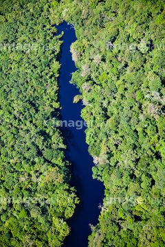
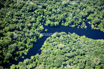
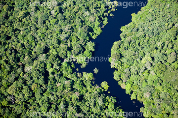
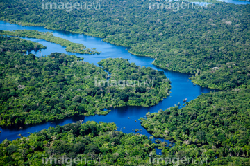
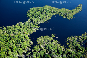
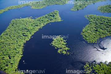
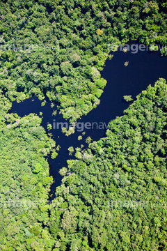
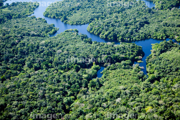
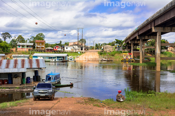
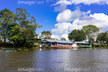
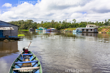
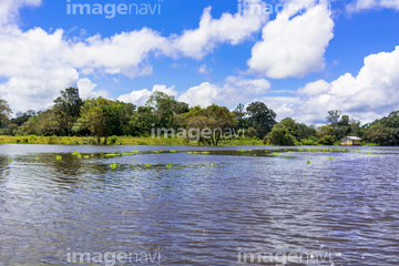
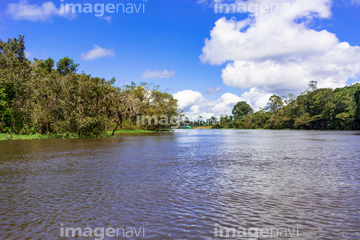
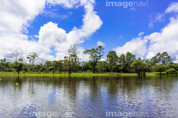
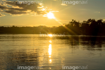
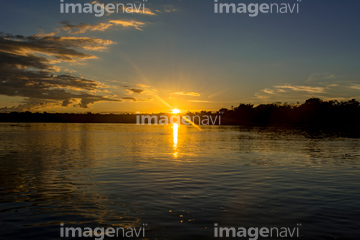
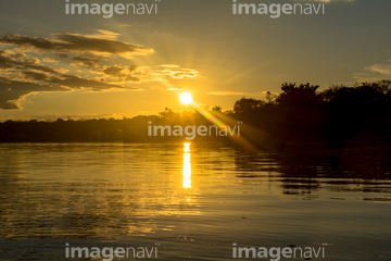
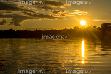
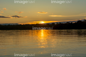
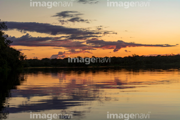
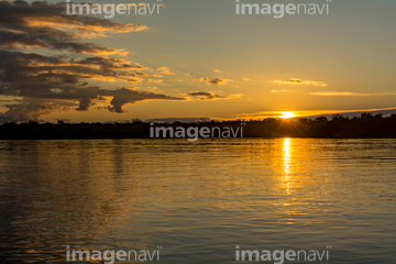
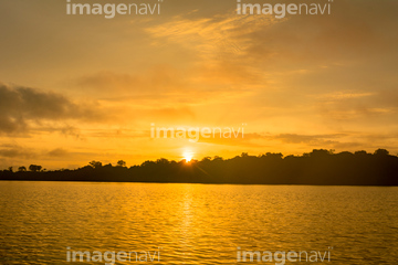
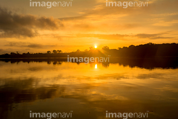
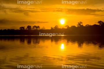
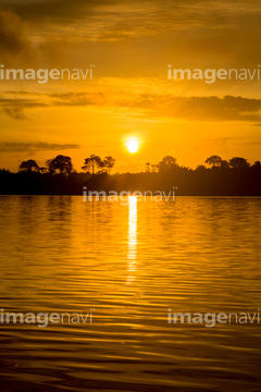
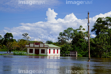
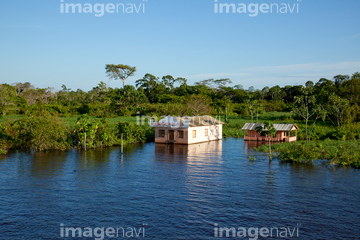
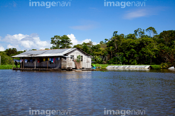
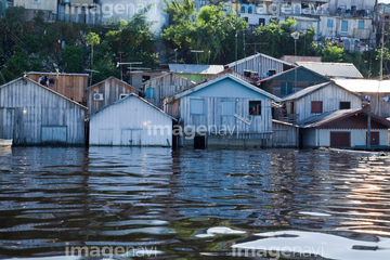
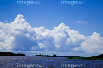
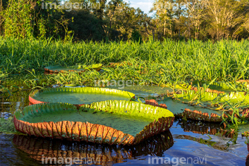
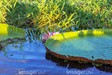
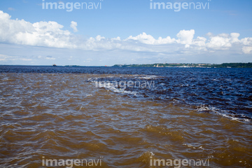
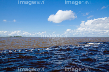
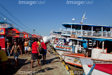
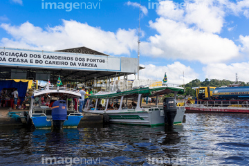
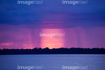
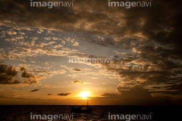
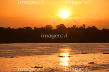
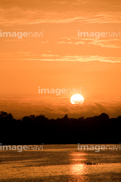
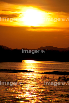
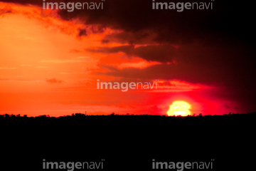
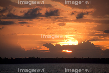
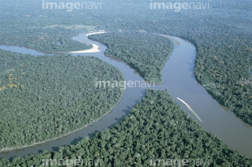
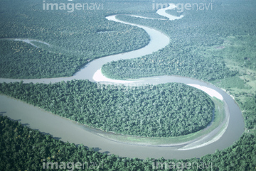
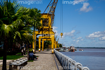
この検索結果には、アマゾン川のバルゼア林、アマゾン川と熱帯雨林空撮、世界遺産・アマゾン川、洪水のマナウス市内、アマゾン川に沈む夕陽、アマゾン川の入道雲などが含まれています。
31006624
31006623
31006621
31006622
31006625
31006626
31006627

31006642
31006643
31006644
31006645
31006646
31006647
31006650
31006277
31006278
31006279
31006280
31006734
31006735
31006736
31006737
31006738
31006739
31006740
31006741
31006742
31006743
31006744
31006745
31006746
31006747
31006748
31006749
31006750
31006751
31006752
31006753
31006754
31006261
31006262
31006263
31006264

31006265
31006266
31006267
31006268
31006269
31006270
31006271
31006272
31006273
31006707
31006287
31006288
31006289
31006290
31006291
31006292
31006293
31006294
31006295
31006296
31006297
31006298
31006704
31006705
31006706
31006708
31006620
31006657
31006285
31006286
31006274
31006275
31006276
31006630
31006631
31006632
31006648
31006660
31006661
31006629
31006619
31006639
31006640
31006641
31006649
31006662
31006663
31006628
31006257
31006664
31006633
31006634
31006635
31006637
31006651
31006652
31006653
31006654
31006655
31006656
31006658
31006659
31006665
31006668
31006669
31006670
31006636
31006638
31006299
31006300
31006301
31006302
31006303
31006304
31006305
31015969
31006667
31006671
31006702
31006698
31006699
31006700
31006701
31006703
31006260
31006666
31006760

31006697
31006672
31006673
31006674
31006675
31006676
31006677
31006759
31006761
31006762
70006602
70006603
31006757
31006683
31006684
31006281
31006282
31006283
31006284
31006258
31006259
31006758
00009320
31006777
31006778
31007804
31007805
31007806

31007807
99046059
64016106
51990781
51991926
51941363
31006775
31006776
31006779
31006780
31006781
31006782
31006783
31006784
31006786
31006787
31006788
31001624
30404992
70014496
70005581
70005584
70014495
31001623
31006682
51923159
51980947
51450849
| 次ページ |
