HOME > ژتگ^ > ڈو‚蕨پEŒً’ت > Œً’تƒCƒپپ[ƒW > ’nگ}
10,000Œڈ‚جژتگ^‘fچق‚ھŒںچُ‚³‚ê‚ـ‚µ‚½پB
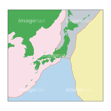
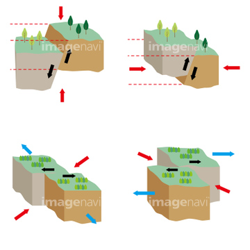
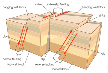
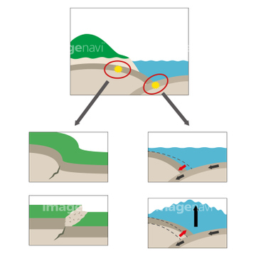
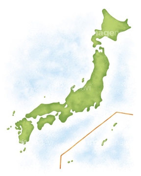
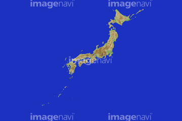
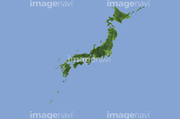
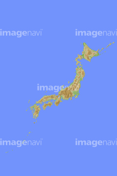
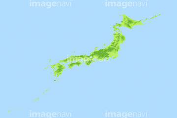
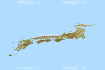
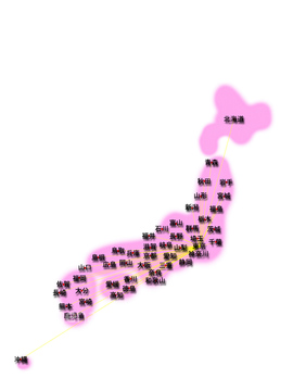
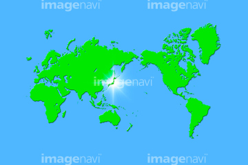
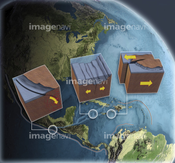
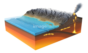
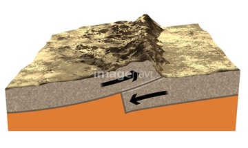
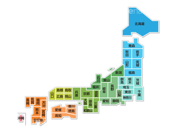
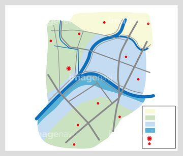
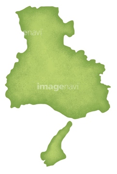
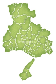
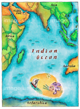
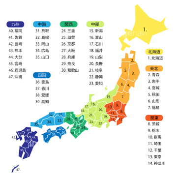
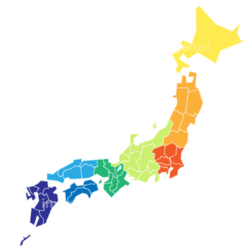
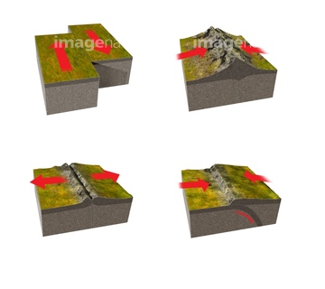
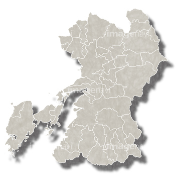
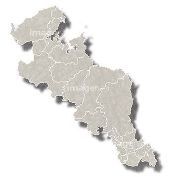
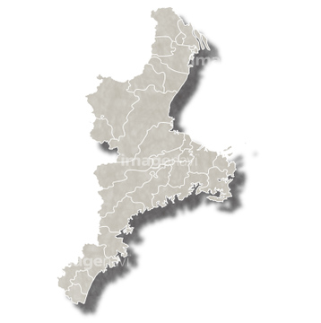
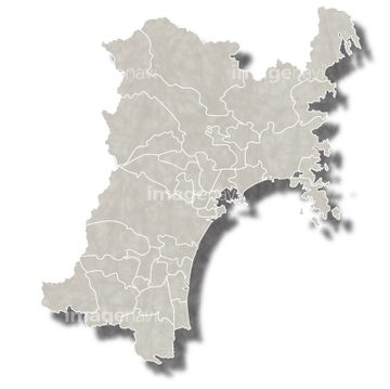
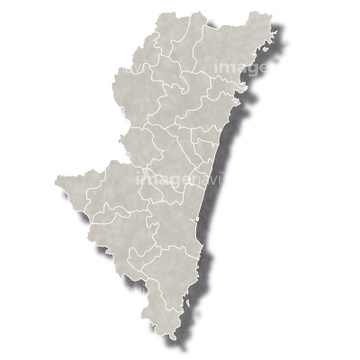
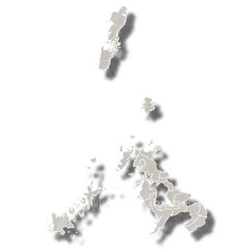
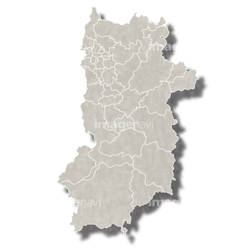
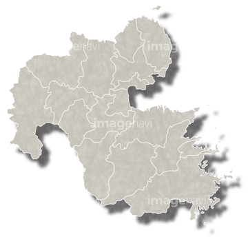
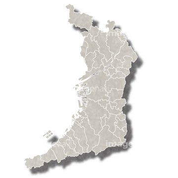
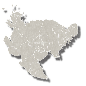
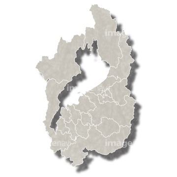
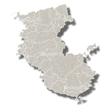
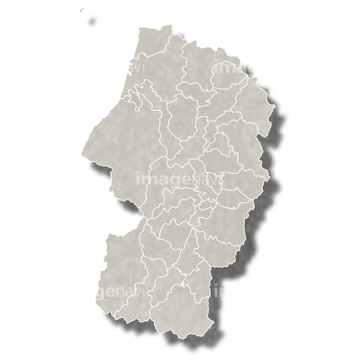
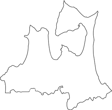
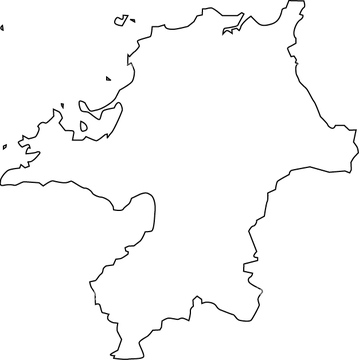
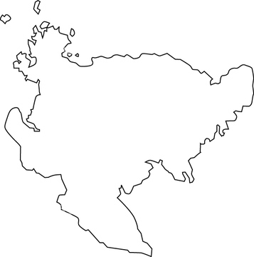
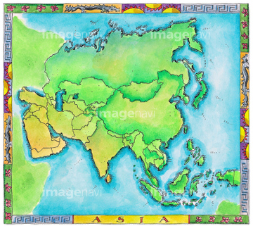
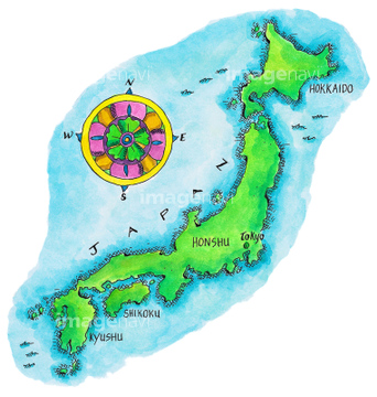
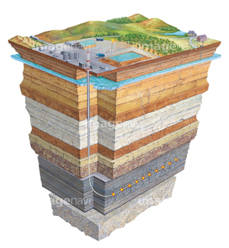
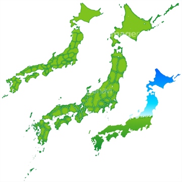
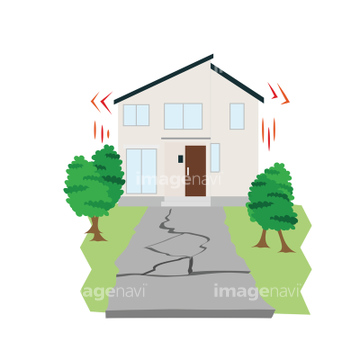
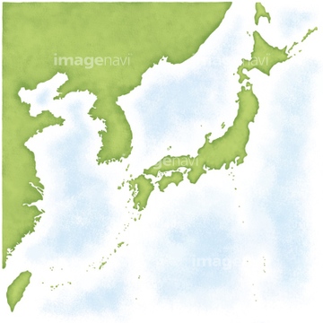
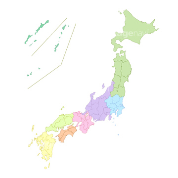
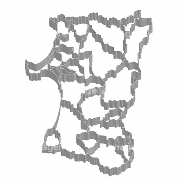
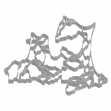
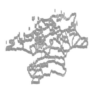
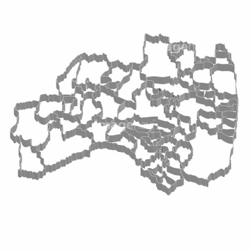
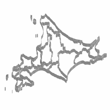
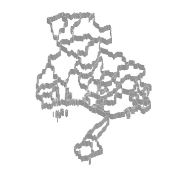
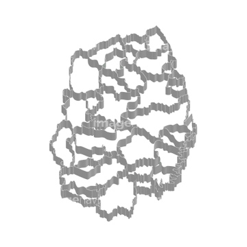
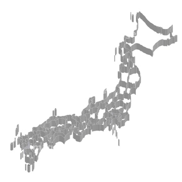
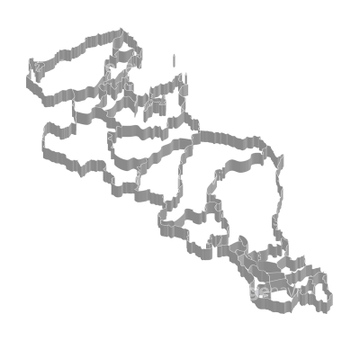
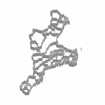
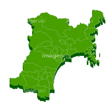
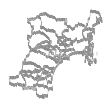
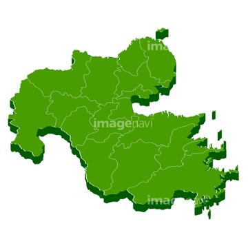
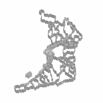
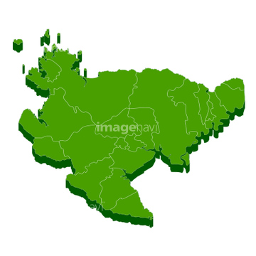
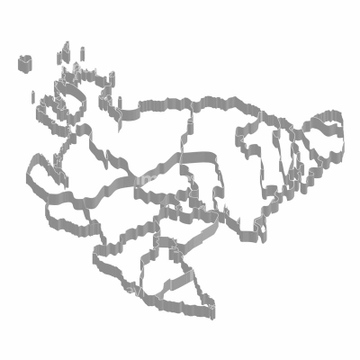
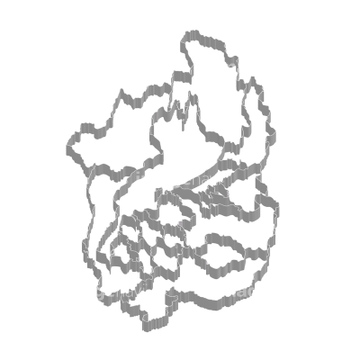
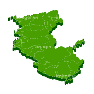
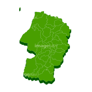
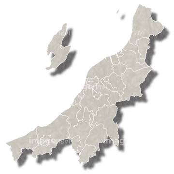
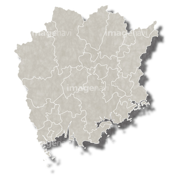
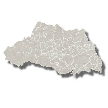
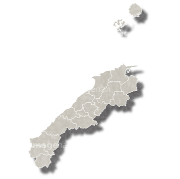
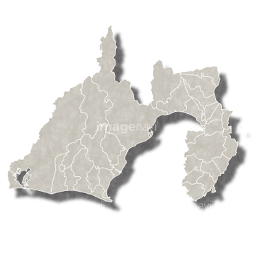
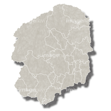
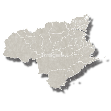
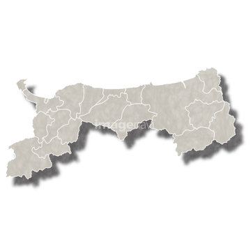
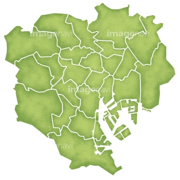
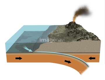
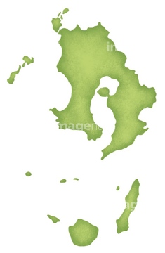
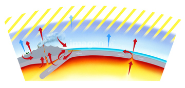
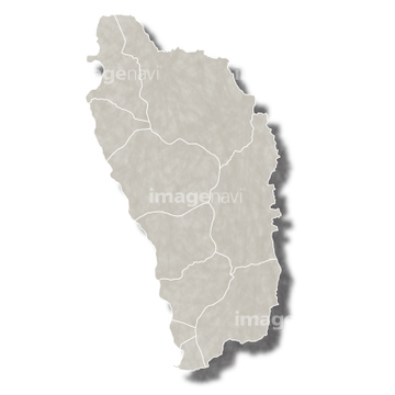
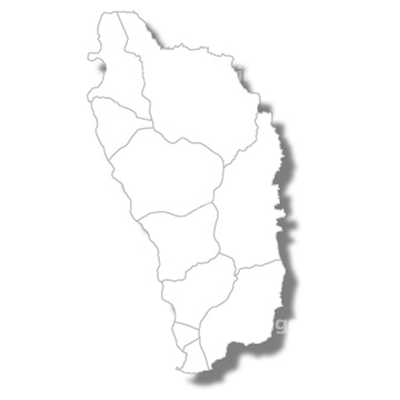
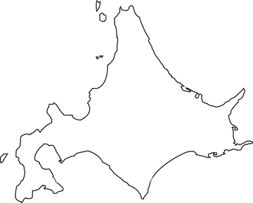
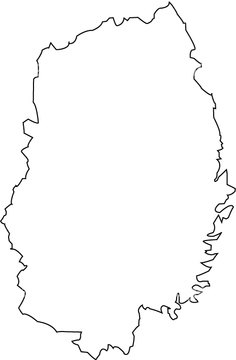
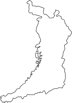
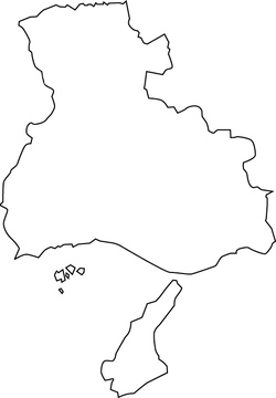
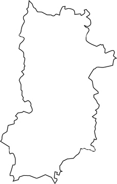
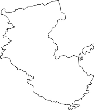
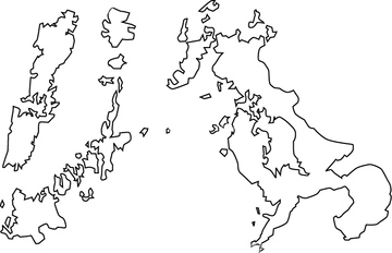
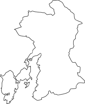
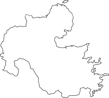
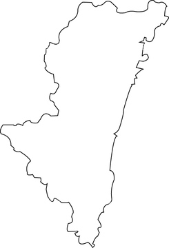
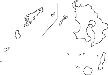
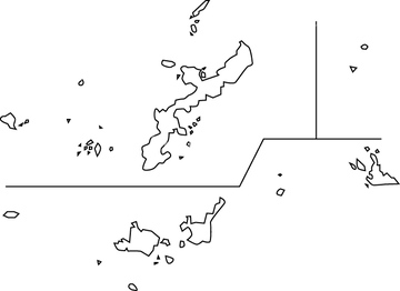
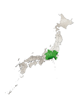
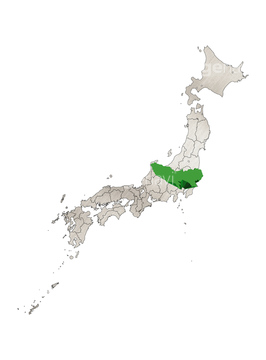
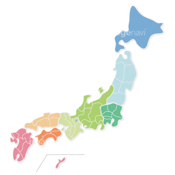
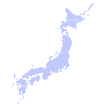
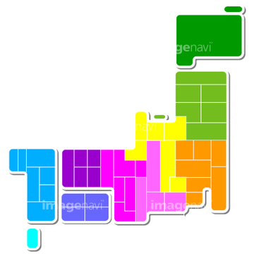
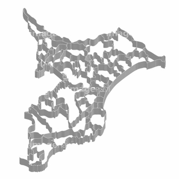
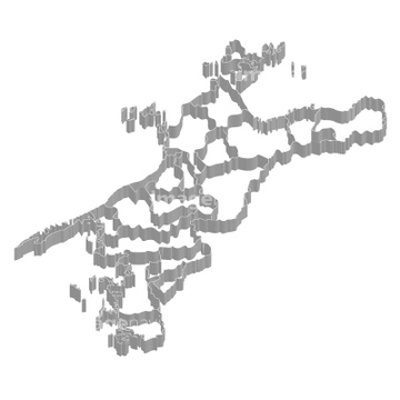
‚±‚جŒںچُŒ‹‰ت‚ة‚حپA“ْ–{—ٌ“‡ژü•س‚ة‚ ‚éƒvƒŒپ[ƒg‚ج‚ ‚ç‚ي‚µ‚½ƒCƒ‰پA‚Sƒ^ƒCƒv‚ج’f‘w‚ج‚¸‚ê•û‚ً‰ًگà‚·‚éƒCƒ‰ƒXƒgپAٹC‘¤‚ئ—¤‘¤‚إ‹N‚±‚é’nگk‚ً‰ًگà‚·‚éƒCƒ‰ƒXƒgپA’n‹…‚ح—F’BپA“ْ–{—ٌ“‡‚ئ‘ن•—پA“ْ–{—ٌ“‡‚ج’nگ}‚ب‚ا‚ھٹـ‚ـ‚ê‚ؤ‚¢‚ـ‚·پB
64029645

31038663

14406144

41369220

40534993
14406123
40301667
40819389
41369218
41369219
41369245
41369246
41369247

11855567
70102702
10112051
14406119
41584671
41584672

31195530

31195302
31195304
31195306
31391623

14406120
31195305
40819595

40819603
40819720
30038115
31195331
31195333
30038073
14406121
41043101
41043102
41043103
41043104
41043105
41043107
41043108
41043110

41043112
41043113
41043114
41043116
41043124
41043125
40301621
40301659
40301660

40819580
40819591
40819599

40819607
40819719
30038105
30038075
30038093
30038097
30038118
31195332

40819556
40819561

40819604
40534999

64084471
64062315
40534994
31195568
40819712
40533991
41065322
41065324
41065332
41065334
41065342
41065344
41065350
41065351
41065356
41065884
41065885
41065886
41065887

41065888
41065889
41065890
41065891

41065892
41065893

41065896
41065897
41065898
41065899
41065902
41065903
41065906
41065907

41065908
41065909
41065910
41065911

41065914
41065915
41065930
41065931
41065932
41065933
41043109
41043111
41043115
41043117
41043118
41043119
41043120

41043121
41043122
41043123
41043126
41043127
40301652

40819616
40819715

11855257

40523421
40819597
64037951
41042065
41139641

41278246

30038116

40551729

40551730
40301620
40301622
40301623
40301624

40301625

40301626
40301643

40301644
40301645
40301646
40301647
40301648
40301649
40301661
40301662
40301663
40301664
40301665
40301666
40819574

40819584
40819587

40819588
40819602
40819615
64045830
41043106
10122755
64089035
10122961

10054656

29609702

40573352

40573353

41065352
40819713
30038106
31195560
31195561
31195562
40534985
40534995
40534996
40534997
41117625
41065320
41065326
41065328
| ژںƒyپ[ƒW |
