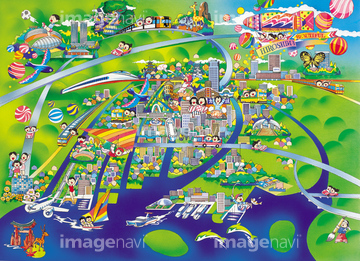
HOME > ژتگ^ > ڈو‚蕨پEŒً’ت > Œً’تƒCƒپپ[ƒW > ’nگ}
10,000Œڈ‚جژتگ^‘fچق‚ھŒںچُ‚³‚ê‚ـ‚µ‚½پB
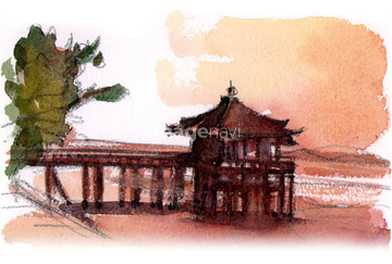
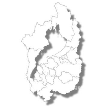
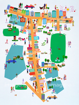
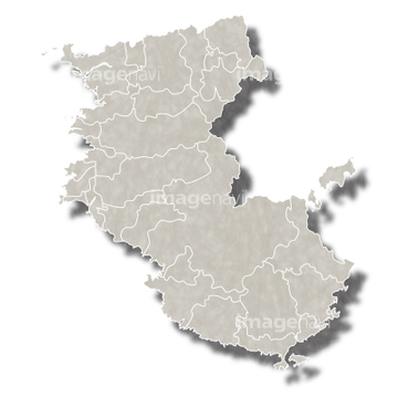
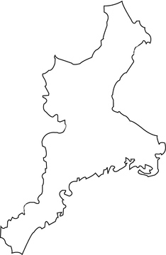
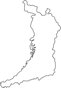
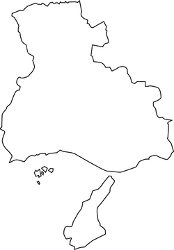
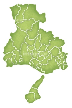
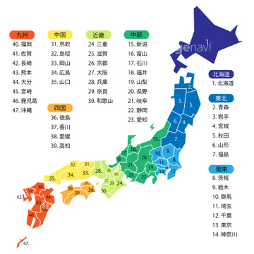
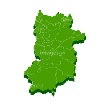
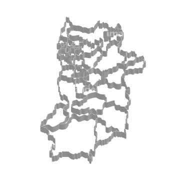
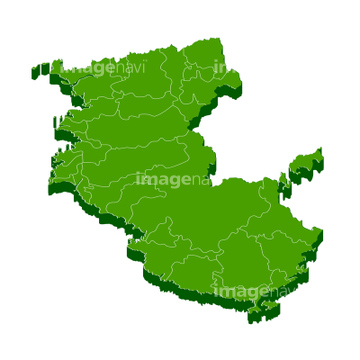
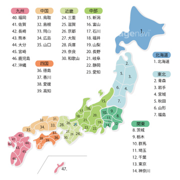
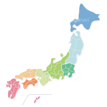
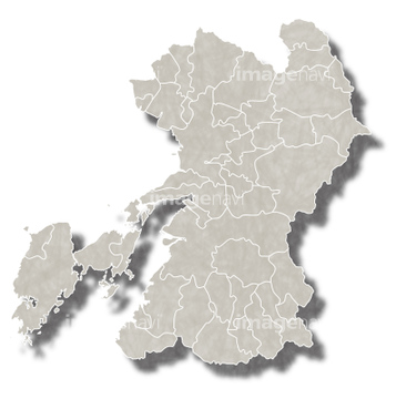
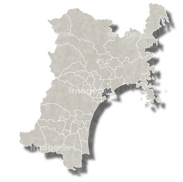
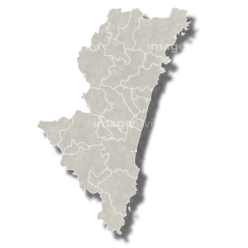
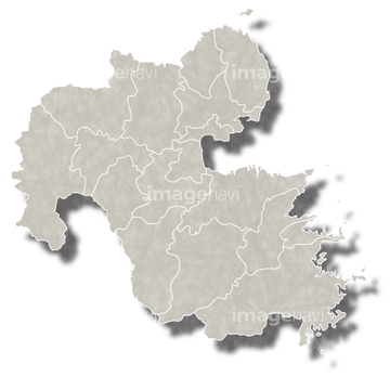
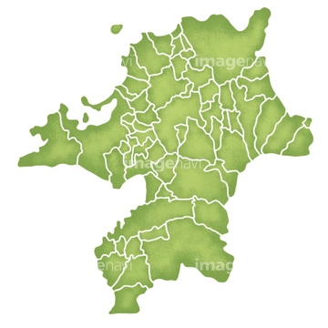
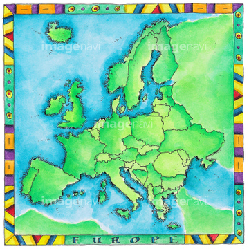
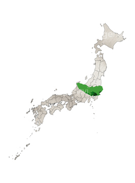
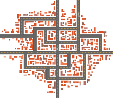
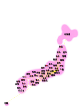
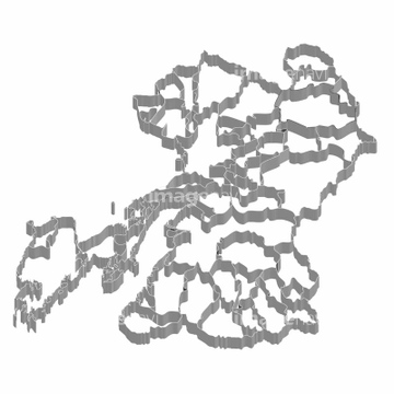
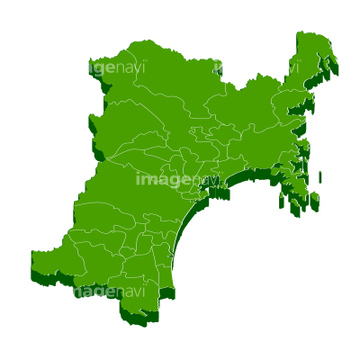
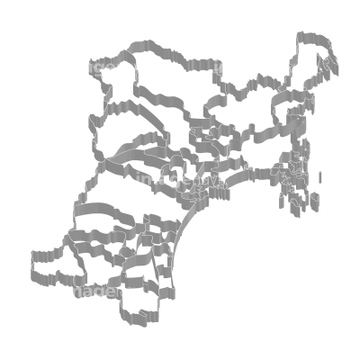
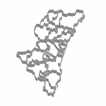
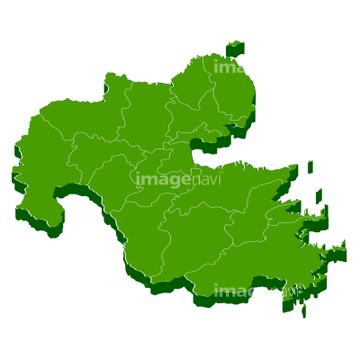
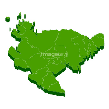
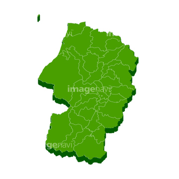
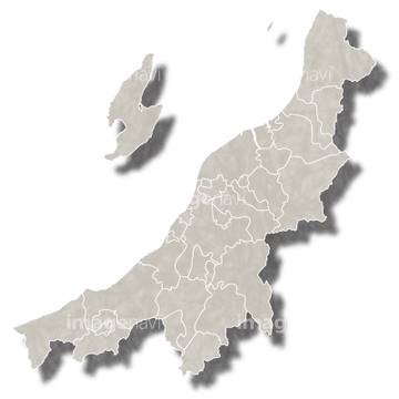
‚±‚جŒںچُŒ‹‰ت‚ة‚حپAژ ‰êŒ§‚ج’nگ}پAژ ‰êپ^”ْ”iŒخپAژ ‰ê‚ج”ْ”iŒخ‘ه‹´پAژ ‰êپAژ ‰êپ@’nگ}پ@ƒtƒŒپ[ƒ€پ@ƒAƒCƒRƒ“ پA‘ه“à“»‚©‚ç–]‚ق“V‹´—§‚ب‚ا‚ھٹـ‚ـ‚ê‚ؤ‚¢‚ـ‚·پB

40819609
40307322

10045686

41043116

30038082

41065914
41065915

70593347

40301644
40307302

10044907

41435439

41412566
41119004

41279157
30038113

41416507

40572419
70194788
70194789
70194790
70194791
41043102
41043103
41043108

41043113
41043124
40301643

40301645
40301646
40301647

40301648

40301649

40819584
30038104

70593356

40819595
40819720

31195302
31195304
31195305
31195306

41196515
30038102
30038093
30038097

30038105
30038106
30038115

30038116
30038118

10112051
40819558
41065344
41065886
41065887

41065888
41065889
41065898
41065899

41065908
41065909
41065930
41065931

40819581

40819601

40819727

40899314
41043106
41573008
30038083
64045821
64049140
31195246
14403865

16002298

30038114
41282331

11855257
31195560
31195561
31195562
40819713

41276070
14406123
41043101
41043104
41043105

41043107
41043110

41043112
41043114
41043125

40301620

40301621

40301622
40301623
40301624

40301625

40301626
40301659
40301660
40301661

40301662

40301663
40301664
40301665
40301666

40819574

40819580

40819587

40819588

40819591

40819599

40819602

40819607

40819615
40819719

30038073
30038075
40301667
40819389

40819603
64045830
10112047
10122755
10122961

30038109
30038081
30038090
30038092
30038103
30038108
30038110
30038117

30038120
30038122
30038124


41198421

41200573

40534993

11855567
70102702
18351482
19283255
19283355
19282809

14402977
14403866
17262840
17262841
17262842

17262934
41065322
41065324
41065332
41065334
41065342
41065350
41065351

41065356

41065884
41065885
41065890
41065891

41065892
41065893

41065896

41065897
41065902
41065903
41065906
41065907
41065910

41065911
41065932
41065933
41043109
41043111

41043115
| ژںƒyپ[ƒW |
