HOME > ژتگ^ > ڈو‚蕨پEŒً’ت > Œً’تƒCƒپپ[ƒW > ’nگ}
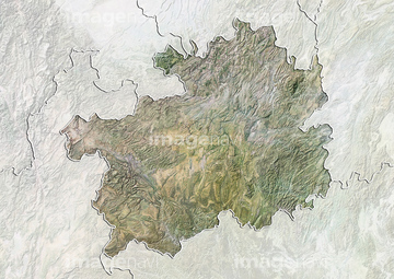
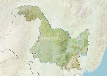
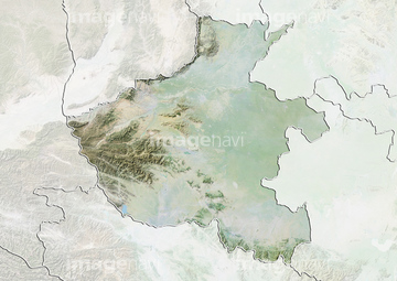
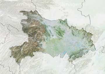
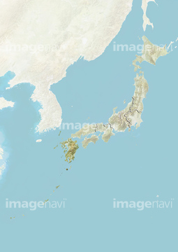
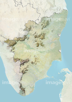
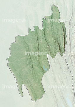
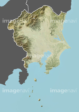
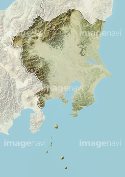
10,000Œڈ‚جژتگ^‘fچق‚ھŒںچُ‚³‚ê‚ـ‚µ‚½پB
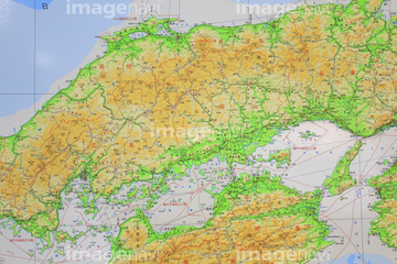
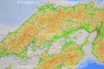
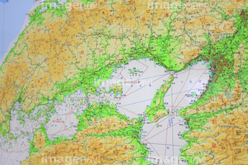
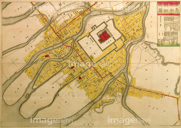
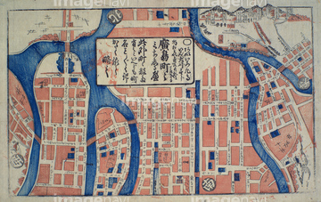
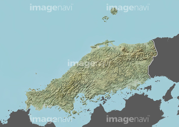
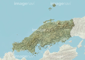
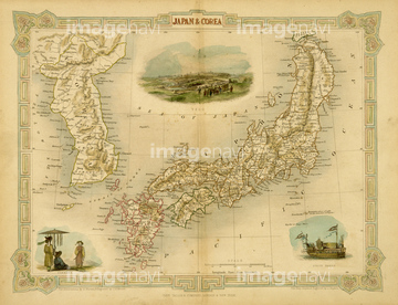
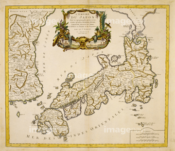
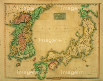
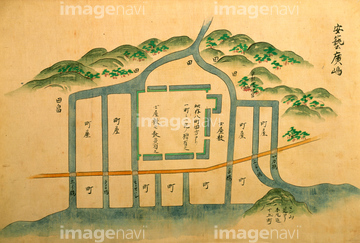
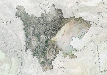
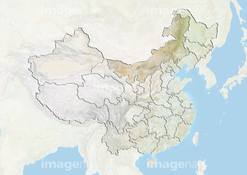
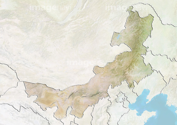
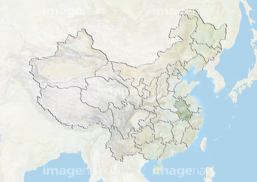
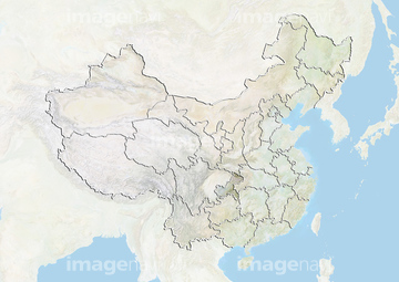
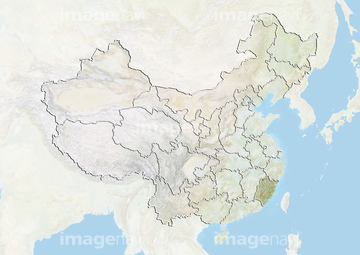
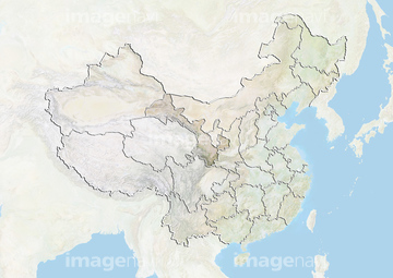
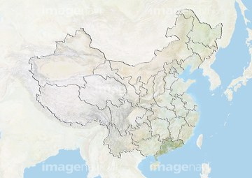
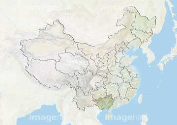
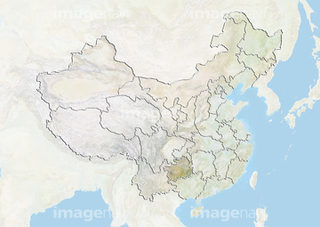
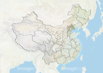
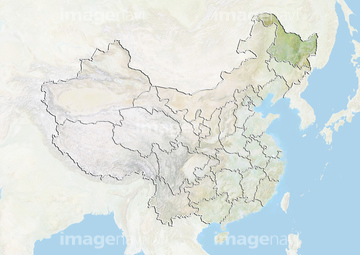
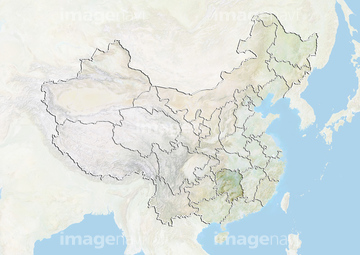
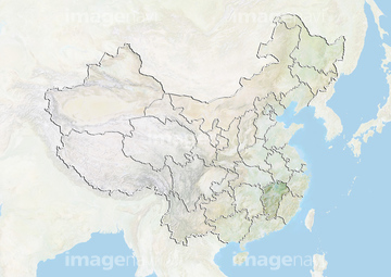
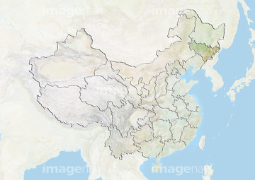
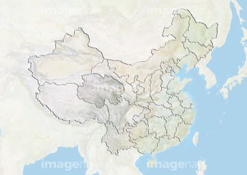
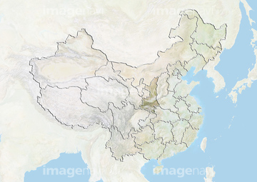
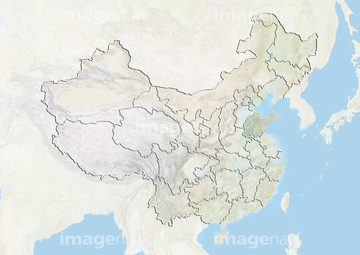
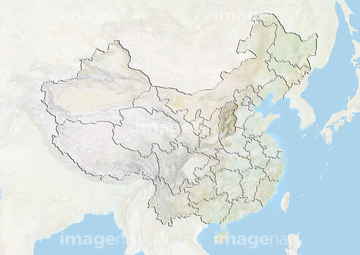
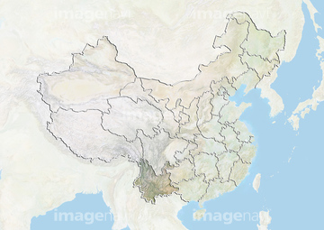
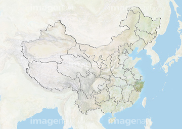
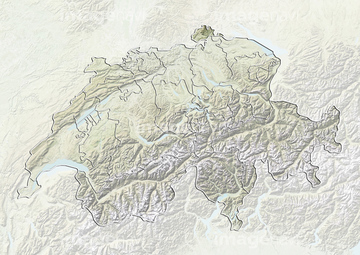
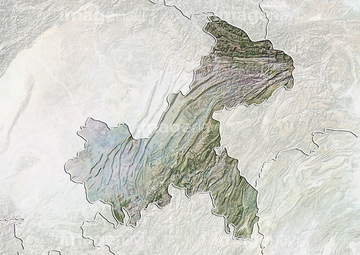
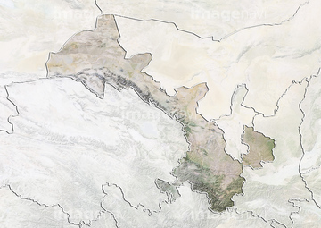
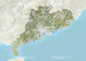
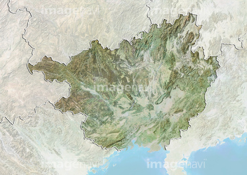
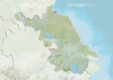
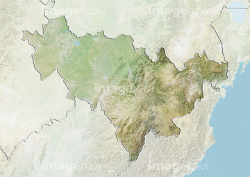
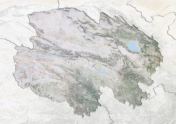
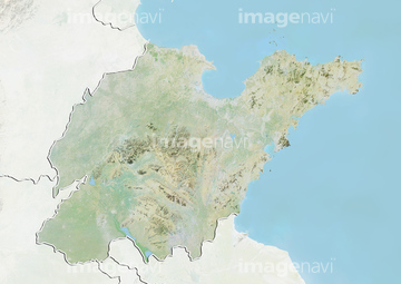
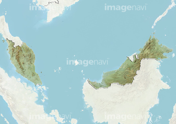
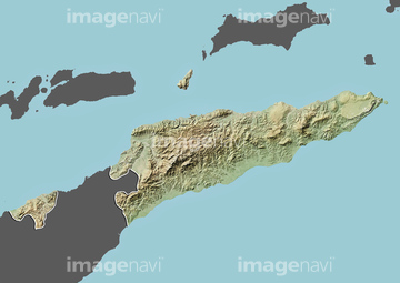
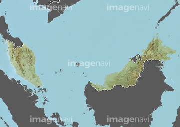
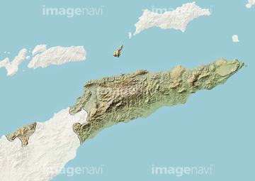
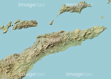
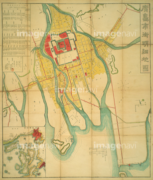
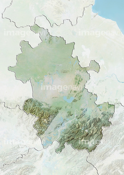
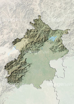
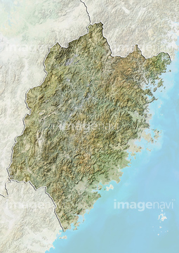
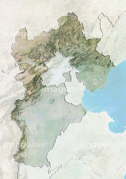
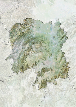
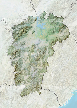
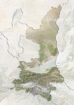
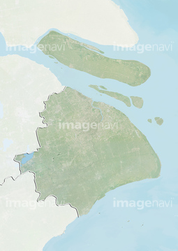
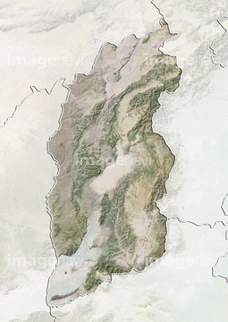
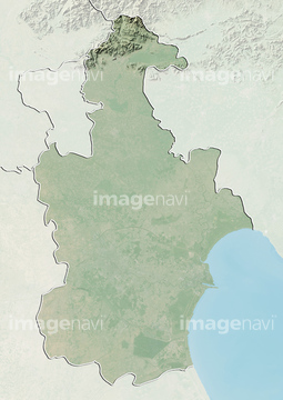
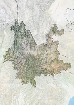
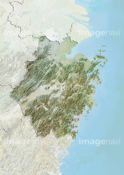
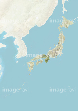
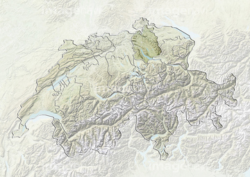
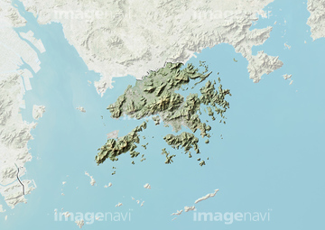
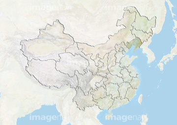
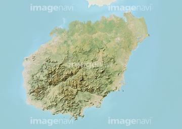
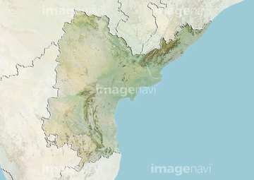
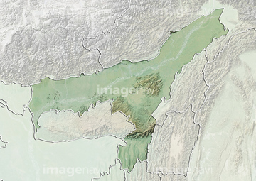
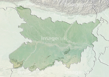
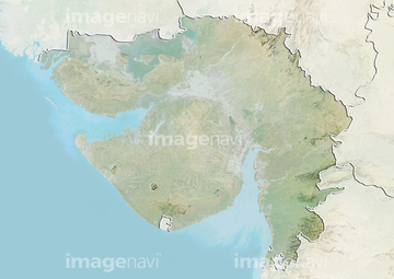
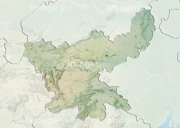
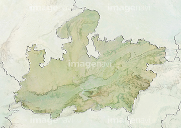
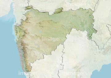
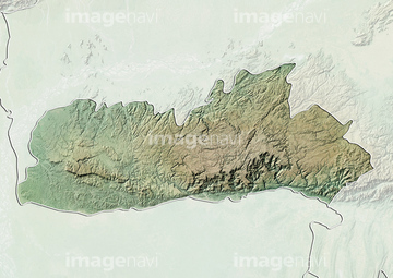
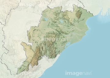
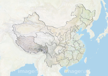
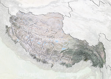
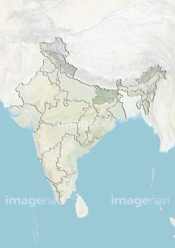
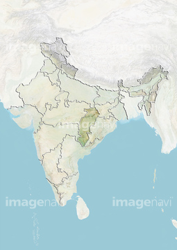
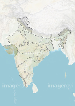
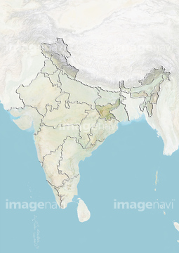
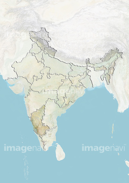
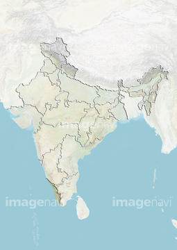
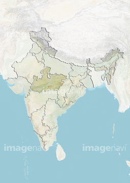
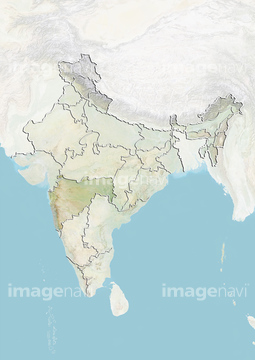
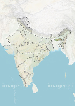
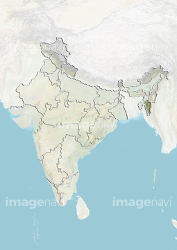
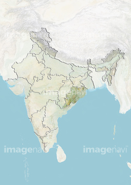
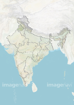
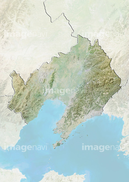
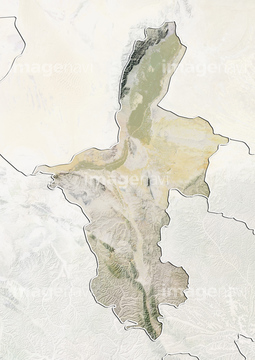
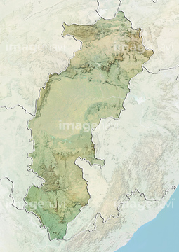
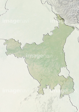
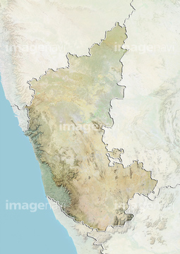
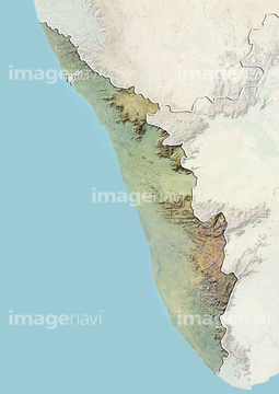
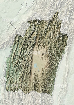
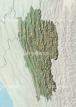
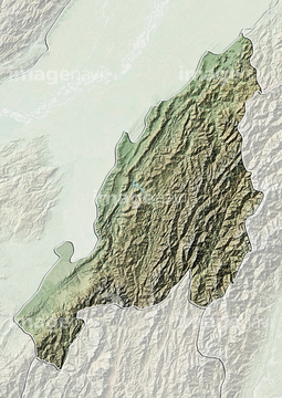
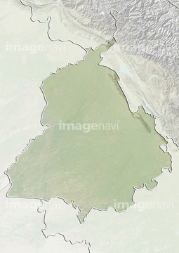
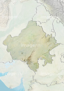
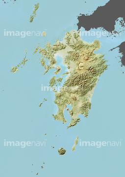
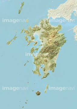
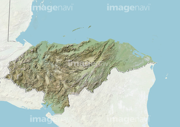
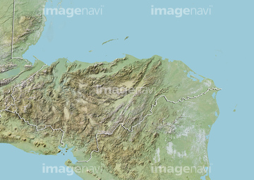
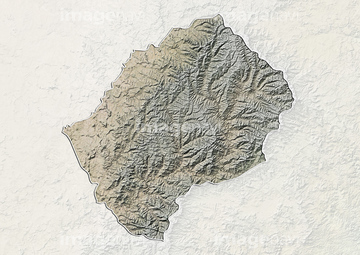
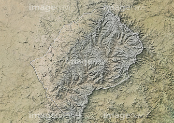
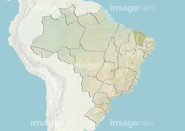
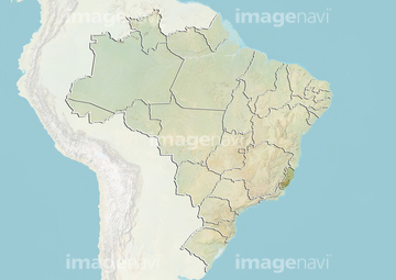
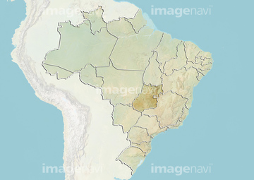
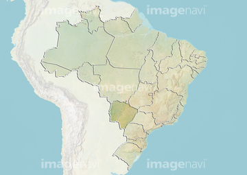
‚±‚جŒںچُŒ‹‰ت‚ة‚حپA’†چ‘ژlچ‘’n•û‚ج“ْ–{’nگ}پAŒأ’nگ}پAچL“‡ژsŒأ’nگ}پAژlچ‘’n•û‚ج’nگ}پAƒ‰ƒ“ƒhƒTƒbƒg’†ژlچ‘پAProvince of Qinghai, China, Relief Map‚ب‚ا‚ھٹـ‚ـ‚ê‚ؤ‚¢‚ـ‚·پB
41055459
41055457
41055458
70195240
70284514
41226204
41226278
70571203
51453276
51453277
19283227
19283228
19283229
70195239

51453019


51452997
51453001
51453011
51453015
51453025
51453281
51453282
70284426
41226352
41226426
41226197
41226271
51450969
70283422
51452989
51452991
51453007
51453017
51453037
51453043


51453165
51453167
51453173
51453200
51453290
51453291
10918577
51453045

51451214
51451222
51451388
51451452


51451003


51453175
51453185
51453191
51453195
51453197
51453202
51453210
51453284
51453285
51453287
51453288
16922580
51451087
51451194


| ژںƒyپ[ƒW |
