HOME > 写真 > イラスト・CG > テーマ > 水彩画
10,000件の写真素材が検索されました。
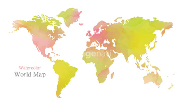
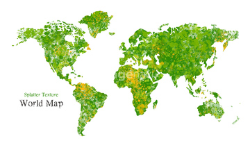
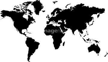
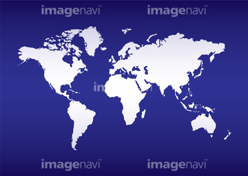
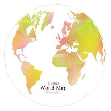
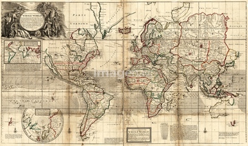
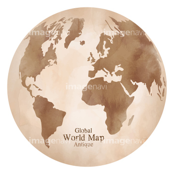
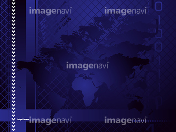
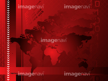
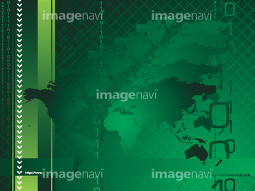
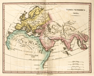
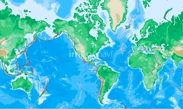
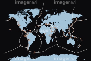
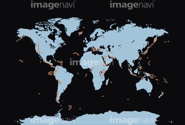
この検索結果には、世界地図 メルカトル図法の白地図、メルカトル図法の世界地図、アンティークでレトロな世界地図 古地図、モザイク風タイル状ドットの世界地図、水彩レインボーカラーの世界地図、幾何学的なラインパターンのおしゃれな世界地図などが含まれています。
41133921
41133920
41203895
41578825
41455543
41276445
31590444
41139707
41276449
41276446
41276448
41407977
31700328
31700329
41407978
41276447
41139708
20511997
64116145
64116152
64109484

41409991
41276903
41409988
41409989
41276902
41276896
41276900
64109416
20511979
20511990
41126939
41126968
41126970
41126990
41126995
41127008
31700334
31700335
41572795
41572797
41572798
41572800
41572802
41563427
41563428
41563429
41563430
41563431
41563433
41563434
41563435
41563436
41563437
41563438
41196615
41196618
64109485
64109486
17278656

31700330
31700331
41026896
41139704
19005806
41040328

41445167
64128633
41409990
41276899
41276897
41276901
41278838
64116174
64119860
41276898
20511985
41126944
41126991
41126956
41126961
41126966
41126992
41127009
41126947
41126948
41126953
41126955
41126957
41126958
41126984
41126996
41126997
41126998
41127016
41127018
41126941
41126942
41126969
41126971
41126973
41126976
41126977
41126978
41126980
41126981
41126982
41126983
41126987
41126988
41126993
41126999
41127003
41127004
41127005
41127006
41127012
41127013
41127014
41127017
41127019


41562851
41562859
41572796
41572799
41572801
41196612
41196613
41196614

41196616
41196617
41196619
41196620

41196621
41278837
41279318
41026889
41026890
41026891
41026892
41026894
41026895
41040329
41040330
41278742
41278745
41278748
41026900
64109487
41278739
41278740
41278741
41278743
41278744
41278746
41278747
41437761
64046158

64116153
64170942
| 次ページ |
