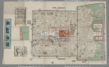
HOME > ژتگ^ > ڈو‚蕨پEŒً’ت > Œً’تƒCƒپپ[ƒW > ’nگ}
10,000Œڈ‚جژتگ^‘fچق‚ھŒںچُ‚³‚ê‚ـ‚µ‚½پB
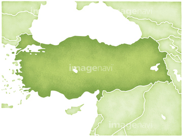
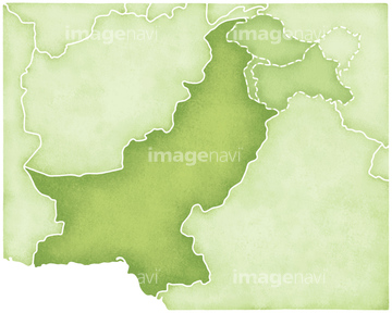
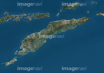
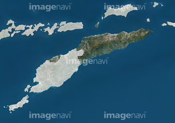
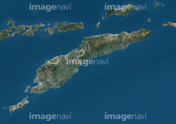
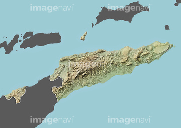
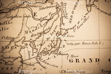
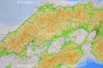
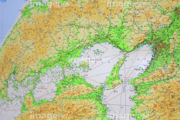
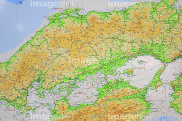
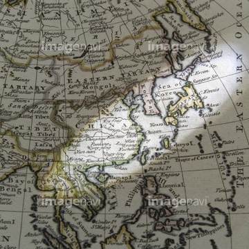
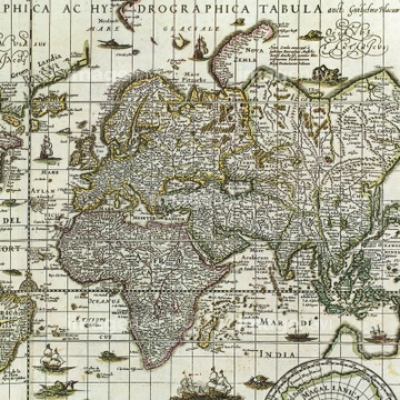
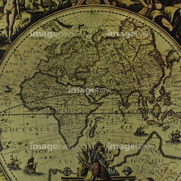
‚±‚جŒںچُŒ‹‰ت‚ة‚حپA“ŒƒeƒBƒ‚پ[ƒ‹‚ج’nگ}پA“ŒƒeƒBƒ‚پ[ƒ‹پAƒVƒ“ƒKƒ|پ[ƒ‹‚ج’nگ}پAŒأ’nگ}پAƒtƒBƒٹƒsƒ“‚ج’nگ}پAƒgƒ‹ƒR‚ج’nگ}‚ب‚ا‚ھٹـ‚ـ‚ê‚ؤ‚¢‚ـ‚·پB
41154563

41539364

41539565
41226059

10918545

10307301

10307351

10307357


41154564
41226049

41226050
41226052
41226056

41226070
41226055

10903458
51450969

10903460

10307305
10307307

10122909

10307331

10307344

10307345

10307349

10918546

10307362

10307358

10307359
70124540
10918538

10918543
41226053

41226057

10918565
10918574

10918575

10918585
19283225
70283506
41154505
41226036

41226040

41226041
41226064
70272646

41154562
41154569
10918541
19283227
19283228
19283229
19283281
64082615
41226204
41226211

41226215

41226218

41226221

41226226

41226227

41226238

41226239

41226240

41226243
41226258
41226278

41226280

41226285

41226289
41226292

41226295

41226300

41226301

41226312

41226313

41226314

41226317
41226332
41154559

41154565
10903461

10903464

29204708

29204718

29204729

29204791

29204806

40515470
40534600
41055457
41055458
41055459

10903456
10918542
10918553

10918620

10307320

10307332

10307334

10307335

10307348

10307361

10903455

10307308

32205501

12406251

10918136

10307315

10307323

10307356

10307360

10036519

54001367

10307302

10307303

10307309

10307310
10307312

10307313
10307314

10307319
10307324
10307325
10307326

10307333

10307336
10307339
10307340

10307342

10307343

10307322
10307329
10307337

10307354

10307355
70110865
70254835
70254837

30013590

10918544

10918548

10918549

10918551
10918552

10918557

10918581
10918582

10918601
41154554

41154558
41226043
41226044

41226045
41226046
41226047

41226065

41226066

41226067

41226069
70284426

64063904
63030013
64042092

64042292
64042297
70272644
70272645

41473933

41226054

41226058
41226063
41226197
41226207

41226209

41226213

41226214

41226217
41226222
| ژںƒyپ[ƒW |
