HOME > ژتگ^ > ƒrƒWƒlƒX > ƒrƒWƒlƒXƒCƒپپ[ƒW > ƒOƒچپ[ƒoƒ‹
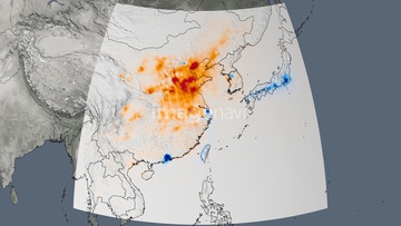
10,000Œڈ‚جژتگ^‘fچق‚ھŒںچُ‚³‚ê‚ـ‚µ‚½پB
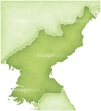
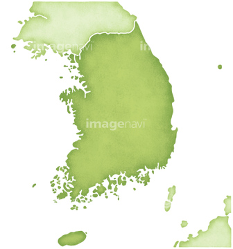
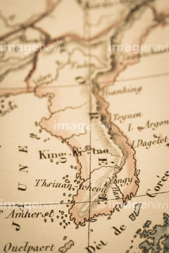
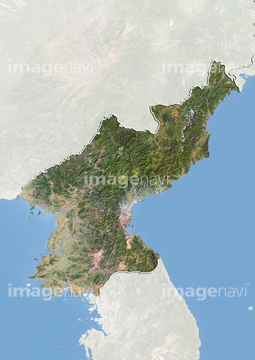
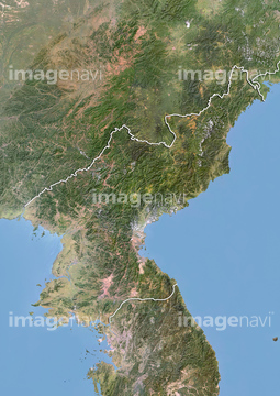
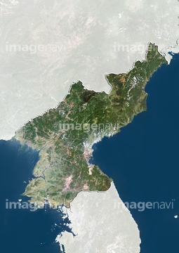
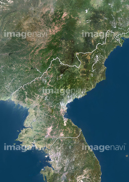
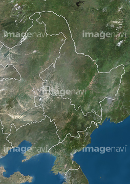
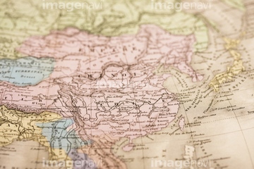
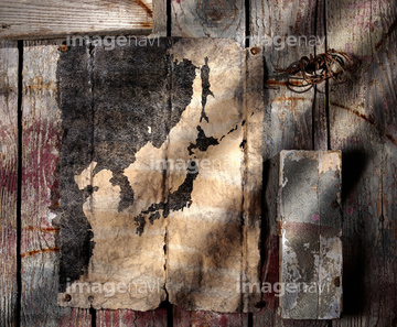
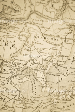
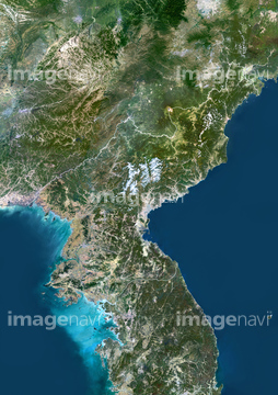
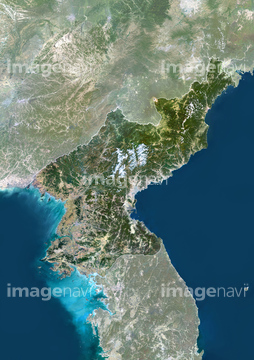
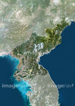
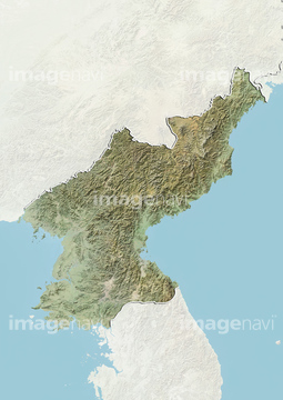
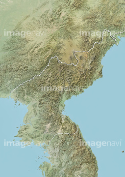
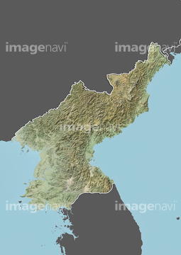
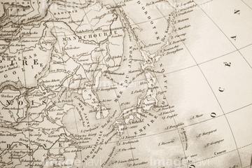
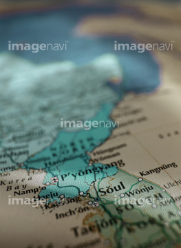
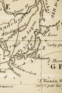
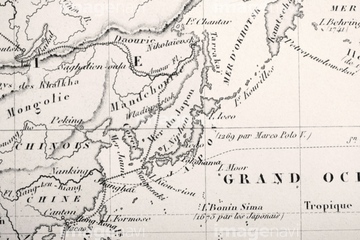
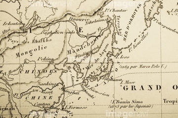
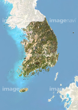
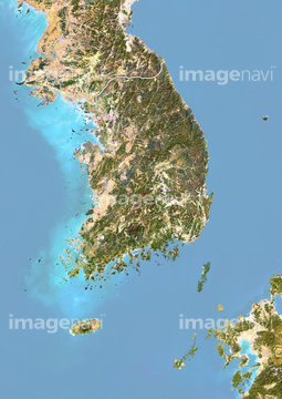
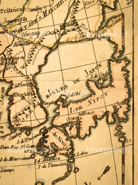
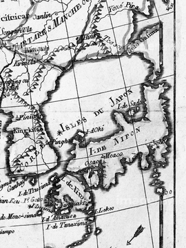
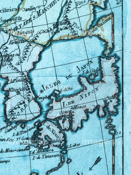
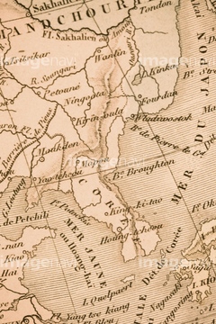
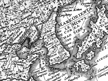
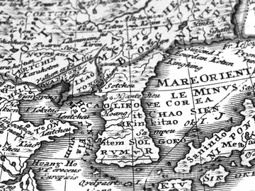
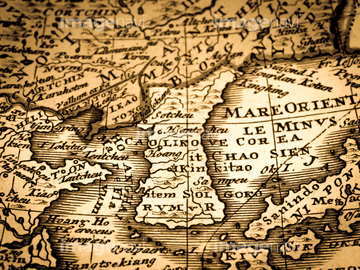
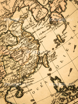
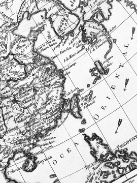
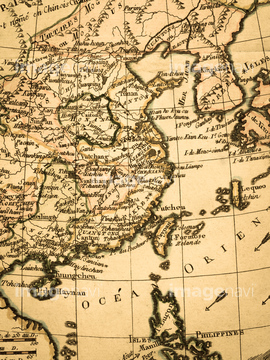
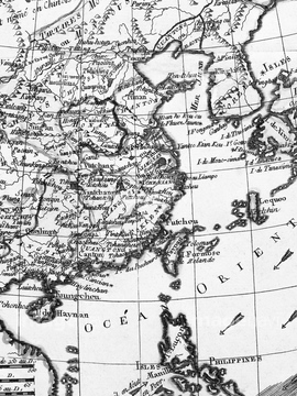
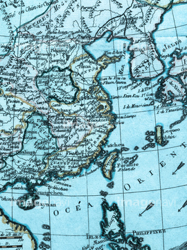
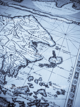
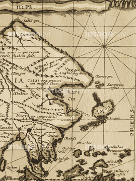
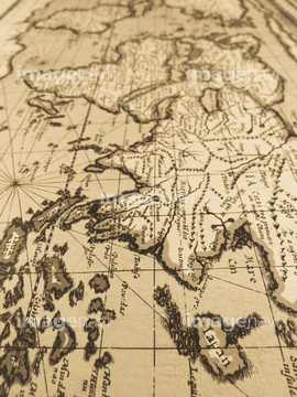
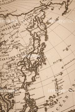
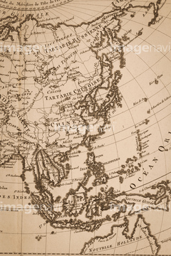
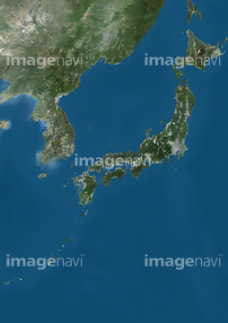
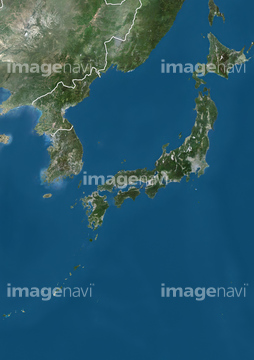
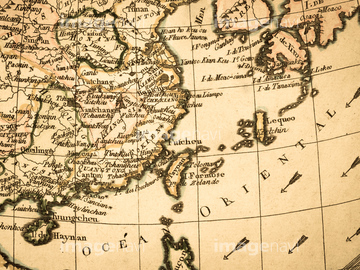
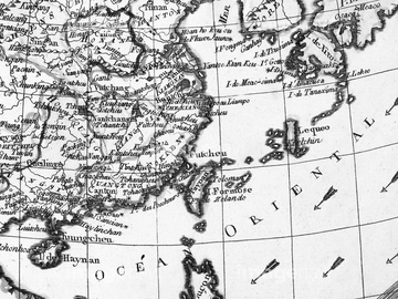
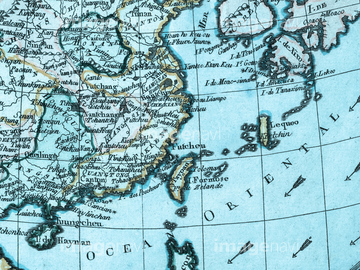
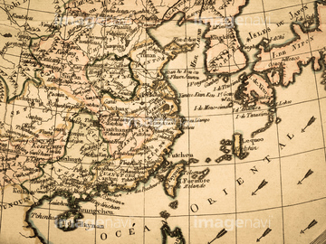
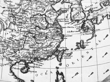
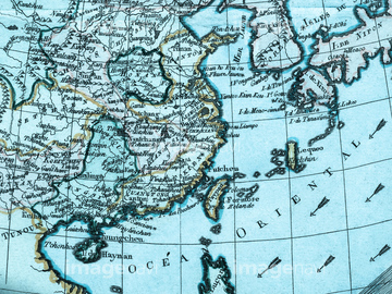
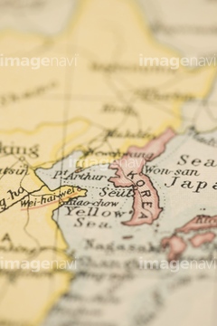
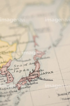
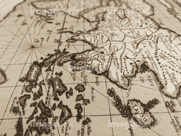
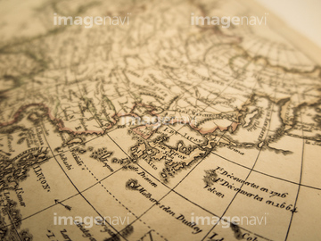
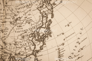
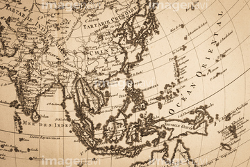
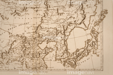
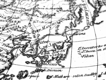
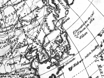
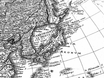
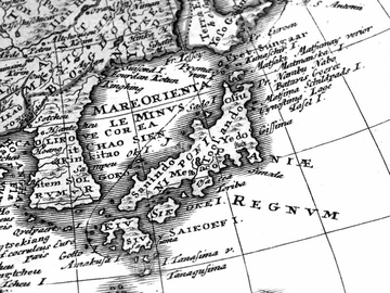
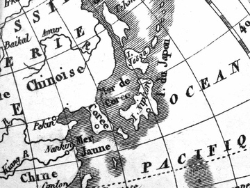
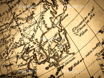
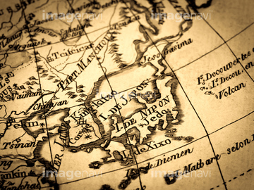
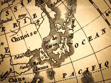
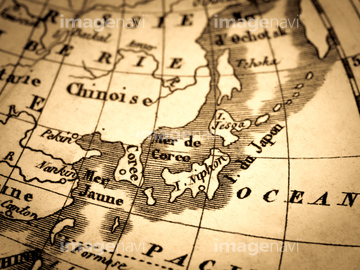
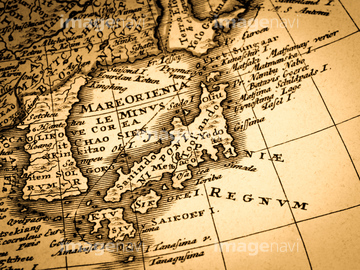
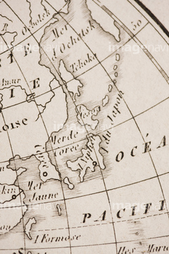
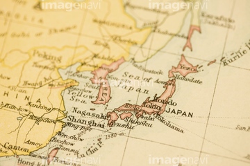
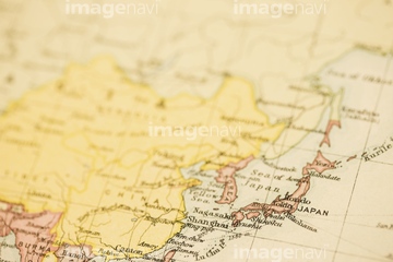
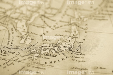
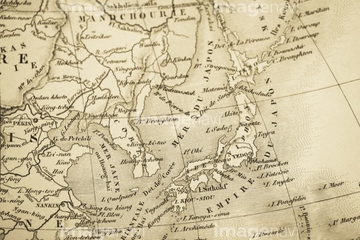
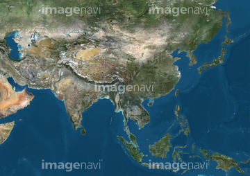
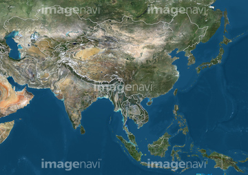
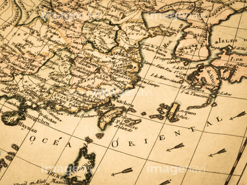
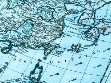
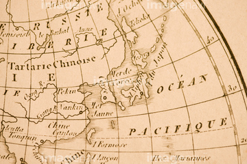
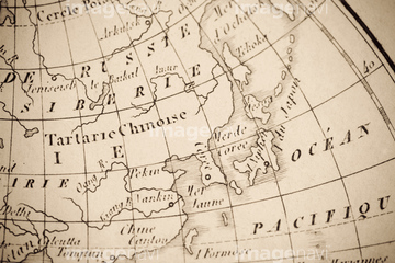
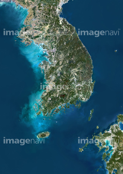
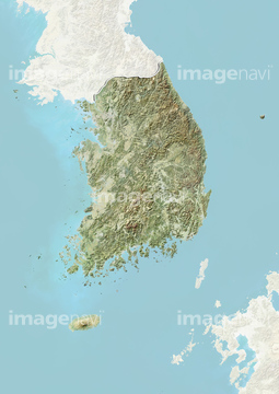
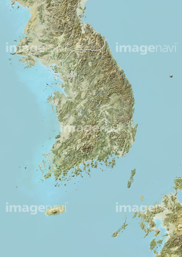
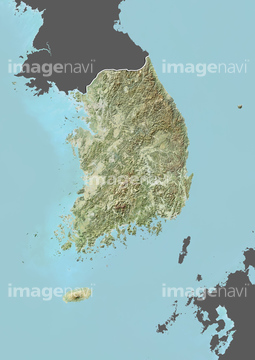
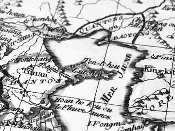
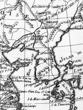
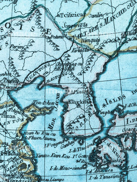
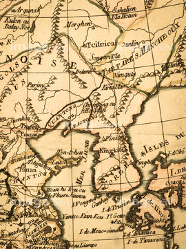
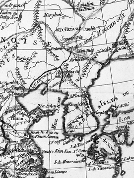
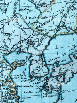
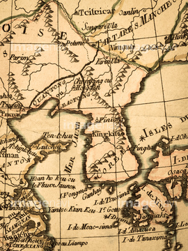
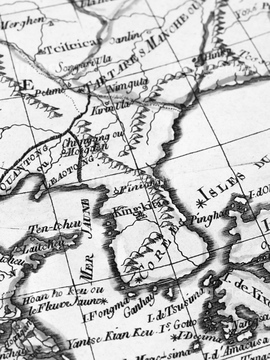
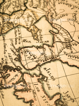
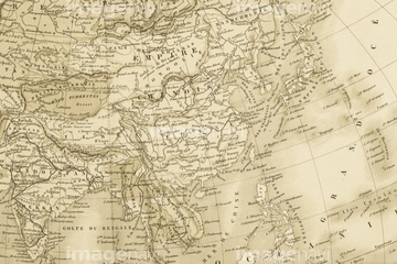
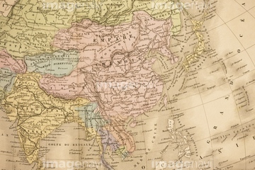
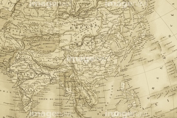
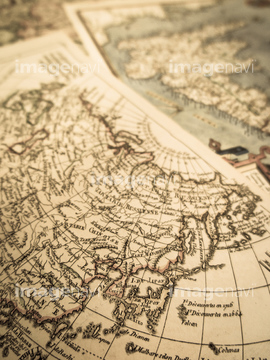
‚±‚جŒںچُŒ‹‰ت‚ة‚حپA–k’©‘N‚ج’nگ}پAٹطچ‘‚ج’nگ}پAƒAƒ“ƒeƒBپ[ƒN‚جگ¢ٹE’nگ}پ@ٹطچ‘پAƒAƒ“ƒeƒBپ[ƒN‚جگ¢ٹE’nگ}پ@’©‘N”¼“‡پAŒأ’nگ}پAƒAƒ“ƒeƒBپ[ƒN‚جŒأ’nگ}پ@’©‘N”¼“‡‚ب‚ا‚ھٹـ‚ـ‚ê‚ؤ‚¢‚ـ‚·پB
41154577
41154578

40563010
40563012

40563008


30036055
40860999
30036077
40860990

40860991

40860992
51451316
40860989
30036714

40861007

40861008

40861009

40861010

40861050
40861062
40861063
40861029
40861051
40861064
40861065
40861066
51449398


30036075

41087388
41102801
41102802
41102803
40861006
41421493
41421494

41421495

41421496

41421760
41421761

41421762

41421763

41087375

41087408

70571192
41102789
41102790
41102791
41102908
41102909

41102910
41102911
41102912
41102913

40505354

40505355

40515438
40515439
40515440
40515452

40515453
40534574
40534577

10307308
30036049

64259398

41087407
41102914
41102915
41102916
41102920
41102921
41102922
40860449
40860464

40505353
40515454
40544556
40534575
40534576
40534586

41087386
41421488

41421489
41421490
41421491
41421492
41421614

41421615

41421753
41421754
41421755

41421756
41421757
41421758
41421759
41154560

41154566
41154567

41154568
40504657
40860447
40860448

40860462

40860463
40861001
40861002


64098659
53112368
53112377
41102917

41102918
41102919

41087389

40860906

40860910
40860911

41123638
41123639

41123640

41226058

41154565
41102849

41102850

41102851

41102855

41102856

41102857
40504658
40504671

51451448

40504627
41102865

41102866

41102867

41102868
41102869

41123644

41123645

41123646

41087387
41102804
41102805
41102806
41102807
41102808
41102812
41102813
41102814
41102815

41102860

41102861

41102885
41102886

41102887

41102888

41102889
41102890

41102891

41102892

41102899

41102900

41102901
41102825
41102826
41102827
40861015
40861016
40861017
40538968

40538973
| ژںƒyپ[ƒW |
