HOME > 写真 > 地図・衛星写真 > 衛星写真 > 環境問題
10,000件の写真素材が検索されました。
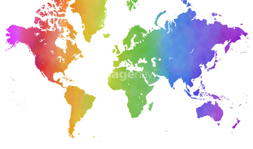
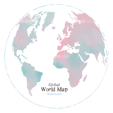
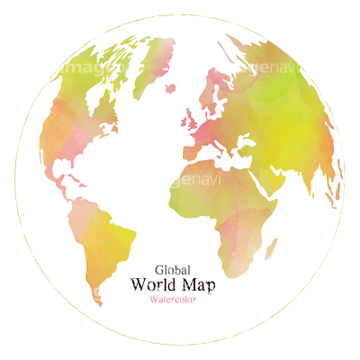
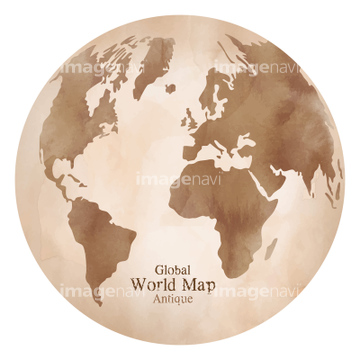
この検索結果には、水彩レインボーカラーの世界地図、世界地図、水彩風のおしゃれな世界地図、地球、水彩風おしゃれなアンティーク世界地図、地球、水彩 アンティーク世界地図 イラスト、水彩風 世界地図 イラストなどが含まれています。
41455543

31590444
41409990
41409991
41276899
41276903
41276448
41409988
41409989
41276898
41276902
41407977
41407978
41276449
41578825
64109407
41133920
20511984
20511992
20511996
41133921
41203895
20511993
20512041
41139708
31700334
31700335


51450278
20512020
20512035
20511995
64119860

20512033
20512036
20511980
20511991
17278548
64116140
30038110
41139707
30038094
31700330
31700331
41443257
41449257
31700328
31700329
41276896
41276900
31700332
31700333
41276446
41276445
41276447
30038098
31700327
64116145
64116152
20512023
20512025
41276897
41276901
41562516
41563483


19064927
19064932


51450260


64116174
64046158
64109416

41562840

41562842
41562843
41562844

41562845

41562846
41562847
41562848
64202148
30038122
30038108
41563005
30038102
41281113
64161939
64128633
30038115

64189692
64189693
30038085
| 次ページ |
