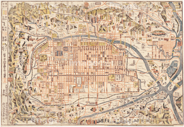
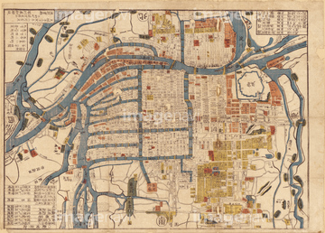
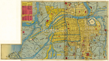
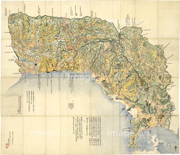
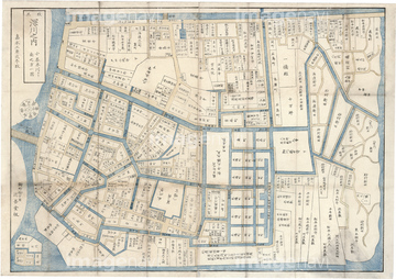
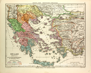
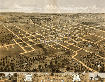
HOME > ژتگ^ > ڈو‚蕨پEŒً’ت > Œً’تƒCƒپپ[ƒW > ’nگ}
10,000Œڈ‚جژتگ^‘fچق‚ھŒںچُ‚³‚ê‚ـ‚µ‚½پB
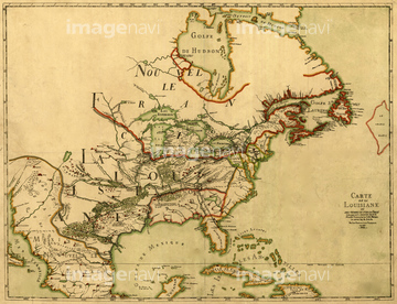
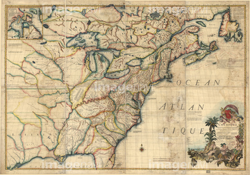
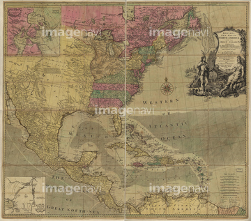
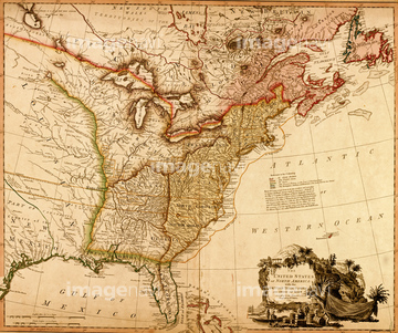
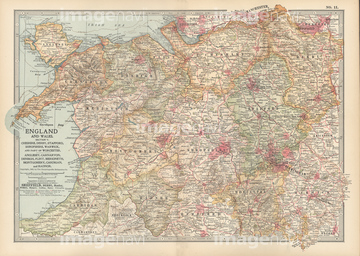
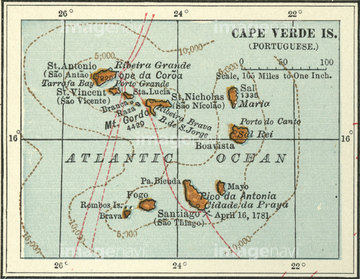
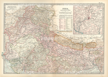
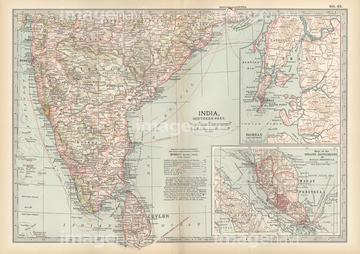
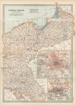
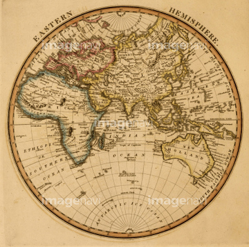
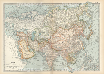
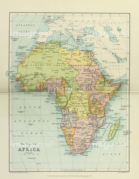
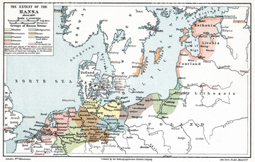
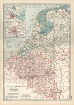
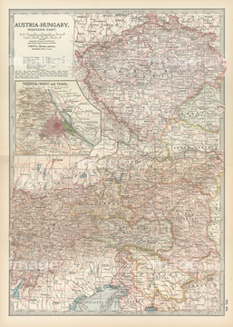
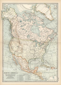
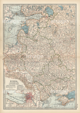
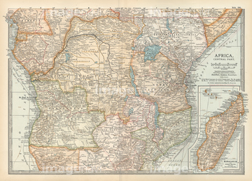
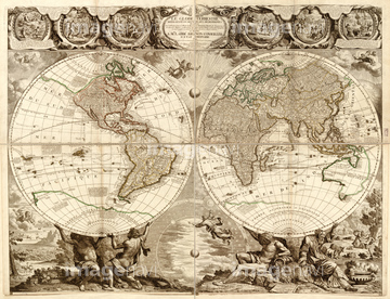
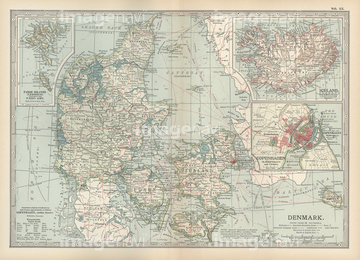
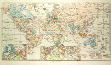
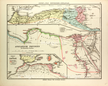
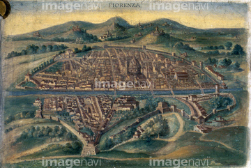
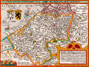
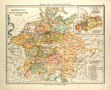
‚±‚جŒںچُŒ‹‰ت‚ة‚حپAŒأ’nگ}پAMap of England and WalesپAMap of Cape Verde IslandsپAMap of France Gallia AntiquaپAMap of Germany Germania AntiquaپAMap of Syria Mesopotamia Assyria‚ب‚ا‚ھٹـ‚ـ‚ê‚ؤ‚¢‚ـ‚·پB

51417134

64052691

64055079

64055082

64055073
51422391

70125589
51436298
51417171
51417192
70102712
51417160

51421621
51435807


64052702
51417161
51436907


64055074

64055075
70102711
64248563

64055076
51417168

64052698
51417199
30047317

51436381

51435745
70125587
51417148
51417150
51417164
51417182
51417184
51417190
51417194

51436390
51417145
51417293

51422840

51422841

51422842
51901558
51417165
51417174
51417175
51435749

51436268


51436271


64248562

51422778

51422780


51422774


51405937
11830054
11830094
11830095
11830105

51436380

51435744


51423095
12406251

51421922

51417149
51417178
51417285


51417154
51417162

51422839

51422843


64052655

64052692

51436864


51405939
51436241
51436392

51422887

51417146
51417158


51411448

51411513

51421923

51411465


51411449

51411504

51411511

51436216

51410014

51405944

11830098
11830099
11830102
51472437


64082666

51436261

51435746

51435748

10307301

10307315

10307323

10307351

10307356

10307357

10307360

10307362
51417237
51417238
51472460
51472461
51417176
51417320
14301074
14301075
14301076
14301077
51472420
64107450
64107451
64107452
64107453
64107454
51405220

51411445

51411446

51411447

51411453

51411454

51411455

51411456

51411466

51411467

51411469

51411470

51411503

51411516

51422943

51422944
51422969
51472415

51411457
| ژںƒyپ[ƒW |
