HOME > ژتگ^ > ƒrƒWƒlƒX > ƒrƒWƒlƒXƒCƒپپ[ƒW > ƒOƒچپ[ƒoƒ‹
10,000Œڈ‚جژتگ^‘fچق‚ھŒںچُ‚³‚ê‚ـ‚µ‚½پB
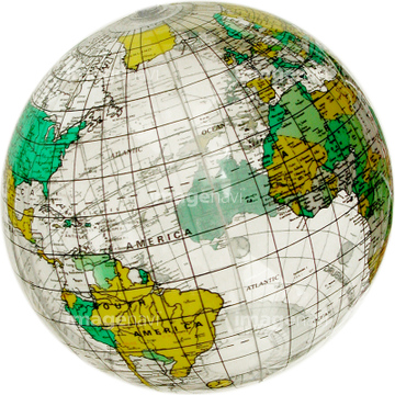
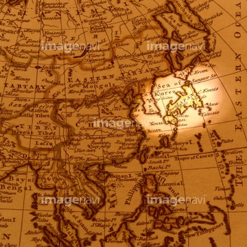
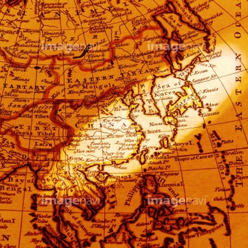
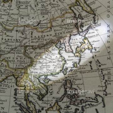
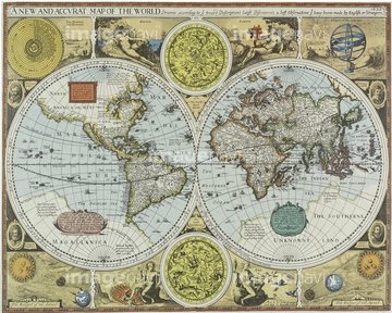
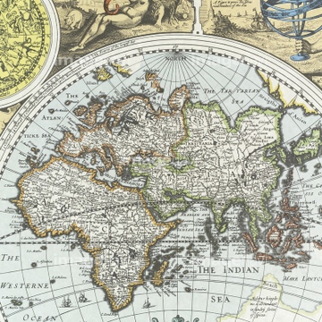
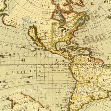
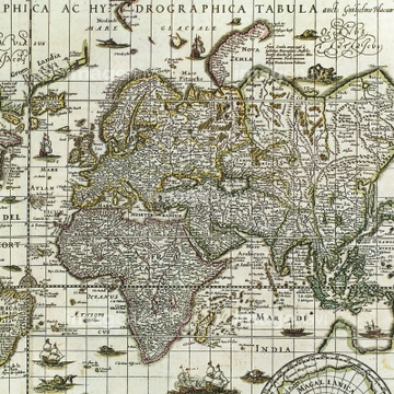
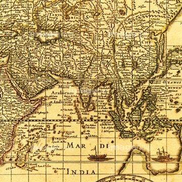
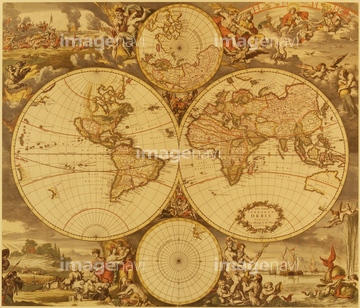
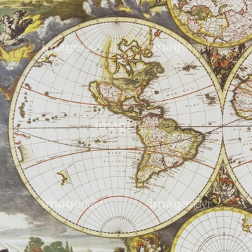
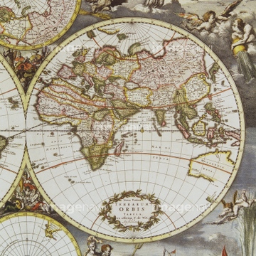
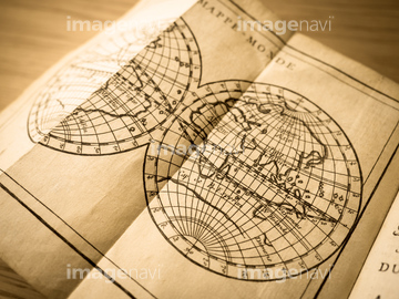
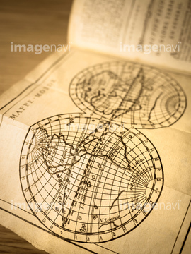
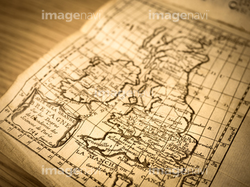
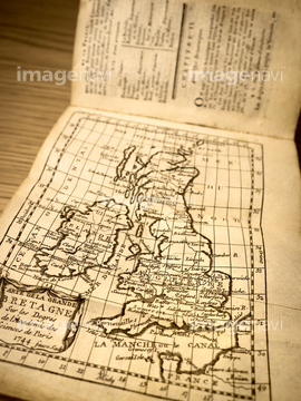
‚±‚جŒںچُŒ‹‰ت‚ة‚حپAƒAƒ“ƒeƒBپ[ƒN‚جŒأ’nگ}پ@ƒIƒ‰ƒ“ƒ_پAŒأ’nگ}پ@“Œ“ىƒAƒWƒAپAŒأ‚¢گ¢ٹE’nگ}پAƒAƒ“ƒeƒBپ[ƒN‚جگ¢ٹE’nگ}پAGlobe SurfaceپAƒCƒ“ƒh‚جŒأ’nگ}‚ب‚ا‚ھٹـ‚ـ‚ê‚ؤ‚¢‚ـ‚·پB

51424030


29204762

51497681
51497860

51424032
51426609
51423189
41088180
40557042
40557044
40560935
40560936
40560937
40560983
40560984
40560985
40560986
40560987
40583492

40583494
40561442
40561445

51426610


51497676

51497678


53101166

53101167
64083401

51497735

51497848
51425502
51426600

40544551
12406251

10122909

10307301

10307315
10307316
10307317

10307320

10307323
10307330

10307331

10307332

10307334

10307335

10307344

10307345

10307348

10307349

10307351

10307356

10307357

10307360

10307361

10307362
19283091
19283231
19283234

64149791
51425641
70272644
70272645
70272646
70272647
40560208
40534588
40561443

51424033

32659231
32659232


30386613
30386615
19283225
70283506
41088198
53101162
53101190
53136118
10307302
10307303
10307305
10307307

10307308
10307309

10307310
10307312
10307313
10307314
10307318
10307319
10307321

10307322
10307324
10307325
10307326
10307327
10307328
10307329

10307333
10307336
10307337
10307338
10307339
10307340

10307341
10307342

10307343
10307346
10307347

10307350

10307352

10307353

10307354

10307355

10307358

10307359
10307390
10307391
10307392
10307393
10307394

10307395
10307396
10307397
10307398
10307399
10307400
19286464
19283230

11504488
40561444

53121502
41099909
41099910
41099911
41099912
41099913
41099914
41099915
41099916
41099917
41099947

41099948

41099949
41099980
41099981
41099982
41421811
41455214
41455215
41455218
41455219
41455220
41455221
41455222
41455224

41455225
41455226
41455227
41455230
41455231
41455243
41455244
41455246
41455247
41455248
| ژںƒyپ[ƒW |
