HOME > ژتگ^ > ڈو‚蕨پEŒً’ت > Œً’تƒCƒپپ[ƒW > ’nگ}
10,000Œڈ‚جژتگ^‘fچق‚ھŒںچُ‚³‚ê‚ـ‚µ‚½پB
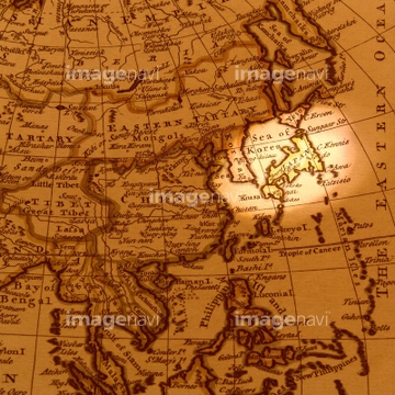
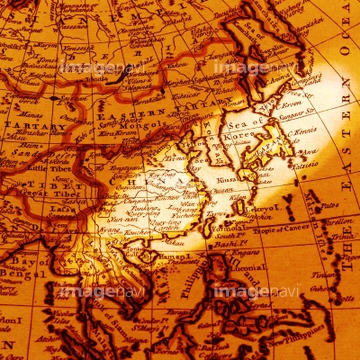
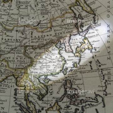
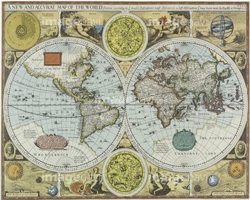
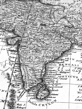
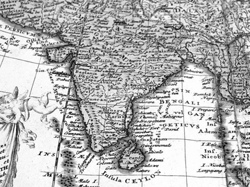
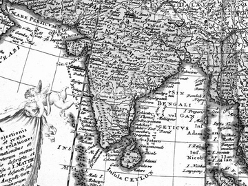
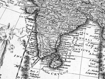
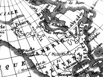
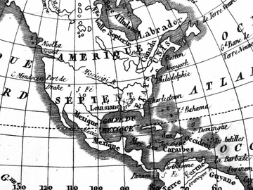
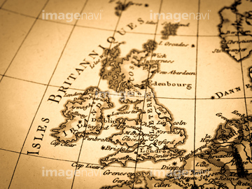
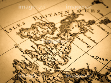
‚±‚جŒںچُŒ‹‰ت‚ة‚حپAƒAƒ“ƒeƒBپ[ƒN‚جگ¢ٹE’nگ}پAŒأ’nگ}پ@“Œ“ىƒAƒWƒAپAŒأ‚¢گ¢ٹE’nگ}پAŒأ’nگ}پAŒأ’nگ}ƒCƒپپ[ƒWپAGlobe Surface‚ب‚ا‚ھٹـ‚ـ‚ê‚ؤ‚¢‚ـ‚·پB


51424030

53121502

51424032

51426610

51497240
40583492

40583494
40557042
40557044
40560935
40560936
40560937
40560983
40560984
40560985
40560986
40560987
40561442
40561445
51426609

64083401

64149791
70272644
70272645
70272646
70272647

51424033

10307322

64041592

40544551
51425502
51426600

10307332

10307334

10307301

10307315
10307316
10307317

10307320

10307323
10307330

10307331

10307335

10307344

10307345

10307348

10307349

10307351

10307356

10307357

10307360

10307361

10307362
12406251

10122909
19283091
19283231
19283234
51425641
53121115
40561444
19283225
70283506
64045818
51980256

10307333
10307302
10307303
10307305
10307307

10307308
10307309
10307310
10307312
10307313
10307314
10307318
10307319
10307321
10307324
10307325
10307326
10307327
10307328
10307329
10307336
10307337
10307338
10307339
10307340

10307341
10307342

10307343
10307346
10307347

10307350

10307352

10307353

10307354

10307355

10307358

10307359
10307390
10307391
10307392
10307393
10307394

10307395
10307396
10307397
10307398
10307399
10307400
51424454
64059896

19286467
41421458
41421459
41421460
41421465
41421467
41421470
41421472
41421473
41421497
41421498
41421499
41421500
41421501
41421502
41421503
41421504
41421505
41421506
41421507
41421530
41421570
41421571
41421578
41421579
41421602
41421603
41421606
41421607
41421608
41421623
41421624
41421625
41421626
41421685
41421686
41421687
41421688
41421697

41421698
41421699
41421715
41421730
41421731
41421736
41421737
41421803
41421804
41421805

41421806
41421807
41421808
41421811
41421817
41421818
41421819

41421823
41421824
41421825
41421826
41421827
41421828
41421829
41421830
41421831
| ژںƒyپ[ƒW |
