HOME > 写真 > 地図・衛星写真 > 衛星写真 > 地球
10,000件の写真素材が検索されました。
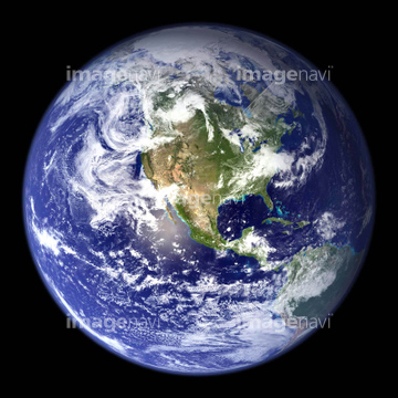
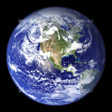
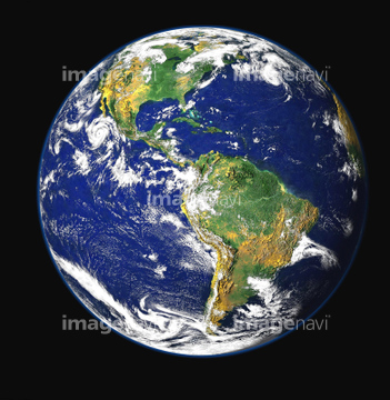
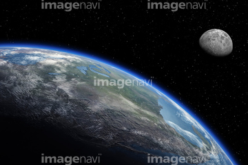
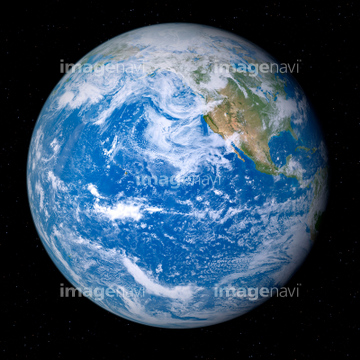
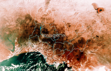
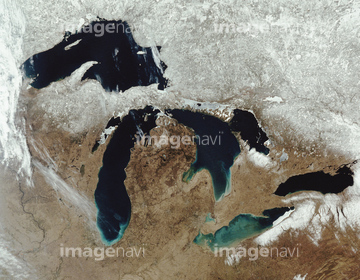
この検索結果には、宇宙から見た地球(NASA提供)、地球(NASA提供)、Globe with South America prominent (Digital Compos…、Earth from space, artwork、Satellite mosaic of Nigeria、The five great lakes in the us and canada, satelli…などが含まれています。
51424877

64053386
64052747
64052748
30080569
51425634
64049177
64049179
64049181
99046196
99046197

64011214

64011231
64056227
64078175
00008404
99046025
99046141
30074277
64049176
64049178
64049180
17263982
17263983
17263984
17263986
30074280

64053256

64053260
64081457
99021001
99021002
99021003
99021004
99021005
99021006
99021007
99046199
30091895
64053374
64053373
64049175
64049183
64049185
64048954
64049203
64049220
64058834
99046047
64011212
99021013
99021017
99046001
99046027
99046028
99046029
64053727
64052751
64015579
64015580
64015581


64075684
64048955
64048956
64048957
64048958
64053473
64078176
30314027
64049174
64049182
64049184
64048952
64048953
64049198
64049202
64049204
64049197
17262379
17262380
17262381
17263966
17263968
17263973
17263974
17263975
17263976
17263977
17263978
17266918
17266919
00008412
99046086
99046133
99046138
17212848
99021016
64052746
17211247
00008416
64081459
64014672

64072491


30312462
64043660
64043661
00008400
00008401
99046004
99046005
99046007
99046009
99046017
99046022
99046026
99046036
99046040
00008399
64052749


64052761
64053694
30314026
00008402
99046034
99046038
64011191
64011196
99046003
99046008
99046014
99046019
99046067
17231399
64059207
30046966
64078180
64048959
64048960
64048961
00008417
64111791

64111792
64025789
30318480
64094267
64094269
64094283

64041345
70093226
99021022
30307954
10994719
99046109
64049196

17200234
17262369
17262370
17262371
51425288
64075795
99046071
99046191
99046192
99046193
| 次ページ |
