HOME > ژتگ^ > ڈو‚蕨پEŒً’ت > Œً’تƒCƒپپ[ƒW > ’nگ}
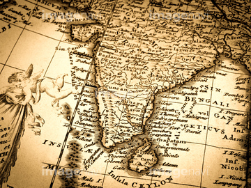
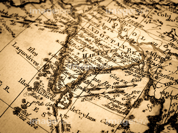
10,000Œڈ‚جژتگ^‘fچق‚ھŒںچُ‚³‚ê‚ـ‚µ‚½پB
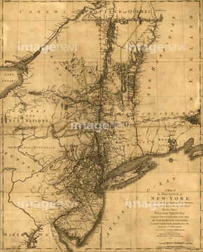
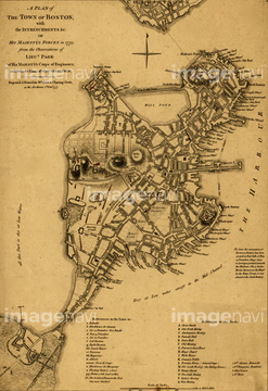
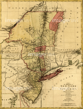
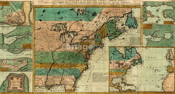
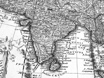
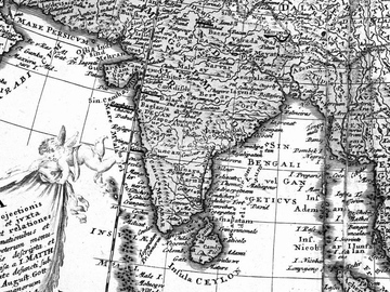
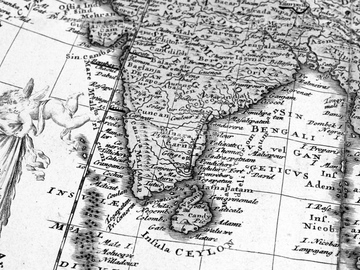
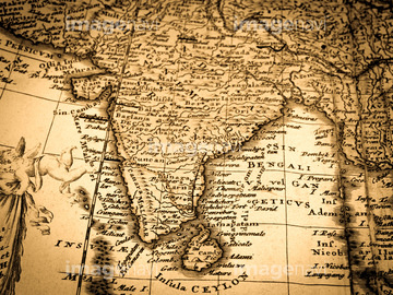
‚±‚جŒںچُŒ‹‰ت‚ة‚حپANorth America - 1758پAMexico & California - 1742پANorthern Hemisphere - 1750پACanada to Louisiana, Eastern USA - 1756پABrazil - 1719پASouthern Countries of South America - 1733‚ب‚ا‚ھٹـ‚ـ‚ê‚ؤ‚¢‚ـ‚·پB
51435521
51436313

64055078
51436022


64052655
51436011

51436222

51405937

51435908
51436354

64052691

51436314
51436062

51405944
51436213
51436215
51436218
51436219
51436221
51436244
51436250
51436252
51436310
51436316
51436323
51436324
51436007


51436365
51436128
51436321
51435545
51435999
51436003
51436005

51436008
51436032
51436036
51436060
51436075
51436076
51436077
51436114
51436115
51436152
51436170
51436247
51436291
51436397
51436400
51436403
51436405
51437236
51436387
51436392

51422774
51437069
51435538
51435529

64055081

64052692

51422778

51436129
51436284
51436289

51436381
51436382

51435745

64055074
51436224
51436225
51436248
51436251
51437249
51430902
51435536
51435553
51435567
51437090
51436698
51492538

51435844

64055077
64084135
51435876

51436130
51437081
51436907
51437073
51437077
51437082
51436027
51436054

51436064
51436245
51436402
51436413
51436874
51436899
51436904
51436908

51436911
51436912
51436913
51437076
51437141
51437142

51437213

40544551

64055075


64055073
51436383

51436182

51436353
51436352

51421920
51436318
41421497
41421498
41421499
41421500
41421501
41421502
41421503
41421504
41421506
41421507
41421530
41421824
41421825
41421826
| ژںƒyپ[ƒW |
