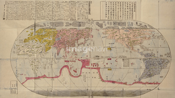
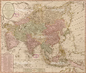
HOME > ژتگ^ > ڈو‚蕨پEŒً’ت > Œً’تƒCƒپپ[ƒW > ’nگ}
10,000Œڈ‚جژتگ^‘fچق‚ھŒںچُ‚³‚ê‚ـ‚µ‚½پB
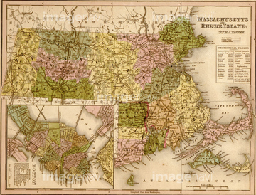
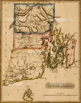
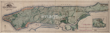
‚±‚جŒںچُŒ‹‰ت‚ة‚حپACorse 1850پAGironde 1850پAMartinique 1850پAMassachusetts & Rhode Island - 1844پARhode Island - 1817پAManhattan Island - 1844‚ب‚ا‚ھٹـ‚ـ‚ê‚ؤ‚¢‚ـ‚·پB
51435523
51435517
51435522
51422777
51435525
51435516
51435528
51436324
51435530
51435532
51435533
51435534
51435542
51435543
51435555
51435547
51435513


51435558

51435559

51435560

51435561

51435562
51437249
51435830

51435838
51435907
51435909
51436320
51436322

51436349
51436355


51422778
51436136

51435514
51435515
51436906
51435541
51435545

51414341

51414346

51414362
51435853
51435786

51435856

64052702
51436693
51435778


51435529

51435535
51435536
51435538

51414342

51414345

51414352

51435752
51435804
51435805
51435809
51435811
51435814
51435825
51435827
51435833
51435845
51435847
51435852
51435859
51435867
51435870

51435872

51435873
51435879
51435883
51435885
51435889
51435890
51435891
51435892

51435894
51435895
51435896
51435897
51435903
51435911
51435912
51436001
51436059
51436073
51436081
51436083
51436084
51436085
51436088
51436089
51436097
51436101
51436103
51436104
51436109
51436110
51436159
51436328
51436330
51436332
51436334
51436335
51436336
51436337

51436339
51436340
51436341
51436342
51436346
51436347
51436348
51436358
51436374

51436419

51436420
51436642

51436651
51435844
51435876
51436208

51436216

51436223

51436304
51436305
51436311

51436351
51436352
51436353
51436828

51435518
51435520
51435570
51435548
51435540

51414338

51414340

51414344

51414347

51414348

51414353

51414354

51414355

51414356

51414358

51414359

51414360

51414421

51414422

51414423

51414424

51414425

51414429

51414430

51414432

51414433

51414434

51414435

51414436

51414437

51414438

51414439

51414440

51414441

51414442
51435544
51436634
51902245
51436788

51414339

51414343

51414349
| ژںƒyپ[ƒW |
