HOME > 写真 > 地図・衛星写真 > 古地図 > 日本の古地図
10,000件の写真素材が検索されました。
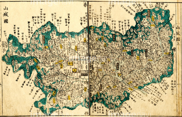
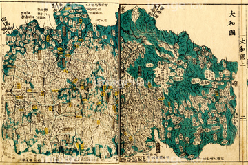
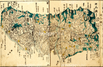
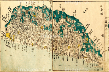
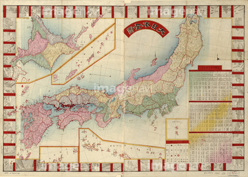
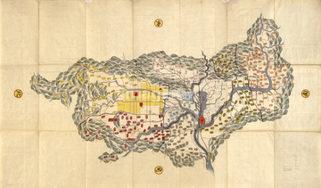
この検索結果には、国郡全図 日本国総図、国郡全図 山城国、国郡全図 大和国、国郡全図 河内国、国郡全図 和泉国、国郡全図 摂津国などが含まれています。
51435549
11830110
11830111
11830112
11830113
11830114
11830115
11830116
11830117
11830118
11830119
11830120
11830121
11830122
11830123
11830124
11830125
11830126
11830127
11830128
11830129
11830130

11830131
11830132
11830133
11830134
11830135
11830136
11830137
11830138
11830139
11830140
11830141
11830142
11830143
11830144
11830145
11830146
11830147
11830148
11830149
11830150
11830151
11830152
11830153
11830154
11830155
11830156
11830157
11830158
11830159
11830160
11830161
11830162
11830163
11830164
11830165
11830166
11830167
11830168
11830169
11830170
11830171
11830172
11830173
11830174
11830175
11830176
11830177
11830178
11830179
11830180
11830098
11830099
11830102
11830052
11830051
11830053

11830093
11830100
11830101

11830103
11830104
51435525
11830054
11830094
11830095
11830105
51435528
51435522
51435576
51435583
51435614
51435625
51435638
51435640

51411503

51436419


51422839

51422840

51422841

51422842

51422843
51435842

51417134
51435575
51435598
51435631

51435856
51435816
51435523
51436140


51411444

51411445

51411446

51411447

51411448

51411449


51411451

51411452

51411453

51411454

51411455

51411457


51411459

51411460

51411461

51411462

51411463

51411464

51411465

51411466

51411467

51411468

51411469

51411470

51411502

51411504

51411505

51411506

51411508

51411509


51411511

51411512

51411513


51411516

51411517

51411518

51411519

51411520

51411521

51411522

51411523

51411524
51902335
51422779
51417145
51417148
51417149
51417150
51417154
51417164
51417165
51417168
51417171
51417175
51417178
51417182
51417184
51417190
51417192
51417194
51417285
51417293
51472437
51436142

51422780
51435570
51435577
51435578
51435579
51435582
51435585
| 次ページ |
