HOME > ژتگ^ > ڈو‚蕨پEŒً’ت > Œً’تƒCƒپپ[ƒW > ’nگ}
10,000Œڈ‚جژتگ^‘fچق‚ھŒںچُ‚³‚ê‚ـ‚µ‚½پB
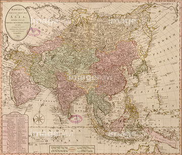
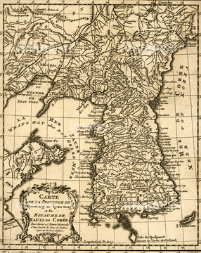
‚±‚جŒںچُŒ‹‰ت‚ة‚حپAPlan of Guantanamo Bay, Cuba - 1751پAMap of South East Asia 1602پAKorean Peninsula 1873پAPorcelain plat map of Japan 1835پAHokkaido, Japan 1854پAAfghanistan & the approaches to India 1900‚ب‚ا‚ھٹـ‚ـ‚ê‚ؤ‚¢‚ـ‚·پB
51435536
51435538
51435529

51435535
51435545

51435514
51435515
51436244

51436291

64055078
51435553
51436310
51436323
51436316
51436387


51437249

64052691

51405937

51405944

64052655
51435517
51436284
51435522
51435528

51436011

51411446

64052692
51435521
51436213
51436215
51436218
51436219
51436221
51436222
51436250
51436252
51436313
51436324
51436405
51436003
51436077

51411512
51435555
51435548
51435525
51435518
51435520

51435745

51436381
51436382

64055077
51430902
51436027
51436314
51436321
51435999
51436005

51436007
51436008
51436022
51436032
51436036

51436060
51436062
51436075
51436076
51436114
51436115
51436152
51436170
51436247
51436397
51436400
51436403
51437236

51436216


51411456
51435542

51421879

51421880

51411445

51411447

51411453

51411454

51411455

51411466

51411467

51411469

51411470

51411503

51411516

51411448

51411457

51411459

51411468

51411505

51411506

51411508

51411509

51411513

51411523

51411524

51411465

51411449

51411452


51411461

51411462

51411464

51411502

51411504

51411511


51411517

51411518

51411519

51411520


64055073
51435516
51435523

51435558

51435513


64055074

51424033

51436304
51436305
51436307
51436309
51436311

51436315
51436351

51405939
51436353

51405927
51436141

51436182
51436352


51436289


51436365


51411444
51436383

51436392
51435543
51435567
51436128
51436224
51436225
51436248
51436251

51436911
51436912
51437090
51436904
51436899
| ژںƒyپ[ƒW |
