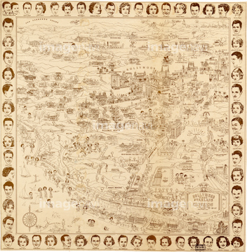
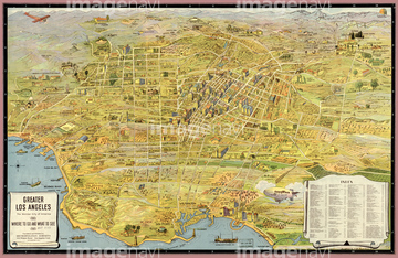
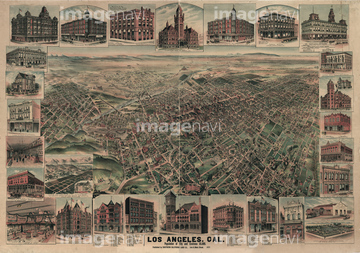
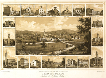
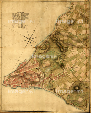
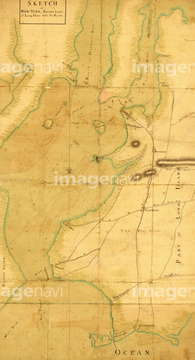
HOME > ژتگ^ > ڈو‚蕨پEŒً’ت > Œً’تƒCƒپپ[ƒW > ’nگ}
10,000Œڈ‚جژتگ^‘fچق‚ھŒںچُ‚³‚ê‚ـ‚µ‚½پB
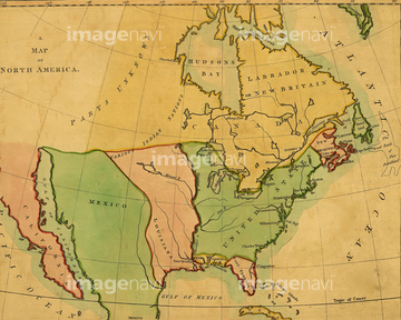
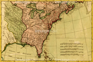
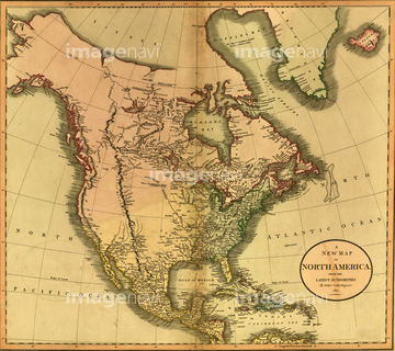
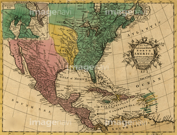
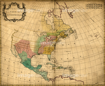
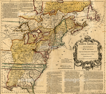
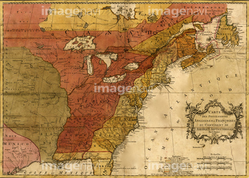
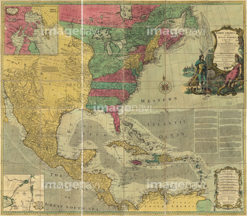
‚±‚جŒںچُŒ‹‰ت‚ة‚حپAŒأ’nگ}پAŒأ’nگ}ƒCƒپپ[ƒWپAOregon - 1876پAWestern hemisphere, 1786پAƒCƒ“ƒh‚جŒأ’nگ}پANational Map of the Territories of the United Statپc‚ب‚ا‚ھٹـ‚ـ‚ê‚ؤ‚¢‚ـ‚·پB
51435654
51435580
51436663
51436666

10307361
51435582

10307332

10307334

10307348

10307362
51435696


51435653


10307341

10307350

10307352
19283223
19283224

51436419

51436420

51436651
51435804
51435852
51435859
51435867
51435870

51435872

51435873
51435879
51436001
51436642
51436829
51436738
70125588


51436694

51435781

10307320
10307321

10307322
10307327
10307338
10307346
10307347

10307355
51436831

64055075

10122909
19283226
19283282


51436692
51435668
51435669
51435672
51435675
51435680
51435685

51435692
51435693
51435706
51435815
51435821
51435853
51435854
51435855
51435858
51435861
51435862
51435863
51435864
51435869
51435999
51436000

51436003
51436004
51436005

51436007
51436008
51436011


51436021
51436022

51436026
51436034
51436036


19283225
51436080
51436114
51436115
51436032

51435637
51436737
51436774

51436808
51436894
51437081
51435651

51436107
51436059
51436073
51436081
51436083
51436084
51436085
51436088
51436089
51436097
51436101
51436103
51436104
51436109
51436110
51435809
51435811
51435847
51436148
51436163
51436421
51436464
51436471
51436485
51436500
51436503
51436547

51436668
51436706
51436728
51436755
51436775
51436788
51436795
51436796
51436797
51436826
51436828
51436830

51436875
51436884
51436885
51436886
51436887
51436902
| ژںƒyپ[ƒW |
