HOME > ژتگ^ > ڈو‚蕨پEŒً’ت > Œً’تƒCƒپپ[ƒW > ’nگ}
10,000Œڈ‚جژتگ^‘fچق‚ھŒںچُ‚³‚ê‚ـ‚µ‚½پB
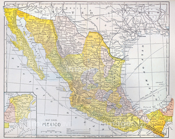
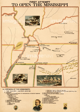
‚±‚جŒںچُŒ‹‰ت‚ة‚حپAMcClellan's 1st Advance on Richmond 1898پAGrants Advance of Richmond 1898پAOrganization & Development of the United States 18پcپAENGLAND: MAP OF OXFORD.پAMexico & California - 1742پAMexico in 1682 pictorially 1682‚ب‚ا‚ھٹـ‚ـ‚ê‚ؤ‚¢‚ـ‚·پB
51435715
51435709
51435712
51435714
51435824
51436103
51436034
51436081
51436082
51436108
51436326
51435708

51435710
51435717


51494886
51435711
53100775
51436083
51436084
51436085
51436086
51436087
51436088
51436089
51436090
51436091
51436092
51436093
51436095
51436096
51436097
51436098
51436099
51436100
51436101

51436102
51436104
51436106
51436109
51436110
51436642
51436699
51435960
51435976
51435994
51914207
51436032

51436111
51436113
51435970
51435978
51436631
51436675

51430930
51436107
51435742
51435821
51436059

51435995
51436080

31161985
51436033
51436094
51436105
51436036
51436114
51436115
51436288
51435959
51435964
51435967
51435993
51435778
51436796
51435814
51435823
51435825
51435883
51435885
51435886

51436328
51436330
51436331
51436332
51436371
51436374
51435805

64055075


51435781

51435699
51435809
51435810
51435811
51435815
51435847
51435852
51435853
51435854
51435855
51435858
51435859
51435861
51435862
51435863
51435864
51435867
51435869
51435870

51435872

51435873
51435879
51436000
51436001
51436004
51436073

51436419

51436420


51436651
51436663

51435668
51435672
51435675
51435680
51435685

51435692
51435693
51435706
51435804

31161983

31161984

31161986
51417253
51906179
51435969


51436058
51436063
51436072

51436280
51436060

51436074
51436076
51436077
51436014
51435881
51907562
51436169
51435563

21236184
52211306
51497007
51435956
51436386

51421894
| ژںƒyپ[ƒW |
