HOME > ژتگ^ > ڈو‚蕨پEŒً’ت > Œً’تƒCƒپپ[ƒW > ’nگ}
10,000Œڈ‚جژتگ^‘fچق‚ھŒںچُ‚³‚ê‚ـ‚µ‚½پB
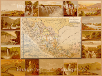
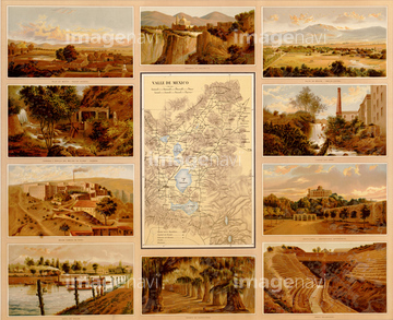
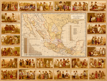
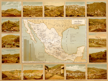
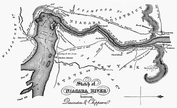
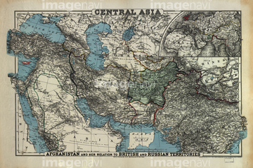
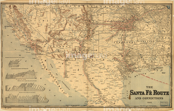
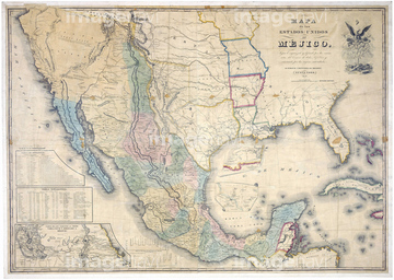
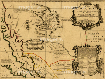
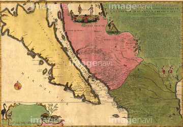
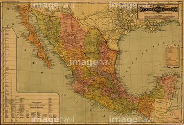
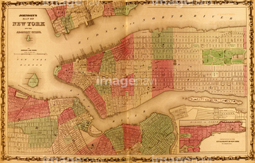
‚±‚جŒںچُŒ‹‰ت‚ة‚حپAMAP: NIAGARA RIVER.پACentral Asia 1885پASante Fe Route into Mexico - 1888پAManhattan Island - 1844پAMap of the United States of Mexico, 1847پAMexico & California - 1742‚ب‚ا‚ھٹـ‚ـ‚ê‚ؤ‚¢‚ـ‚·پB
51435717
51435711
51435709
51435712
51435714
51435708

51435710
51435715
51435824
51436103
51436034
51436081
51436082
51436108
51436326


51436107
51906179
51436083
51436084
51436085
51436086
51436087
51436088
51436089
51436090
51436091
51436092
51436093
51436095
51436096
51436097
51436098
51436099
51436100
51436101

51436102
51436104
51436106
51436109
51436110
51436642
51436699
51436675
51914200
51435563
51436113

51435856
51436032

51436111
51417253
51436631
51904034
51435575
51435598
51435631
51435689
51436288
51436601
51435778
51435742
51435881
51436691
51435814
51435821
51435823
51435825
51435883
51435885
51435886
51436059

51436328
51436330
51436331
51436332
51436371
51436374
51435805

64052655


64055083


51436386
51436033
51436094
51436105
51436253
51436254
51436255
51436036
51436114
51436115
51436080
51436796
51435816
51435904

51435908
51436354
51436599
51436634
51436638
51435525
51435547
51436169
51904227
51901003


64055075
51435707
51904283
51906140
51436053

64052693
51436385
51930910

51435930

51436229
51426600

51411444

51411445

51411446

51411447

51411448

51411449

51411451

51411452

51411453

51411454

51411455

51411457


51411459

51411460

51411461

51411462

51411463

51411464

51411465

51411466

51411467

51411468

51411469

51411470

51411502

51411503

51411504

51411505

51411506

51411508

51411509


51411511

51411512

51411513


51411516

51411517

51411518

51411519

51411520

51411521

51411522

51411523

51411524
51435807
51435809
51435810
51435811
51435813
51435815
51435817
51435818
| ژںƒyپ[ƒW |
