HOME > ژتگ^ > ڈو‚蕨پEŒً’ت > Œً’تƒCƒپپ[ƒW > ’nگ}
10,000Œڈ‚جژتگ^‘fچق‚ھŒںچُ‚³‚ê‚ـ‚µ‚½پB
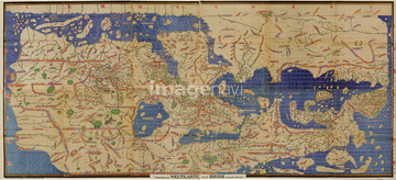
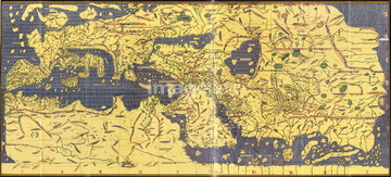
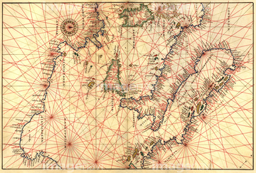
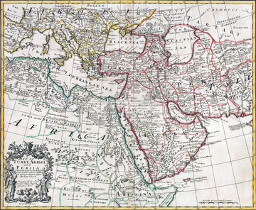
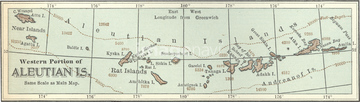
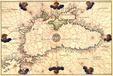
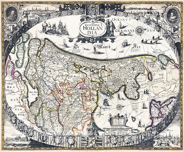
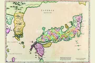
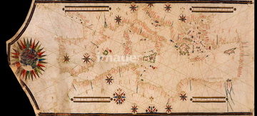
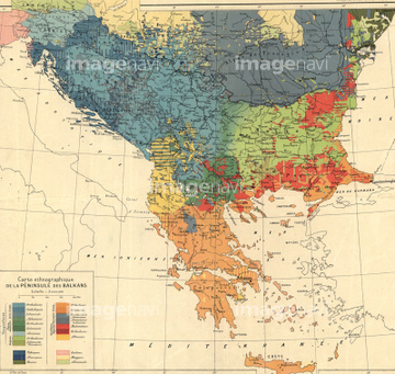
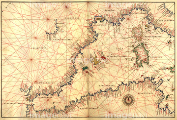
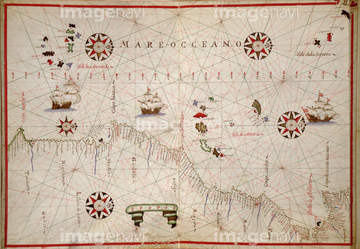
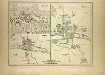
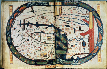
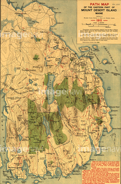
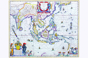
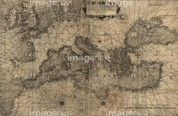
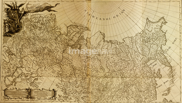
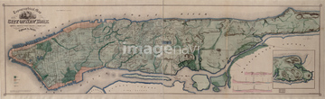
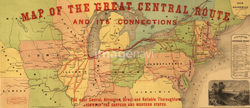
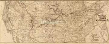
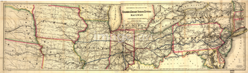
‚±‚جŒںچُŒ‹‰ت‚ة‚حپAMap of Southern MexicoپAMap of WorldپAPortolan or Navigational Map of the Black Sea showپcپAMap of Holland.پAJapan & Korea 1655پAMap of Grenada, New Andalucia and Guyana‚ب‚ا‚ھٹـ‚ـ‚ê‚ؤ‚¢‚ـ‚·پB
51435743


51436205
51422966


51437221

51904110

51426610

64055073

51492538

51435746

51435748

51436206
51437232
51902209

51430892

51421916

51435744


64082692

51437213
51437259

64055079

51421877

51421879

51421880

51421883

51421884

51421885

51421888

51421894

51421895

51421896

51421897

51421898

51421899

51421904

51421905

51421906

51421922
51492537
51437255


51421920

51430872
64083431


51421923

64055074

64055075
51932222

51421890

51421900

51421902

51421921

51421882
51421892


51430889
51492549

51421889

51421891

51421901


51421907

64052655

64052693


51938834


51436638

51411464

64052702


51421919

51421917
64083484
51436416
53116019
51430906

51436690
51430893

64055077
51437257

51411448

51411513


64055083
53119105

64055078

64052692
51436242

51411465

51411449

51411504

51411511


51436216
51436244
64082614
64082723
64083402


64052701

51436011
51430895

51430900
51430902
51430884

51436129


51405937


51436225
51436693
51436752
51436803
51436820
51436837
51436843
51435632
51437218
51436745
51436833
51421908
51437253

51422840
| ژںƒyپ[ƒW |
