HOME > ژتگ^ > ڈو‚蕨پEŒً’ت > Œً’تƒCƒپپ[ƒW > ’nگ}
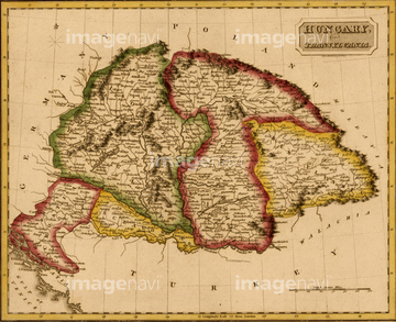
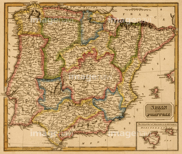
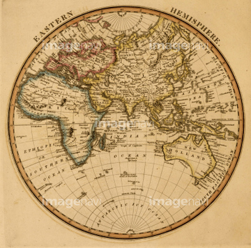
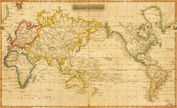
10,000Œڈ‚جژتگ^‘fچق‚ھŒںچُ‚³‚ê‚ـ‚µ‚½پB
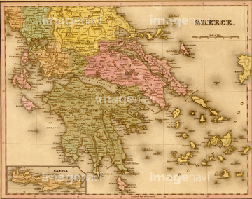
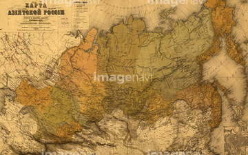
‚±‚جŒںچُŒ‹‰ت‚ة‚حپAVaucluse 1850پAVosges 1850پAParis 1850پAParis - Capitale de la France 1850پAAlgerie 1850پASenegambie 1850‚ب‚ا‚ھٹـ‚ـ‚ê‚ؤ‚¢‚ـ‚·پB
51435753

51435752
51435827
51435754
51435755
51435761
51435889
51436334
51435764
51435766
51435757
51435767
51435763
51435756
51435760
51435759
51435762
51435765

51435749

51435750
51435751
51435758
51435890
51436335

51414341

51414342

51414345

51414346

51414352

51414362

51435778
51435768
51436292


51437242

51414338

51414339

51414340

51414343

51414344

51414347

51414348

51414349

51414350

51414351

51414353

51414354

51414355

51414356

51414357

51414358

51414359

51414360

51414361

51414421

51414422

51414423

51414424

51414425

51414426

51414427

51414428

51414429

51414430

51414431

51414432

51414433

51414434

51414435

51414436

51414437

51414438

51414439

51414440

51414441

51414442
51435891
51435892

51435894
51435895
51436336
51436337

51436339
51436340
51435769
51435775
51435784
51435785
51435791
51435797

51435781
51435771
51435777
51435782
51435786
51435789
51417137
51417138
51435776
51435600
51435609

51436425

51437236
51435835
51435840
51435900
51436288
51436345
51466414
51435830
51435833
51435896
51435897
51435903
51435907
51435912
51436341
51436342
51436346
51436347
51436348

51436349
51422391
51906139
51435772
51435780
51435787
51435790
51435792
51435793
51435796
51435799
51435800

64055079

64055083

64055074

64055075
51435773
51435774
51435779
51435788
51435794
51435795
51435801
10307329
51428838
51428839
51428840
51428841
51428842
51428843
51428844
51428845
51428846
51428847
51428848
51428849
51428850
51428851
51428852
51428853
51428854
51428855
51428856
51428857
51428858
51428859
51428860
51436293

51436648
51435783
51435798


51435770
51435826
51435831
51435888
51435893
51435905
51436208

51436216
| ژںƒyپ[ƒW |
