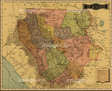
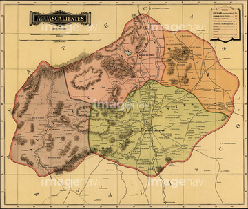
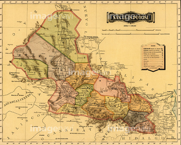
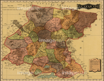
HOME > ژتگ^ > ڈو‚蕨پEŒً’ت > Œً’تƒCƒپپ[ƒW > ’nگ}
10,000Œڈ‚جژتگ^‘fچق‚ھŒںچُ‚³‚ê‚ـ‚µ‚½پB
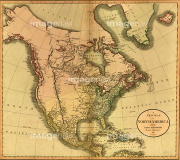
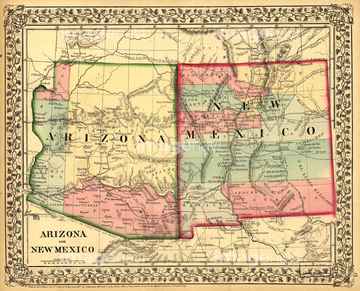
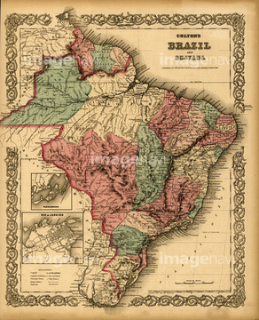
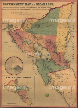
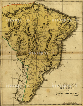
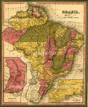
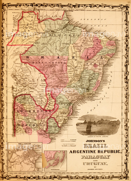
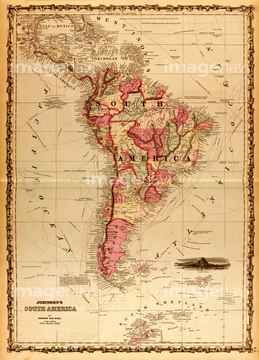
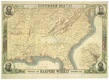
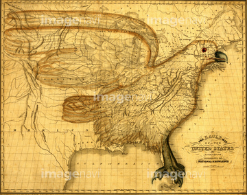
‚±‚جŒںچُŒ‹‰ت‚ة‚حپALouisiana - 1844پANorth America - 1803پANorth America -1811پAArizona & New Mexico - 1867پANicaragua &Central America, Mexico, isthmus of PanپcپABrazil - 1871‚ب‚ا‚ھٹـ‚ـ‚ê‚ؤ‚¢‚ـ‚·پB
51435804
51435612


51436419

51436420

51436651
51435852
51435859
51435867
51435870

51435872

51435873
51435879
51436001
51436834
51436706


51435781


51436663

51435668
51435672
51435675
51435680
51435685

51435692
51435693
51435706
51435815
51435821
51435853
51435854
51435855
51435858
51435861
51435862
51435863
51435864
51435869
51436000
51436004
51436034

51436059
51436073
51436081
51436083
51436084
51436085
51436088
51436089
51436097
51436101
51436103
51436104
51436109
51436110
51436642
51435809
51435811
51435847
51435866
51436737
51436774

51436808
51436082
51436086
51436087
51436090
51436091
51436092
51436093
51436095
51436096
51436098
51436099
51436100

51436102
51436106
51436108
51436326

51436699
51435810

51435824
51436633
51436421
51436464
51436471
51436485
51436500
51436503
51436547

51436728
51436738
51436755
51436775
51436788
51436795
51436796
51436797
51436826
51436828
51436829
51436830
51435778

51422778
51436159
51436320
51436322
51436328
51436330
51436332
51436334
51436335
51436336
51436337

51436339
51436340
51436341
51436342
51436346
51436347
51436348

51436349
51436355
51436358

51436374

51435752
51435805
51435814
51435825
51435827
51435830
51435833

51435838
51435845
51435883
51435885
51435889
51435890
51435891
51435892

51435894
51435895
51435896
51435897
51435903
51435907
51435909
51435911
51435912

51436542
51436543
51436565
51436577
| ژںƒyپ[ƒW |
