HOME > ژتگ^ > ڈو‚蕨پEŒً’ت > Œً’تƒCƒپپ[ƒW > ’nگ}
10,000Œڈ‚جژتگ^‘fچق‚ھŒںچُ‚³‚ê‚ـ‚µ‚½پB
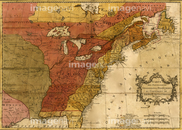
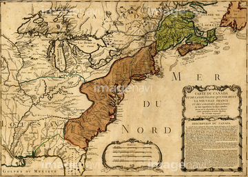
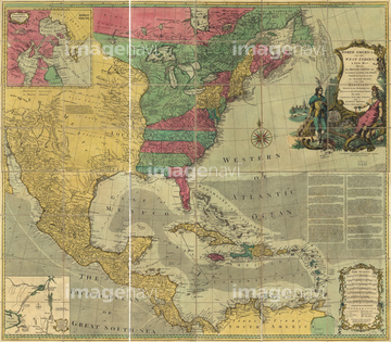
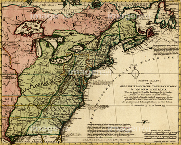
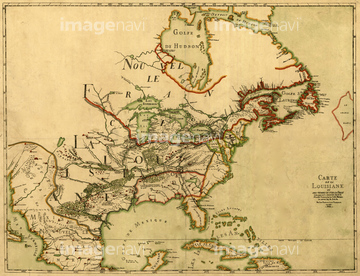
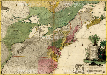
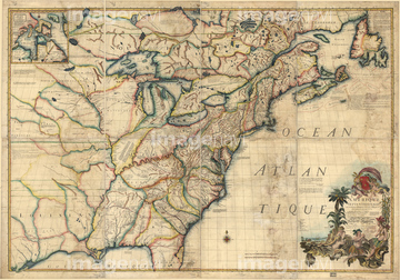
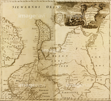
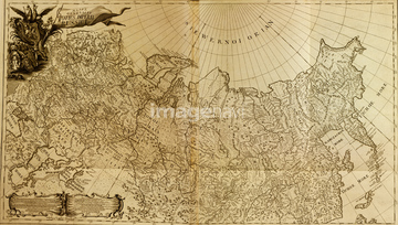
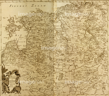
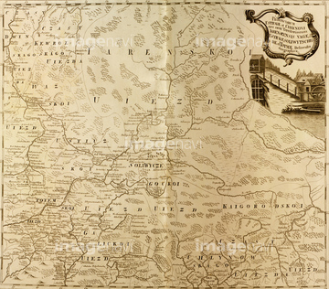
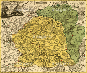
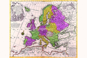
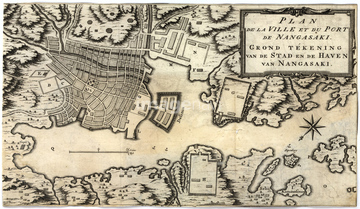
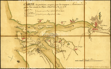
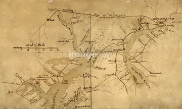
‚±‚جŒںچُŒ‹‰ت‚ة‚حپAIreland - 1750پAPlan of the City of New York 1766پAMap of the Most Inhabited Part of New England 1774پAMost Inhabited Part of Virginia 1775پASiberia, Russia - 1706پASt. Petersburg, Russia - 1703‚ب‚ا‚ھٹـ‚ـ‚ê‚ؤ‚¢‚ـ‚·پB


51436003

51436011
51435999
51436005
51436008
51436007
51436022
51436027

51436250
51436036

51436291
51436397
51436698
51436032
51436060
51436062
51436075
51436076
51436077
51436114
51436115
51436284
51436289

51405937


51405944
51436213
51436215
51436218
51436219
51436221
51436222
51436244
51436247
51436252
51436400
51436403
51436405
51437236

51437213
51435553
51430902
51436000
51436004
51436668
51436907

51421896
51437073
51436899
51436904
51436908

51436911
51436912
51436913
51437069
51437076
51437090
51437141
51437142
51436152
51436170
51436310
51436313
51436316
51436323
51436324
51435521
51436001
64055080
51436402


51435863


51436894
51437081

51436399

51436875
51436884
51436885
51436886
51436887
51436902
51436906
51437075
51437077
51437079
51437082
51437084
51437096
51437110
51437153
51437154
51436054

51436064
51436874

64055075
51435809
51435847
51436314
51436321
51435545

51436381
51436382
51436387
51436392

51435745

64055078

64052655
51436224
51436225
51436245
51436248
51436251
51436413
51435567

40544551

51436386
51436014

51405941
64083403
| ژںƒyپ[ƒW |
