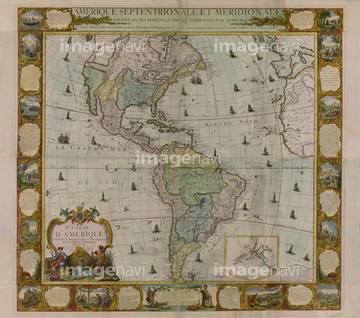
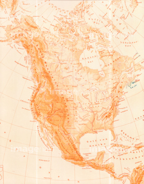
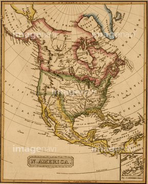
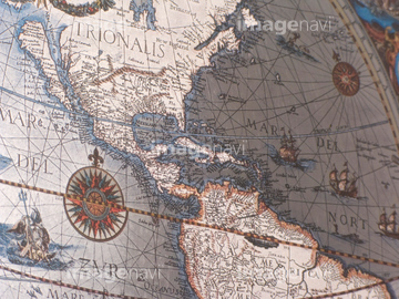
North America Divided into it 3 Principal Parts
America Divided amongst Claimants - 1694 1694
North America - 1763
North America - 1803
North America -1811
North America - 1758
French View of North America - 1762
British & French Claims to North America - 1756
English & French Possessions in North America - 1763
Spanish North America, 1600
North America & the West Indies (Sean Just shift the map over to eliminate the white line) 1774
古地図
North America - 1826
Map of north america
Mediterranean Divied into its Principal Parts - 1685
View of York, Pennsylvania
British Territories in North America - 1784
British Empire in North America - 1783
America in 1754
All the New Discoveries of North America - 1802
North Carolina - 1844
America in the 17th Century - 1652
Map of British & French Settlements in America - 1755
British Doinions in Norther America from New Foundland to Carolina -1770's
古地図イメージ
North America - 1862
North America - 1844
French Exploration map of North America - 1896
Theatre of War in North America - 1755
Indian Tribes of North America 1836
English Claims to North America - 1755
Quebec, Canada & French North America - 1700
British Colonies in North America 1756
Great Britain & French Settlements in North America 1755
British and French dominions in North America -1755
Dominions of New Spain in North America - 1759
Mexico
River Systems of the United States - 1870
Coal Fields of the United States - 1870
Population Growth of the United States - 1830 to 1840
Fiscal Chart of the United States
United States - 1817
National Map of the Territories of the United States - 1867
Map of the United States, British Provinces & Mexico - 1818
Los Angeles - 1871
Willard's History of the United States - 1826
Superior Natonal Forest 1962
railroads and water courses in the United Sates & Canada.
Going to the Klondyke Game - 1897 1897
Cripple Creek, Colorado, 1896
Denver, Colorado 1907
Highlandville, Massachusetts, 1887
Webster, Massachusetts 1892
Henniker, New Hampshire 1889
Woodsfield, Ohio 1899
Pittsburgh & Allegheny Pennsylvania 1871
Royersford, Pennsylvania 1893
Shenandoah, Pennsylvania 1889
York, Pennsylvania 1879
New York - 1862
Nebraska, Colorado & Kansas 1862
Massachusetts & Rhode Island - 1844
Connecticut -1844
New York - 1844
Pennsylvania - 1844
Maryland, Delaware & Baltimore - 1844
Washington DC - 1844
Virginia - 1844
South Carolina - 1844
Louisiana - 1844
New France - 1673
Indian Reservations West of the Mississippi -1923
Canada & New France - 1685
Arizona & New Mexico - 1867
Northern Hemisphere - 1750
Canada to Louisiana, Eastern USA - 1756
Eighteenth Century Map of the United States - 1784
North Atlantic region, 1630
West Indies and the adjacent parts of North & South America - 1755
Kingdom of france divided into its governments
Mountain Chains in North America 1848
French & English Settlements in North America - 1776
イタリア地図
New township railroad map of New York with parts of adjoining states & Canada 1875
Massachusetts, Connecticut, and Rhode Island, and parts of New Hampshire & New York
Campaign military charts showing the principal strategic places - 1861
North Carolina - 1900 - Panorama
Mosby's route through Virginia and North Carolina
Los Angeles, wonder city of America travel map - 1932
Immigration to North America - 1853
Jacksonville North Western and South Eastern Railway - 1855
America 1600
Languages of the North American Indians
Portolan Map of the Western Hemisphere showing what will become the United States, Panama & a portion of South America 1544
New York Central & Hudson River R.R across the North - 1893
Spanish Central America
Nicaragua &Central America, Mexico, isthmus of Panama 1856
Foreign Population in the United States - 1870
Population of the United States - 1870 -1820
Palisades Potomac
California Missions
Upper Territories of the United States - 1817
European Russia- North - 1745
Map of Barbary & Black Africa & Guinee
Ethiopia, the Ogaden Region.
Asia and its islands according to D'Anville.
Imperial Persia - Iran -
地中海図
Map of North America
Southern Countries of South America - 1733
City of New York - 1849
City of Philadelphia - 1849
Hampton to Howard's Bridge, Virginia.
Map of Eastern Virginia & The Chesapeake
San Antonio City Map -1890
Old Spanish and Mexican ranchos of Los Angeles County
Hollywood Stars 1937
Country twenty five miles round New York
Florida 1829
New Hampshire & Vermont - 1844
Philadelphia - 1844
Alabama - 1844
Arkansas - 1844
Ohio - 1844
Michigan - 1844
Iowa - 1844
Brazil - 1719
Across the Equator - 1783
Cuba, Santiago Bay 1639
Guantanamo Bay - 1741
Havana, Cuba City Plan - 1700's
Plan of Guantanamo Bay, Cuba - 1751
Cuba - 1588
Telegraph & Communications Systems - mexico - 1884
Tabasco - 1844
Campeche - 1844
Jalisco - 1844
Colima -1844
Michoacan - 1844
Guerrero - 1844
Chipas - 1844
Durango - 1844
Aguascalientes - 1844
San Luis Potosi - 1844
Guanajuanto - 1844
Hidalgo - 1844
Tlaxcala - 1844
Mexico Federal District - 1844
Mexico in 1682 pictorially 1682
New California - 1720
Mexico & Guatamala - 1849
Texas - 1846
New Brunswick & Newfoundland - 1862
California & the Territories of Utah & Mexico - 1862
Mexico 1862
Mexico & California - 1742
French & English Settlements in the US - 1777
South America - 1796
Oahu, Hawaiian Islands - 1881
Hawaii - 1932
Map of America - 1781
Map of the northern united states of North America
インドの古地図
North America - 1817
Western hemisphere, 1786
Globe Surface
古い世界地図