HOME > ژتگ^ > ڈو‚蕨پEŒً’ت > Œً’تƒCƒپپ[ƒW > ’nگ}
10,000Œڈ‚جژتگ^‘fچق‚ھŒںچُ‚³‚ê‚ـ‚µ‚½پB
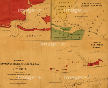
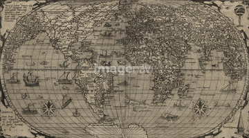
‚±‚جŒںچُŒ‹‰ت‚ة‚حپACharts of Savannah River, Pensacola Bay, and Key WپcپAWorld Map 1525پACuba - 1588پAOrtelius Africa - 1579پAPoland - 1568پAWorld - 1568 1560‚ب‚ا‚ھٹـ‚ـ‚ê‚ؤ‚¢‚ـ‚·پB

51436562
51437118
53101234

64055080
51436234
51436235
51436236
51436237

64055079
53115772
51436416
51437253
51436588


51435744
51436078
51436171
51436231
51436232
51436241
51436285
51436307
51436309

51436390
51436399

51405927

51405928

51405929


51405945

51410020
51436296

51435662
51435704
51490185
51490186
51436239
51435889
51436334
51435827
51425690
53100429
51430872

64052693

64052698
51430897
51435641
51436027
51436128

51437233

51437245

51437251
51436233
51491058
51436242
51436689

51437232
51437259
51425502
51426600

51426610


51430892
51430906
51410018
51982289
51980783


64055083
53119579
51435831
51435893

51436112
51436338
51436425

51435937

51435938
51435567
51435753
51436292
51436293
52107309

51436648
51422391
64082750
51489955
64083460
51436238

51436240
64083036
51437240

64083505

51435928

51435939
51436584
53121303
52105188
51435890
51436335
51495532
51435833
51435903
51435905
51435912

51436182


51436346
51436347
51436350

51436398


51436386

51435924

51435925


51435929

51435931

| ژںƒyپ[ƒW |
