HOME > ژتگ^ > ڈو‚蕨پEŒً’ت > Œً’تƒCƒپپ[ƒW > ’nگ}
10,000Œڈ‚جژتگ^‘fچق‚ھŒںچُ‚³‚ê‚ـ‚µ‚½پB
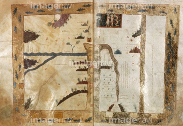
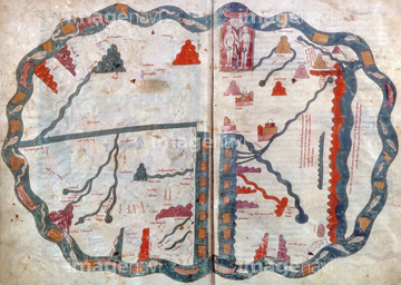
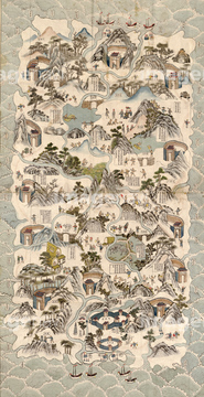
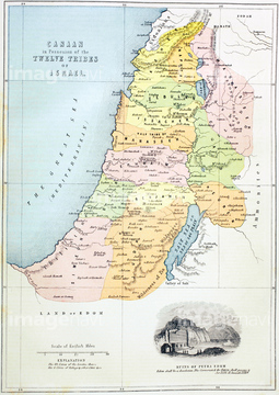
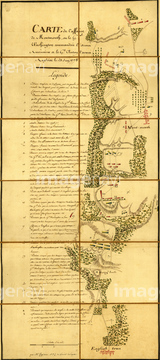
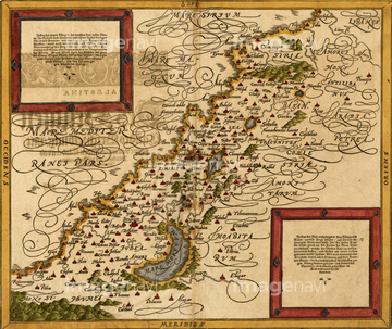
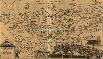
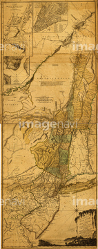
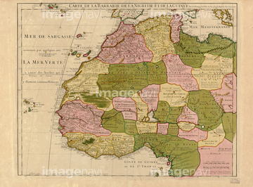
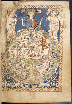
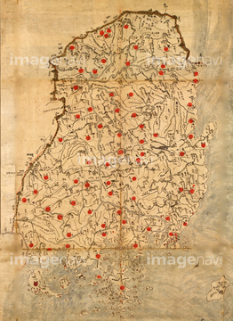
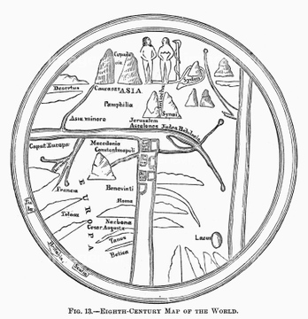
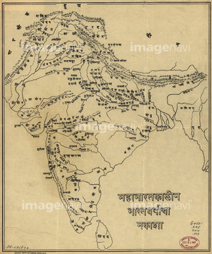
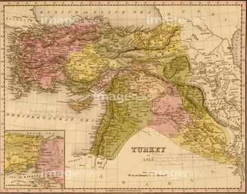
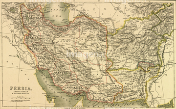
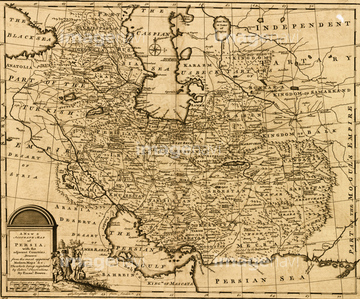
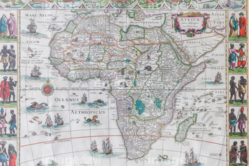
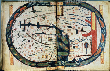
‚±‚جŒںچُŒ‹‰ت‚ة‚حپAƒCƒ“ƒh‚جŒأ’nگ}پARibero's world map, 1529پAPsalter world mappa mundi, c.1260پAChinese Medieval World MapپAPictorial Chinese Map 1800پAPersia in the 18th Century 1774‚ب‚ا‚ھٹـ‚ـ‚ê‚ؤ‚¢‚ـ‚·پB
51436136

51436129

51436130
51436144

64055077

64055078

51436143

51422778


51436132
51436128

51422780


51435838
51422777
51436142

51423139
51902854
51902300

51435523
51436135
51436163

51436137
51436139
64082739
51902260

51436141
51436203

10122909


64052692
51436906

51422843

64055079
64082664
51435517
51435545
51435521
30047322

51435514
51435515
64083460
51422779
51436284

51436216
51436244
70272646


64052655


10307361

10307301

10307331

10307344

10307345

10307349

10307351

10307357

10307308
51906159

11830107

51405937

11830077

64055074

51422774

51435518
51435520
51435904
51417096

51430892
51436148

51422391
51436318
51436297
51435743
51430889
51435696
51435876
51436313

51405939

51435808
30038110
30047318

30047320

30047323

51436651
51436168


70272644
70272645

51435744

51938834
19602225
70272647
51436011
51436652
51493137

41226048


51435907
51435909
51436201
51436302
51436314

51436320
51436321
51436322

51436349
51436355
51436654
51435830
51436347


51436694
51436151

51436420

51436419


51436182
51436222

51436223
51435552

51410014

51405944


64052693
11830092

64052695
11830058
11830068
11830076
| ژںƒyپ[ƒW |
