HOME > ژتگ^ > ڈو‚蕨پEŒً’ت > Œً’تƒCƒپپ[ƒW > ’nگ}
10,000Œڈ‚جژتگ^‘fچق‚ھŒںچُ‚³‚ê‚ـ‚µ‚½پB
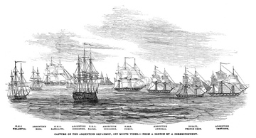
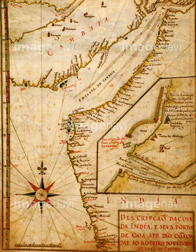
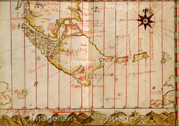
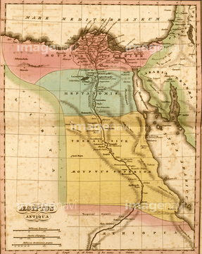
‚±‚جŒںچُŒ‹‰ت‚ة‚حپAMap of Italian Coast above Rome 1602پAMap of Italy Near Florence 1602پAMaps of Italian Islands 1602پAMap of a Mediterranean Island 1602پAMap of the Island of Cyprus 1602پAMap of Greece 1602‚ب‚ا‚ھٹـ‚ـ‚ê‚ؤ‚¢‚ـ‚·پB
51417326


51436174


51435740


51435741


64055083
51436691

51436182

51410019
51437233


51436074

51436111
30038092

51435930


51411444

51411445

51411446

51411447

51411448

51411449


51411451

51411452

51411453

51411454

51411455

51411457


51411459

51411460

51411461

51411462

51411463

51411464

51411465

51411466

51411467

51411468

51411469

51411470

51411502

51411503

51411504

51411505

51411506

51411508

51411509


51411511

51411512

51411513


51411516

51411517

51411518

51411519

51411520

51411521

51411522

51411523

51411524

64055082

64016158
51451555
53129425
51436373
51918197
64086528
99046051


51902218

51435928

51435939


51436021

51436026

51436112

51436129

51436130

51436153


51436158

51436166

51436287

51436290

51436315

51436319

51436380

51436398

51436414

51405941

51405946

51410014

51410015
51436332

51435662

40583494
51435947
64083041
51435805
51435814
51435885
51436059
51436060
51436330
51436370
51436371
51436374

64052692

64055076

64055077

64055081
51437087
51435887
51437218

51435535
51435546


51435558

51435559

51435560

51435561

51435562

51435565
51435704


51435720

51435721

51435722

51435723

51435724

51435725

51435726

51435727

51435728

51435729

51435730

51435731


51435734

51435735

51435738

51435739

51435746

51435747
| ژںƒyپ[ƒW |
