HOME > ژتگ^ > ڈو‚蕨پEŒً’ت > Œً’تƒCƒپپ[ƒW > ’nگ}
10,000Œڈ‚جژتگ^‘fچق‚ھŒںچُ‚³‚ê‚ـ‚µ‚½پB
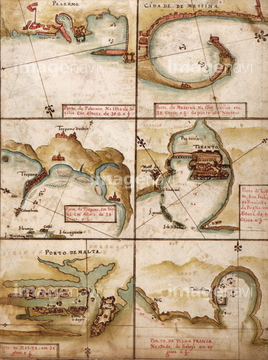
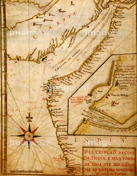
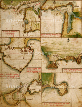
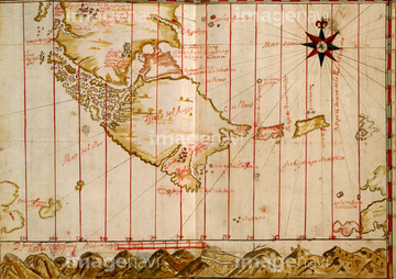
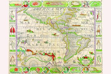
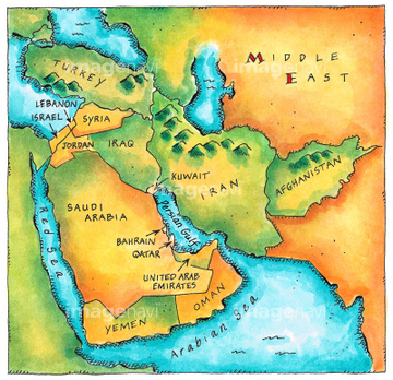
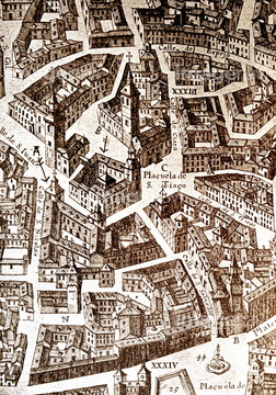
‚±‚جŒںچُŒ‹‰ت‚ة‚حپAMap of the Pacific Ocean 1602پAMap of the Island of Cyprus 1602پAMap of the area around Arras, France 1622پAPolar Projection Map of the World 1700پANovus Planiglobii Terrestris Per Utrumque Polum CoپcپAMexico, New Spain - 1656‚ب‚ا‚ھٹـ‚ـ‚ê‚ؤ‚¢‚ـ‚·پB


51436182


64055083

51411504

51411511

51436174

51435740
51436298

51411459

51436398

51435741
51436363

51436129

51410019

51430900

51411502

51411512
51430883

51436205

51411468

51411448

51411513

51436130

51411449

51411465


51437221

51436112


64055077

64055082
51436206

51436143

51411456
51437233
51902247
51920499

51436308

51411444

51411445

51411446

51411447

51411453

51411454

51411455

51411466

51411467

51411469

51411470

51411503

51411516

51436691

51411457

51411505

51411506

51411508

51411509

51411523

51411524


51411452


51411461

51411462

51411464


51411517

51411518

51411519

51411520


51435747
51436299


51436380

51424030
51430890
51422776


51436021

51436026

51436074

51436111

51436153

51436158

51436166

51436287

51436290

51436315

51436319

51436414

51405941

51405946

51410014

51410015


64052692

51435535

51435722

51435723

51435730

51435739

51435724

51435725

51435731

51435735

51436137
51436139
64083417
51430901
51437218


51435924

51435925


51435929

51435931

51435937

51435938
51436317

51424032

51435930

51411451

51411460

51411463


51411521

51411522

51435734

51435921


51436391

51435546

30038110

51421591

51435928

51435939

64055076

64055081
64083436

51435746

51422778

51422156

51422774


40860997
40861030
40861055
51435923


51435558
| ژںƒyپ[ƒW |
