HOME > ژتگ^ > ڈو‚蕨پEŒً’ت > Œً’تƒCƒپپ[ƒW > ’nگ}
10,000Œڈ‚جژتگ^‘fچق‚ھŒںچُ‚³‚ê‚ـ‚µ‚½پB
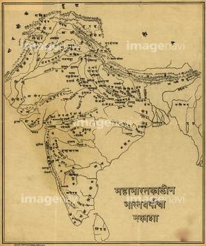
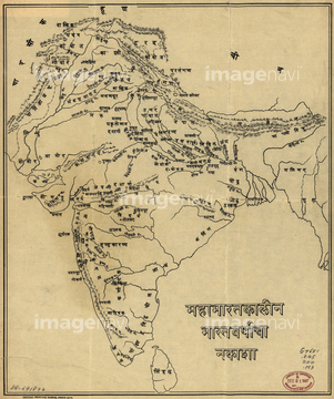
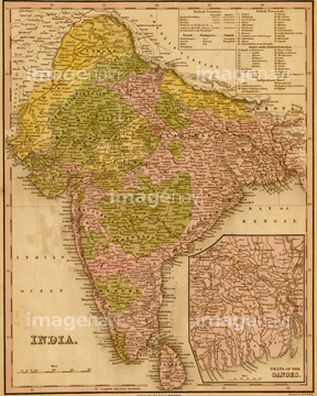
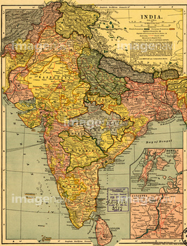
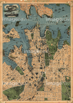
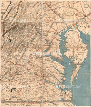
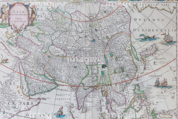
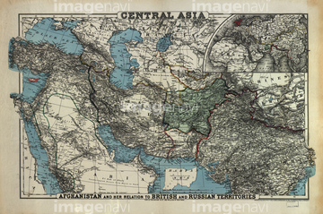
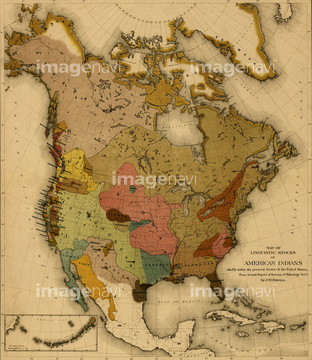
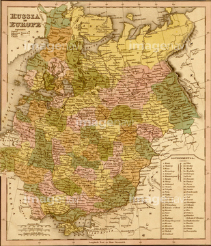
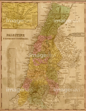
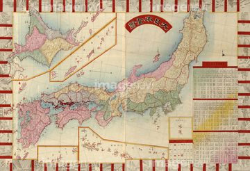
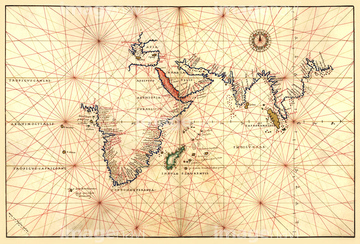
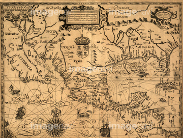
‚±‚جŒںچُŒ‹‰ت‚ة‚حپAƒCƒ“ƒh‚جŒأ’nگ}پAŒأ’nگ}پAMap of Imperial Russia - 1745پAMap of northern India with CalcuttaپAAeroplane map of Sydney, Australia - 1922پAMap of Eastern Virginia & The Chesapeake‚ب‚ا‚ھٹـ‚ـ‚ê‚ؤ‚¢‚ـ‚·پB
51436203
51435518

10122909
51435909
51436201
51436314

53131958
10918538
10918543

51435844

51436163
51436355
51436132

51435568
51437257
53131956
53131957

53131959
53131961
51436136
51902246

10307308
10307303
10307310
10307336

64055077

64055078

64052692


51421899

51421905

64052698
51435517
51435545
30047322

51435514
51435515
51436284

51436216
51436244
51417174
70272646


64055079
51902247

64052655

10307361

53131962


10307301

10307331

10307344

10307345

10307349

10307351

10307357
11830107
40515447
40515471
40515475
40515478
40534589

51422774
11830077
70097071
70097074
70097078
70097079

70097080


64055074
53125045
64082961
51937958
51902260
51435520
51902854
51902300
51436313
51435521

51436148
16907883
51436318
51435696


51405939


51422780


30047318

30047320

30047323

51435808

51436651
51436168


70272644
70272645
51462299


51422779
51417176
70272647

51423095
51435563


51910849
51977525
51977531
51977595
51435907
51436144
51436302
51436320
51436321
51436322

51436349

51436654

51422778
51435830

51435838
51436151

51436420

51436419
40515448
51901366

51436223
51435552

51405937


51410014

51405944

51436129

64052693

70102713

51435710

30038116

10307320

10307332

10307334

10307335

10307348

10307362
64055080
70097072
70097073
70097075
70097076
70097077

64055081
70125588
51902245

10307341
| ژںƒyپ[ƒW |
