HOME > ژتگ^ > ڈو‚蕨پEŒً’ت > Œً’تƒCƒپپ[ƒW > ’nگ}
10,000Œڈ‚جژتگ^‘fچق‚ھŒںچُ‚³‚ê‚ـ‚µ‚½پB
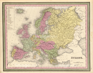
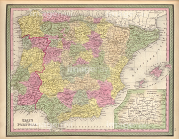
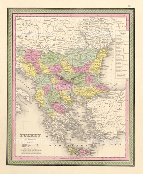
‚±‚جŒںچُŒ‹‰ت‚ة‚حپAEthnographic Map of Europe 1848پAUntitled Map 1482پAEurope 1862پASpain & Portugal 1862پASwitzerland 1862پAAustria & Turkey In Europe - 1862‚ب‚ا‚ھٹـ‚ـ‚ê‚ؤ‚¢‚ـ‚·پB

51436216
51436244

51436208
51436352
51436211
51436218

51436223
51435830
51435907

51436349

51436252
51436213
51436215
51436219
51436250
51436222
51436225
51436212

51436209
51436217
51436221

51422774
51435758


51436651

64052692

51430889

51422778
51436210
51436248

51436224

51422780

51421901

64055077
51430884

51436264

51405939
51435826
51435831
51435835
51435840
51435888
51435893
51435900
51435905
51436288
51436333
51436338
51436343
51436344
51436345
51436350

64055078


51435542
51435555
51435844
51435876
51436304
51436305
51436311
51436351
51436353


51435548


51435695

51436273

51423095

51405937

51410014

51405944

51411470
51435846
51487433

51436308
51435637

51422887
51436229
51436251

64055079
51435709
51435712
51435714
51436283

64052655

51435752
51435827
51435833
51435889
51435890
51435891
51435892

51435894
51435895
51435896
51435897
51435903
51435912
51436334
51436335
51436336
51436337

51436339
51436340
51436341
51436342
51436346
51436347
51436348
51436284


51435781


51435543

51435838
51435909
51436320
51436322
51436355


51436420


51436419
51435668
51435672
51435675
51435680
51435685

51435692
51435693
51435706
51435810
51435815
51435821
51435823
51435824
51435841
51435853
51435854
51435855
51435858
51435861
51435862
51435863
51435864
51435869
51435886
51435906
51435913
51436000
51436004
| ژںƒyپ[ƒW |
