HOME > ژتگ^ > ڈو‚蕨پEŒً’ت > Œً’تƒCƒپپ[ƒW > ’nگ}
10,000Œڈ‚جژتگ^‘fچق‚ھŒںچُ‚³‚ê‚ـ‚µ‚½پB
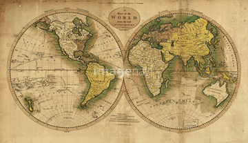
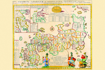
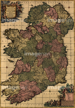
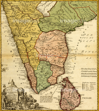
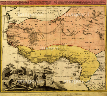
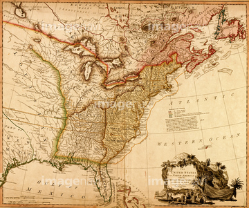
‚±‚جŒںچُŒ‹‰ت‚ة‚حپA18th century map of JamaicaپAMap of America - 1781پAPersia in the 18th Century 1774پAAsia - 1725پAPersia - Iran - 1767پAAsia - 1700's‚ب‚ا‚ھٹـ‚ـ‚ê‚ؤ‚¢‚ـ‚·پB
51436244
51436252
51436250
51436218
51436248
51436213
51436215
51436219
51436222
51436224

51436216
51436225
51436251
51436221

51436211
51436247


51405937

51405944

51421901

51436284

51436324
51436245
51436405

64055078
51436208
51436352
51436212
51435545
51436387

51436223
51435830
51436011
51435907

51436349

51436291
51436397
51436400
51436403
51437236
51430902

64052655
51436027
51435521
51436310
51436313
51436316
51436323
51435536
51436003
51436077
51435538
51435553
51436402

51435745

51436381
51436382

51436289

64052692
51436314
51436321
51435999
51436005
51436007
51436008
51436022
51436032
51436036

51436060
51436062
51436075
51436076
51436114
51436115
51436152
51436170
51435529
51435567
51436210

64083420

64055077

51405939

64052691

64055073


51436383
51436209

51436392
51436365

64055074

40544551
51436413
51436698

51437213
51436128
51437249

51436911
51436912
51437090
51436904
51436899

51410014

51411470
41421470
41421852
41102765
41102766
41102767

51421916

51421884

51421885

51421889

51421898

51421879

51421880

51421899

51421905
51430893

51421907

51421920
51436217

51436308

51435758
51436229


64055079

51435748
51430895

64055081


51436894
51436907
51437073
51436041
51436884
51436885
51436886
51436887
51437153
51437082
51437084
| ژںƒyپ[ƒW |
